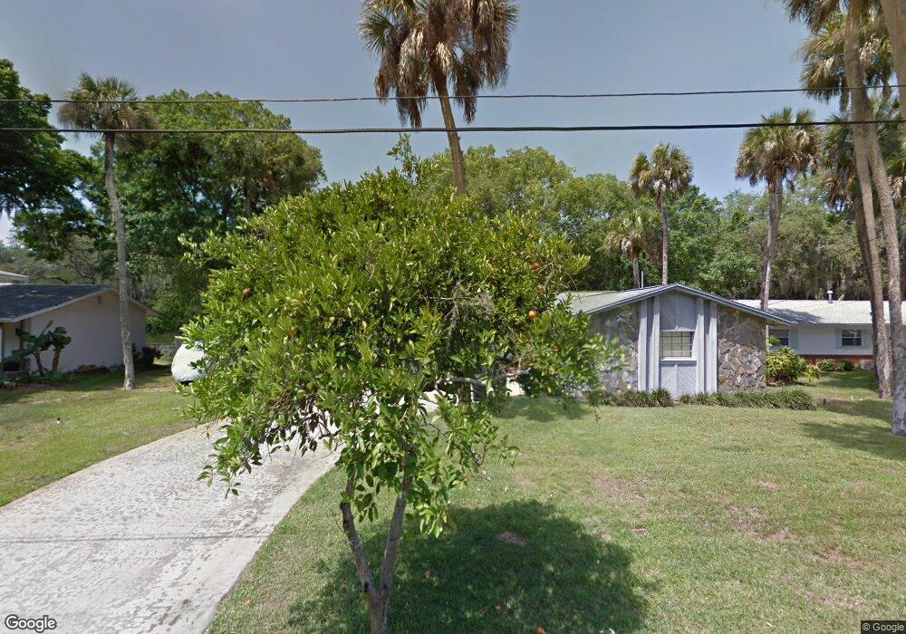
1302 Royal Birkdale Cir Rockledge, FL 32955
Estimated Value: $305,925 - $362,000
3
Beds
2
Baths
1,672
Sq Ft
$206/Sq Ft
Est. Value
About This Home
This home is located at 1302 Royal Birkdale Cir, Rockledge, FL 32955 and is currently estimated at $345,231, approximately $206 per square foot. 1302 Royal Birkdale Cir is a home located in Brevard County with nearby schools including Golfview Elementary School, John F. Kennedy Middle School, and Rockledge Senior High School.
Ownership History
Date
Name
Owned For
Owner Type
Purchase Details
Closed on
Jan 23, 2002
Sold by
Maas Anne E
Bought by
Savage Gary E and Savage Marianne L
Current Estimated Value
Home Financials for this Owner
Home Financials are based on the most recent Mortgage that was taken out on this home.
Original Mortgage
$90,250
Outstanding Balance
$37,143
Interest Rate
7.14%
Mortgage Type
Purchase Money Mortgage
Estimated Equity
$308,088
Create a Home Valuation Report for This Property
The Home Valuation Report is an in-depth analysis detailing your home's value as well as a comparison with similar homes in the area
Home Values in the Area
Average Home Value in this Area
Purchase History
| Date | Buyer | Sale Price | Title Company |
|---|---|---|---|
| Savage Gary E | $95,000 | -- |
Source: Public Records
Mortgage History
| Date | Status | Borrower | Loan Amount |
|---|---|---|---|
| Open | Savage Gary E | $90,250 |
Source: Public Records
Tax History Compared to Growth
Tax History
| Year | Tax Paid | Tax Assessment Tax Assessment Total Assessment is a certain percentage of the fair market value that is determined by local assessors to be the total taxable value of land and additions on the property. | Land | Improvement |
|---|---|---|---|---|
| 2025 | $930 | $97,080 | -- | -- |
| 2024 | $903 | $94,350 | -- | -- |
| 2023 | $903 | $91,610 | $0 | $0 |
| 2022 | $823 | $88,950 | $0 | $0 |
| 2021 | $820 | $86,360 | $0 | $0 |
| 2020 | $814 | $85,170 | $0 | $0 |
| 2019 | $798 | $83,260 | $0 | $0 |
| 2018 | $791 | $81,710 | $0 | $0 |
| 2017 | $785 | $80,030 | $0 | $0 |
| 2016 | $782 | $78,390 | $25,000 | $53,390 |
| 2015 | $797 | $77,850 | $22,000 | $55,850 |
| 2014 | $791 | $77,240 | $22,000 | $55,240 |
Source: Public Records
Map
Nearby Homes
- 1292 Saint Andrews Dr
- 1131 Tarpon Dr
- 1122 Manatee Dr
- 1355 Gleneagles Way
- 1044 Pompano Dr
- 1303 Georgia Ave
- 1107 Woodlawn Rd
- 1387 Gleneagles Ct
- 1221 Saint Andrews Dr
- 1400 Hoy Lake Ct
- 1233 Gordon Ave
- 1428 Gleneagles Way
- 967 Trinity St
- 1173 Gordon Ave
- 1600 Woodland Dr Unit 4105
- 1600 Woodland Dr Unit 4205
- 1600 Woodland Dr Unit 8209
- 1600 Woodland Dr Unit 4206
- 935 S Varr Ave
- 1009 S Fiske Blvd
- 1298 Royal Birkdale Cir
- 1306 Royal Birkdale Cir
- 1309 Royal Birkdale Cir
- 1301 Royal Birkdale Cir
- 1310 Royal Birkdale Cir
- 1273 Royal Birkdale Ct
- 1287 Royal Birkdale Cir
- 1290 Royal Birkdale Cir
- 1314 Royal Birkdale Cir
- 1281 Royal Birkdale Ct
- 1313 Royal Birkdale Cir
- 1271 Royal Birkdale Ct
- 1283 Royal Birkdale Cir
- 1286 Royal Birkdale Cir
- 1325 Royal Birkdale Cir
- 1282 Royal Birkdale Cir
- 1318 Royal Birkdale Cir
- 1277 Royal Birkdale Ct
- 1329 Royal Birkdale Cir
- 1157 Manatee Dr