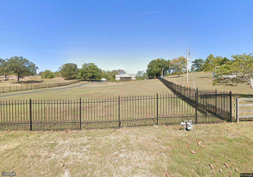
13020 Colonel Glenn Rd Little Rock, AR 72210
Western Little Rock NeighborhoodEstimated Value: $465,000 - $563,474
3
Beds
2
Baths
2,400
Sq Ft
$210/Sq Ft
Est. Value
About This Home
This home is located at 13020 Colonel Glenn Rd, Little Rock, AR 72210 and is currently estimated at $505,119, approximately $210 per square foot. 13020 Colonel Glenn Rd is a home located in Pulaski County with nearby schools including Lawson Elementary School, Joe T. Robinson Middle School, and Joe T. Robinson High School.
Ownership History
Date
Name
Owned For
Owner Type
Purchase Details
Closed on
Dec 28, 2017
Sold by
Smith Debbie Kay and Siler Ricky Edwin
Bought by
Cochran Robert L
Current Estimated Value
Home Financials for this Owner
Home Financials are based on the most recent Mortgage that was taken out on this home.
Original Mortgage
$150,000
Interest Rate
3.94%
Mortgage Type
Future Advance Clause Open End Mortgage
Create a Home Valuation Report for This Property
The Home Valuation Report is an in-depth analysis detailing your home's value as well as a comparison with similar homes in the area
Home Values in the Area
Average Home Value in this Area
Purchase History
| Date | Buyer | Sale Price | Title Company |
|---|---|---|---|
| Cochran Robert L | $289,000 | West Little Rock Title Compa |
Source: Public Records
Mortgage History
| Date | Status | Borrower | Loan Amount |
|---|---|---|---|
| Closed | Cochran Robert L | $150,000 |
Source: Public Records
Tax History Compared to Growth
Tax History
| Year | Tax Paid | Tax Assessment Tax Assessment Total Assessment is a certain percentage of the fair market value that is determined by local assessors to be the total taxable value of land and additions on the property. | Land | Improvement |
|---|---|---|---|---|
| 2025 | $4,335 | $85,344 | $11,400 | $73,944 |
| 2024 | $4,335 | $85,344 | $11,400 | $73,944 |
| 2023 | $4,335 | $85,344 | $11,400 | $73,944 |
| 2022 | $4,621 | $85,344 | $11,400 | $73,944 |
| 2021 | $2,258 | $41,690 | $6,300 | $35,390 |
| 2020 | $2,258 | $41,690 | $6,300 | $35,390 |
| 2019 | $2,258 | $41,690 | $6,300 | $35,390 |
| 2018 | $2,258 | $41,690 | $6,300 | $35,390 |
| 2017 | $1,908 | $41,690 | $6,300 | $35,390 |
| 2016 | $1,942 | $42,330 | $10,500 | $31,830 |
| 2015 | $2,150 | $42,330 | $10,500 | $31,830 |
| 2014 | $2,150 | $42,330 | $10,500 | $31,830 |
Source: Public Records
Map
Nearby Homes
- 13320 Colonel Glenn Rd
- 0 Dollarway Dr Dr
- 12700 Lawson Rd
- 12600 Bertha Rd
- 000 Colonel Glenn Ct
- 0 Colonel Glenn Ct
- 26 Congressional Dr
- 12 Woodfern Dr
- 14524 Lawson Rd
- 9 Winterfern Cove
- 105 Sanibel Cir
- 2904 Sweetgrass Dr
- 12425 Brodie Creek Trail
- 2820 Mossy Creek Dr
- 0 Talley Rd
- 000 Talley Rd
- 2806 Woodsgate Dr
- 12 Summer Ridge Ct
- 2905 Woodsgate Dr
- 3015 Woodsgate Dr
- 13004 Colonel Glenn Rd
- 13006 Colonel Glenn Rd
- 13000 Colonel Glenn Rd
- 13100 Colonel Glenn Rd
- 13109 Colonel Glenn Rd
- 13224 Colonel Glenn Rd
- 12605 Colonel Glenn Rd
- 13111 Colonel Glenn Rd
- 12603 Colonel Glenn Rd
- 13117 Colonel Glenn Rd
- 12601 Colonel Glenn Rd
- 12400 Col Glenn
- 12423 Colonel Glenn Rd
- 13308 Lawson Rd
- 13500 Colonel Glenn Rd
- 13906 Cooper Orbit Cove
- 13220 Lawson Rd
- 13304 Lawson Rd
- 13502 Colonel Glenn Rd
- 13501 Colonel Glenn Rd