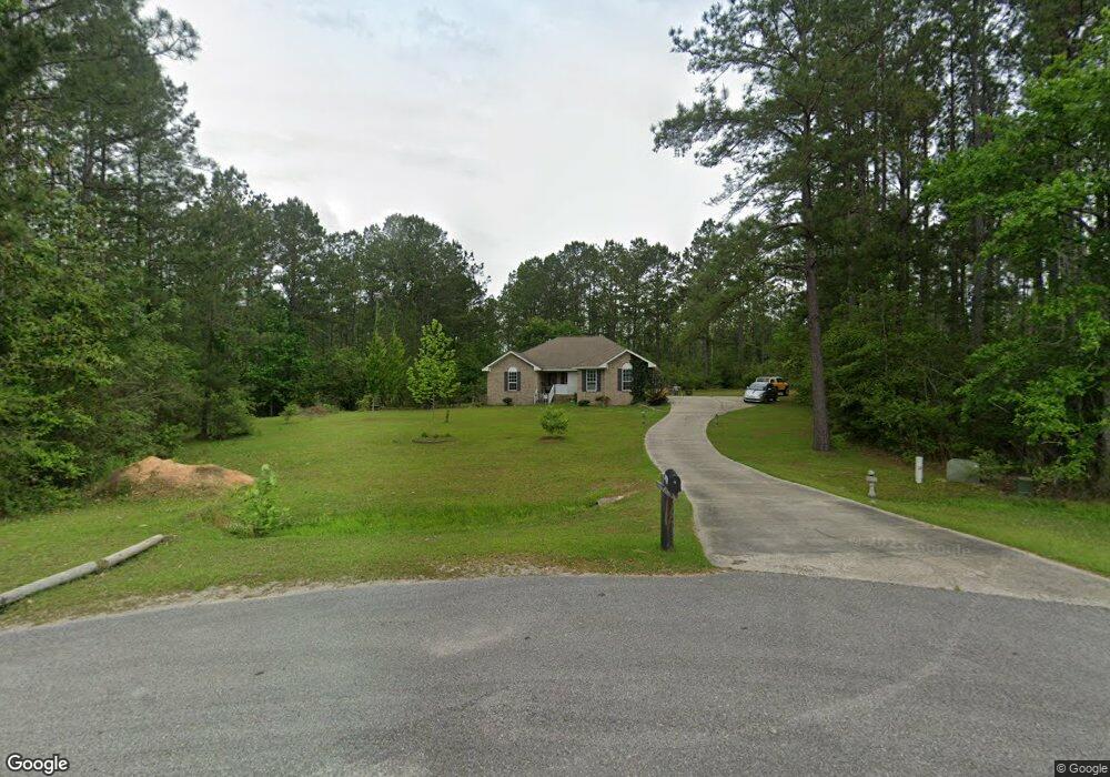
13021 Desoto Bluff Cir Vancleave, MS 39565
Estimated Value: $304,068 - $386,000
--
Bed
3
Baths
2,072
Sq Ft
$171/Sq Ft
Est. Value
About This Home
This home is located at 13021 Desoto Bluff Cir, Vancleave, MS 39565 and is currently estimated at $355,023, approximately $171 per square foot. 13021 Desoto Bluff Cir is a home located in Jackson County with nearby schools including Vancleave Upper Elementary School, Vancleave Lower Elementary School, and Vancleave Middle School.
Ownership History
Date
Name
Owned For
Owner Type
Purchase Details
Closed on
Dec 14, 2005
Sold by
Brown Wayne H and Brown Harold T
Bought by
Thompson Mark E
Current Estimated Value
Home Financials for this Owner
Home Financials are based on the most recent Mortgage that was taken out on this home.
Original Mortgage
$32,000
Interest Rate
7.75%
Create a Home Valuation Report for This Property
The Home Valuation Report is an in-depth analysis detailing your home's value as well as a comparison with similar homes in the area
Home Values in the Area
Average Home Value in this Area
Purchase History
| Date | Buyer | Sale Price | Title Company |
|---|---|---|---|
| Thompson Mark E | -- | -- |
Source: Public Records
Mortgage History
| Date | Status | Borrower | Loan Amount |
|---|---|---|---|
| Closed | Thompson Mark E | $32,000 |
Source: Public Records
Tax History Compared to Growth
Tax History
| Year | Tax Paid | Tax Assessment Tax Assessment Total Assessment is a certain percentage of the fair market value that is determined by local assessors to be the total taxable value of land and additions on the property. | Land | Improvement |
|---|---|---|---|---|
| 2024 | $1,798 | $17,475 | $2,705 | $14,770 |
| 2023 | $1,798 | $17,475 | $2,705 | $14,770 |
| 2022 | $1,738 | $17,475 | $2,705 | $14,770 |
| 2021 | $1,746 | $17,552 | $2,705 | $14,847 |
| 2020 | $1,724 | $16,753 | $2,505 | $14,248 |
| 2019 | $1,702 | $16,753 | $2,505 | $14,248 |
| 2018 | $1,741 | $16,753 | $2,505 | $14,248 |
| 2017 | $1,775 | $16,753 | $2,505 | $14,248 |
| 2016 | $1,722 | $16,993 | $3,543 | $13,450 |
| 2015 | $1,603 | $159,140 | $35,430 | $123,710 |
| 2014 | $1,616 | $16,313 | $3,543 | $12,770 |
| 2013 | $1,553 | $16,313 | $3,543 | $12,770 |
Source: Public Records
Map
Nearby Homes
- 20507 Old Biloxi Rd
- 0 Nhn Old Biloxi Rd
- 0 Old Biloxi Rd
- 8405 Wire Rd
- 3019 R Bridge Creek Rd
- 9900 Little Buck Rd
- 15429 Indian Fork Rd
- 0 Ray Wilson Rd
- 4180 Longleaf Place
- 24203 Bilbo Rd
- Nhn Ramsey Rd
- 0 Ramsey Rd
- 0 Larue Rd Unit 4090289
- 10100 Vestry Rd
- 0 Hwy 57 Unit 4034427
- 0 Red Creek Rd Unit LotWP001
- 0 Joe Batt Rd
- 12575 Joe Batt Rd
- 5106 Vestry Rd Unit A
- 00 Pasture Rd
- 13011 Desoto Bluff Cir
- 13012 Desoto Bluff Cir
- 13018 Desoto Bluff Cir
- LOT 17 Lot 17 Desoto Bluff Dr
- 13009 Desoto Bluff Cir
- 0 Desoto Bluff Cir Unit 3172217
- 0 Desoto Bluff Cir Unit 3172222
- 0 Desoto Bluff Cir Unit 3172220
- 0 Desoto Bluff Cir Unit 3172215
- 0 Desoto Bluff Cir Unit 3172216
- 0 Desoto Bluff Cir Unit 3172218
- 0 Desoto Bluff Cir Unit 3172214
- 0 Desoto Bluff Cir Unit 3172219
- 0 Desoto Bluff Cir Unit 3172221
- 0 Desoto Bluff Cir Unit 3172213
- 0 Desoto Bluff Cir Unit 3229305
- 0 Desoto Bluff Cir Unit 3284680
- 0 Desoto Bluff Cir Unit 3334281
- 0 Desoto Bluff Cir Unit 3350840
- LOT 14 Desoto Bluff Cir