1303 Michael Ct Unit 172 Bayside, NY 11360
Bayside NeighborhoodEstimated Value: $997,978 - $1,049,000
--
Bed
--
Bath
1,800
Sq Ft
$566/Sq Ft
Est. Value
About This Home
This home is located at 1303 Michael Ct Unit 172, Bayside, NY 11360 and is currently estimated at $1,018,745, approximately $565 per square foot. 1303 Michael Ct Unit 172 is a home located in Queens County with nearby schools including P.S. 209 - Clearview Gardens, J.H.S. 194 William Carr, and Bayside High School.
Ownership History
Date
Name
Owned For
Owner Type
Purchase Details
Closed on
May 28, 2025
Sold by
Kim Hae Soog and Kim Hyunji
Bought by
Li Wen
Current Estimated Value
Home Financials for this Owner
Home Financials are based on the most recent Mortgage that was taken out on this home.
Original Mortgage
$498,000
Outstanding Balance
$495,836
Interest Rate
6.76%
Mortgage Type
Purchase Money Mortgage
Estimated Equity
$522,909
Purchase Details
Closed on
Jan 6, 2014
Sold by
Zecher Caroline
Bought by
Kim Hae Soog and Kim Hyunji
Purchase Details
Closed on
Apr 30, 1996
Sold by
Zecher Alfred and Zecher Caroline
Bought by
Zecher Caroline
Create a Home Valuation Report for This Property
The Home Valuation Report is an in-depth analysis detailing your home's value as well as a comparison with similar homes in the area
Home Values in the Area
Average Home Value in this Area
Purchase History
| Date | Buyer | Sale Price | Title Company |
|---|---|---|---|
| Li Wen | $994,800 | -- | |
| Li Wen | $994,800 | -- | |
| Kim Hae Soog | $730,000 | -- | |
| Kim Hae Soog | $730,000 | -- | |
| Zecher Caroline | -- | First American Title Ins Co | |
| Zecher Caroline | -- | First American Title Ins Co |
Source: Public Records
Mortgage History
| Date | Status | Borrower | Loan Amount |
|---|---|---|---|
| Open | Li Wen | $498,000 | |
| Closed | Li Wen | $498,000 |
Source: Public Records
Tax History Compared to Growth
Tax History
| Year | Tax Paid | Tax Assessment Tax Assessment Total Assessment is a certain percentage of the fair market value that is determined by local assessors to be the total taxable value of land and additions on the property. | Land | Improvement |
|---|---|---|---|---|
| 2025 | $10,125 | $50,410 | $4,040 | $46,370 |
| 2024 | $10,125 | $50,410 | $4,415 | $45,995 |
| 2023 | $9,970 | $49,640 | $3,808 | $45,832 |
| 2022 | $9,349 | $61,297 | $5,046 | $56,251 |
| 2021 | $9,298 | $54,417 | $5,046 | $49,371 |
| 2020 | $8,892 | $55,271 | $5,046 | $50,225 |
| 2019 | $8,788 | $56,736 | $5,046 | $51,690 |
| 2018 | $8,433 | $41,367 | $3,960 | $37,407 |
| 2017 | $7,955 | $39,026 | $3,815 | $35,211 |
| 2016 | $7,360 | $39,026 | $3,815 | $35,211 |
| 2015 | $4,002 | $35,007 | $5,046 | $29,961 |
| 2014 | $4,002 | $35,345 | $5,046 | $30,299 |
Source: Public Records
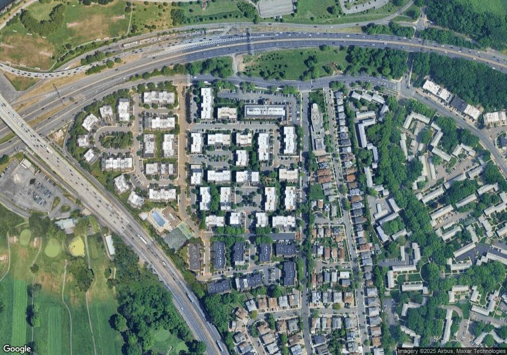
Map
Nearby Homes
- 13-25 Estates Ln Unit 3F
- 14-04 Michael Place Unit 113 U
- 12-34 Diane Place Unit 205 U
- 12-32 Diane Place Unit 204L
- 208-06 Robert Rd Unit 2
- 14-14 Bonnie Ln
- 1404 Bonnie Ln Unit 15803
- 208-08 Estates Dr Unit 22125
- 12-36 Estates Ln Unit 49 L
- 12-30 Estates Ln Unit 2
- 12-35 Robin Ln Unit Upper
- 1338 Robin Ln Unit 1212
- 12-31 Robin Ln Unit Triplex
- 210 E 15th St Unit 2N
- 210 E 15th St Unit 1A
- 20607 Emily Rd Unit 3
- 208-18 15th Rd
- 13-40 212th St Unit 141
- 12-06 Robin Ln Unit 1028
- 13-10 212th St Unit 118
- 1303 Michael Ct
- 1303 Michael Ct Unit 1621
- 1303 Michael Ct Unit 1622
- 1305 Michael Ct
- 1305 Michael Ct
- 1305 Michael Ct
- 1301 Michael Ct
- 1301 Michael Ct
- 1301 Michael Ct Unit 1624
- 1301 Michael Ct Unit 1623
- 1302 Michael Ct
- 1302 Michael Ct Unit 174B
- 1302 Michael Ct Unit 1625
- 1302 Michael Ct Unit 1626
- 13-03 Michael Ct Unit 172 U
- 13-03 Michael Ct Unit 2FL
- 13-03 Michael Ct
- 13-03 Michael Ct Unit 1Fl
- 13-05 Michael Ct
- 13-05 Michael Ct Unit 171 U