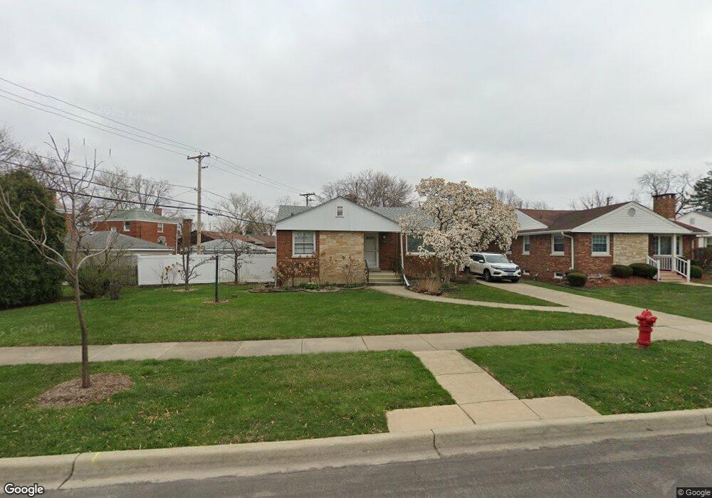
1303 Portsmouth Ave Westchester, IL 60154
Estimated Value: $371,398 - $415,000
4
Beds
2
Baths
1,594
Sq Ft
$250/Sq Ft
Est. Value
About This Home
This home is located at 1303 Portsmouth Ave, Westchester, IL 60154 and is currently estimated at $397,850, approximately $249 per square foot. 1303 Portsmouth Ave is a home located in Cook County with nearby schools including Westchester Primary School, Westchester Intermediate School, and Westchester Middle School.
Ownership History
Date
Name
Owned For
Owner Type
Purchase Details
Closed on
Sep 13, 1999
Sold by
Hoff Weldon
Bought by
Ma Gai and Tran Phung Kim
Current Estimated Value
Home Financials for this Owner
Home Financials are based on the most recent Mortgage that was taken out on this home.
Original Mortgage
$142,400
Interest Rate
7.93%
Purchase Details
Closed on
Jun 26, 1996
Sold by
Carroll Shirley Jean
Bought by
Hoff Weldon and Hoff Lila
Create a Home Valuation Report for This Property
The Home Valuation Report is an in-depth analysis detailing your home's value as well as a comparison with similar homes in the area
Home Values in the Area
Average Home Value in this Area
Purchase History
| Date | Buyer | Sale Price | Title Company |
|---|---|---|---|
| Ma Gai | $178,000 | Prairie Title | |
| Hoff Weldon | $172,000 | -- |
Source: Public Records
Mortgage History
| Date | Status | Borrower | Loan Amount |
|---|---|---|---|
| Closed | Ma Gai | $142,400 |
Source: Public Records
Tax History Compared to Growth
Tax History
| Year | Tax Paid | Tax Assessment Tax Assessment Total Assessment is a certain percentage of the fair market value that is determined by local assessors to be the total taxable value of land and additions on the property. | Land | Improvement |
|---|---|---|---|---|
| 2024 | $6,216 | $27,000 | $6,391 | $20,609 |
| 2023 | $5,497 | $27,000 | $6,391 | $20,609 |
| 2022 | $5,497 | $21,437 | $5,478 | $15,959 |
| 2021 | $5,347 | $21,437 | $5,478 | $15,959 |
| 2020 | $5,290 | $21,437 | $5,478 | $15,959 |
| 2019 | $6,240 | $25,517 | $5,021 | $20,496 |
| 2018 | $6,156 | $25,517 | $5,021 | $20,496 |
| 2017 | $6,055 | $25,517 | $5,021 | $20,496 |
| 2016 | $5,777 | $22,307 | $4,565 | $17,742 |
| 2015 | $5,667 | $22,307 | $4,565 | $17,742 |
| 2014 | $5,551 | $22,307 | $4,565 | $17,742 |
| 2013 | $5,380 | $24,030 | $4,565 | $19,465 |
Source: Public Records
Map
Nearby Homes
- 10072 Drury Ln
- 1119 Newcastle Ave
- 1500 Bristol Ave
- 920 Suffolk Ave
- 923 Manchester Ave
- 1623 Manchester Ave
- 1601 Bristol Ave
- 1247 S Mannheim Rd Unit 3
- 814 Norfolk Ave
- 805 Norfolk Ave
- 1816 Manchester Ave
- 750 Bristol Ave
- 1840 Gardner Rd
- 1907 Suffolk Ave
- 1900 Manchester Ave
- 723 Balmoral Ave
- 626 Manchester Ave
- 10524 Camelot St
- 10531 Camelot St
- 1932 Newcastle Ave
- 1311 Portsmouth Ave
- 10021 Drury Ln
- 10015 Drury Ln
- 10027 Drury Ln
- 1317 Portsmouth Ave
- 10011 Drury Ln
- 1310 Suffolk Ave
- 1321 Portsmouth Ave
- 10007 Drury Ln
- 1302 Portsmouth Ave
- 1250 Portsmouth Ave
- 1310 Portsmouth Ave
- 1316 Suffolk Ave
- 1260 Portsmouth Ave
- 10001 Drury Ln
- 1325 Portsmouth Ave
- 1316 Portsmouth Ave
- 1320 Suffolk Ave
- 10045 Drury Ln
- 1322 Portsmouth Ave