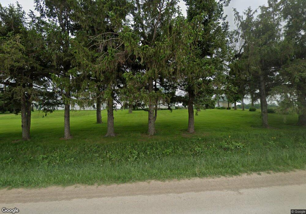
1303 Walford Rd Cedar Rapids, IA 52404
Estimated Value: $243,000 - $387,013
3
Beds
1
Bath
1,503
Sq Ft
$196/Sq Ft
Est. Value
About This Home
This home is located at 1303 Walford Rd, Cedar Rapids, IA 52404 and is currently estimated at $294,338, approximately $195 per square foot. 1303 Walford Rd is a home with nearby schools including Prairie Crest Elementary School, Prairie Heights Elementary School, and Prairie View Elementary School.
Ownership History
Date
Name
Owned For
Owner Type
Purchase Details
Closed on
Jun 22, 2022
Sold by
Barta Helen R
Bought by
Barta Kenneth A and Barta Cynthia M
Current Estimated Value
Purchase Details
Closed on
Jun 21, 2022
Sold by
Louis Barta Elmer
Bought by
Barta Helen R
Purchase Details
Closed on
Dec 22, 2021
Sold by
Dolezal Leonard F
Bought by
Gallagher Jonathan E
Create a Home Valuation Report for This Property
The Home Valuation Report is an in-depth analysis detailing your home's value as well as a comparison with similar homes in the area
Home Values in the Area
Average Home Value in this Area
Purchase History
| Date | Buyer | Sale Price | Title Company |
|---|---|---|---|
| Barta Kenneth A | $234,000 | None Listed On Document | |
| Barta Helen R | -- | -- | |
| Gallagher Jonathan E | -- | Bradley & Riley Pc |
Source: Public Records
Tax History Compared to Growth
Tax History
| Year | Tax Paid | Tax Assessment Tax Assessment Total Assessment is a certain percentage of the fair market value that is determined by local assessors to be the total taxable value of land and additions on the property. | Land | Improvement |
|---|---|---|---|---|
| 2025 | $3,706 | $275,700 | $105,700 | $170,000 |
| 2024 | $3,278 | $240,300 | $96,200 | $144,100 |
| 2023 | $3,278 | $237,800 | $94,500 | $143,300 |
| 2022 | $3,010 | $168,500 | $74,400 | $94,100 |
| 2021 | $2,886 | $168,500 | $74,400 | $94,100 |
| 2020 | $2,886 | $158,900 | $72,400 | $86,500 |
| 2019 | $2,608 | $182,800 | $100,200 | $82,600 |
| 2018 | $2,514 | $182,800 | $100,200 | $82,600 |
| 2017 | $2,486 | $192,000 | $110,300 | $81,700 |
| 2016 | $2,596 | $192,000 | $110,300 | $81,700 |
| 2015 | $2,554 | $193,600 | $108,900 | $84,700 |
| 2014 | $2,374 | $193,900 | $109,200 | $84,700 |
| 2013 | $2,224 | $193,900 | $109,200 | $84,700 |
Source: Public Records
Map
Nearby Homes
- 0 Lawrence Drive West SW Unit C
- 0 Lawrence Drive East SW Unit A 2502372
- 0 Lawrence Drive East SW Unit B 2502371
- 8905 6th St SW Unit Land Lease
- 115 Benesh Ln
- 1065 Highway 965 NW
- 69 Pompas SW
- 69 Pompas Dr
- Lot 5 Joco 50 Subdivision
- Lot
- 9305 Snowberry Dr SW
- 9309 Snowberry Dr SW
- 9313 Snowberry Dr SW
- 12 Verbena SW
- 9317 Snowberry Dr SW
- 9321 Snowberry Dr SW
- 25 Pompas Dr
- 9325 Snowberry Dr SW
- 9329 Snowberry Dr SW
- 8 Verbena Ln SW
- 1225 Walford Rd
- 1404 Walford Rd
- 1101 Walford Rd
- 850 Mann Rd SW Unit 100
- 850 Mann Rd SW Unit A
- 815 Mann Rd
- 519 Walford Rd
- 11300 6th St SW
- 10025 Atlantic Dr SW Unit 100
- 10025 Atlantic Dr SW
- 1155 Capital Dr SW
- 11708 18th St SW
- 507 Walford Rd
- 9915 Atlantic Dr SW Unit 100
- 9915 Atlantic Dr SW Unit 200
- 9915 Atlantic Dr SW Unit 300
- 501 Walford Rd
- 10000 6th St SW
- 10000 6th St SW Unit 500
- 10000 6th St SW Unit 400
