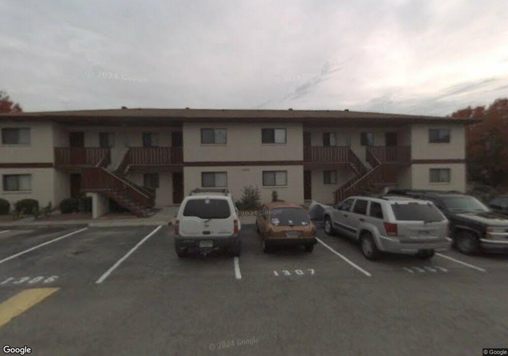
1303 Windsong Cir Augusta, GA 30907
Westside NeighborhoodEstimated Value: $89,000 - $100,000
2
Beds
2
Baths
952
Sq Ft
$100/Sq Ft
Est. Value
About This Home
This home is located at 1303 Windsong Cir, Augusta, GA 30907 and is currently estimated at $95,353, approximately $100 per square foot. 1303 Windsong Cir is a home located in Richmond County with nearby schools including Warren Road Elementary School, Tutt Middle School, and Johnson Magnet.
Ownership History
Date
Name
Owned For
Owner Type
Purchase Details
Closed on
Dec 21, 2006
Sold by
Lapp Rhoda M
Bought by
Skinner Oscar Lane
Current Estimated Value
Home Financials for this Owner
Home Financials are based on the most recent Mortgage that was taken out on this home.
Original Mortgage
$57,900
Outstanding Balance
$34,210
Interest Rate
6.19%
Estimated Equity
$61,143
Purchase Details
Closed on
Jun 2, 1997
Sold by
Carpenter Larry D
Bought by
Lapp Rhoda M
Purchase Details
Closed on
Dec 1, 1986
Sold by
Povia-Ballantine Co
Bought by
Carpenter Larry D
Create a Home Valuation Report for This Property
The Home Valuation Report is an in-depth analysis detailing your home's value as well as a comparison with similar homes in the area
Home Values in the Area
Average Home Value in this Area
Purchase History
| Date | Buyer | Sale Price | Title Company |
|---|---|---|---|
| Skinner Oscar Lane | $59,000 | None Available | |
| Lapp Rhoda M | $40,500 | -- | |
| Carpenter Larry D | $40,900 | -- |
Source: Public Records
Mortgage History
| Date | Status | Borrower | Loan Amount |
|---|---|---|---|
| Open | Skinner Oscar Lane | $57,900 |
Source: Public Records
Tax History Compared to Growth
Tax History
| Year | Tax Paid | Tax Assessment Tax Assessment Total Assessment is a certain percentage of the fair market value that is determined by local assessors to be the total taxable value of land and additions on the property. | Land | Improvement |
|---|---|---|---|---|
| 2025 | $844 | $34,728 | $4,400 | $30,328 |
| 2024 | $844 | $37,356 | $4,400 | $32,956 |
| 2023 | $234 | $32,316 | $4,400 | $27,916 |
| 2022 | $483 | $22,261 | $4,400 | $17,861 |
| 2021 | $474 | $20,426 | $4,400 | $16,026 |
| 2020 | $465 | $20,426 | $4,400 | $16,026 |
| 2019 | $487 | $20,049 | $4,400 | $15,649 |
| 2018 | $491 | $20,049 | $4,400 | $15,649 |
| 2017 | $488 | $20,049 | $4,400 | $15,649 |
| 2016 | $489 | $20,049 | $4,400 | $15,649 |
| 2015 | $493 | $20,049 | $4,400 | $15,649 |
| 2014 | $810 | $20,215 | $4,400 | $15,815 |
Source: Public Records
Map
Nearby Homes
- 1001 Windsong Cir
- 2111 Turtle Ct
- 2108 Turtle Ct
- 3038 Sterling Rd
- 1017 Stevens Creek Rd Unit G182
- 1017 Stevens Creek Rd
- 1405 Colony Place Dr
- 3107 Parrish Rd
- 2020 Autumn Chase
- 826 Mitchell St
- 2044 Bridgewater Dr
- 820 Mitchell St
- 828 Mayo Ln
- 816 Brookfield Pkwy
- 3130 Village West Dr
- 863 Brookfield Pkwy
- 2171 River Park Ct
- 2032 Pheasant Creek Dr
- 1094 Hampstead Place
- 705 Cool Brook Ct
- 1306 Windsong Cir Unit 1306
- 1301 Windsong Cir
- 1308 Windsong Cir
- 1307 Windsong Cir
- 1305 Windsong Cir
- 1304 Windsong Cir
- 1302 Windsong Cir
- 1305 Windsong Way Cir
- 904 Windsong Cir Unit 904
- 907 Windsong Cir
- 903 Windsong Cir
- 902 Windsong Cir Unit 902
- 908 Windsong Cir
- 906 Windsong Cir
- 905 Windsong Cir
- 901 Windsong Cir
- 1204 Windsong Cir Unit 1204
- 1205 Windsong Cir
- 1203 Windsong Cir Unit 1203
- 1208 Windsong Cir