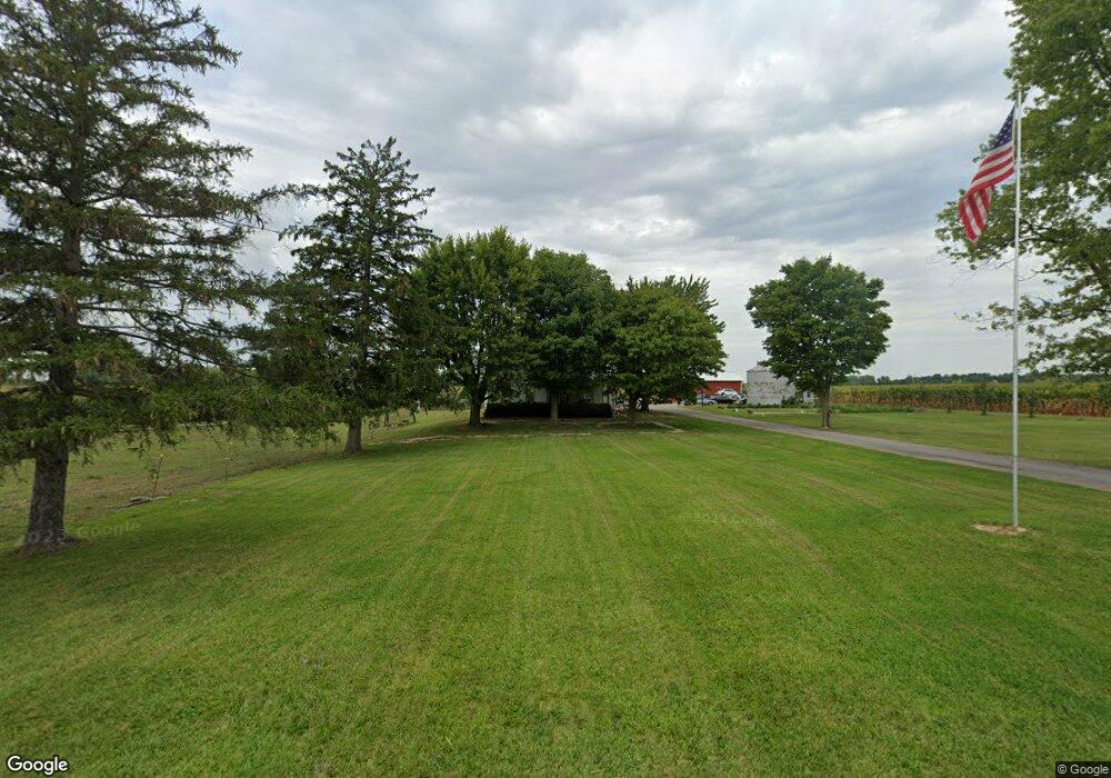
13030 State Highway 53 W Upper Sandusky, OH 43351
Estimated Value: $197,000 - $229,000
4
Beds
1
Bath
2,005
Sq Ft
$107/Sq Ft
Est. Value
About This Home
This home is located at 13030 State Highway 53 W, Upper Sandusky, OH 43351 and is currently estimated at $215,482, approximately $107 per square foot. 13030 State Highway 53 W is a home with nearby schools including Upper Sandusky High School.
Ownership History
Date
Name
Owned For
Owner Type
Purchase Details
Closed on
Mar 27, 2006
Sold by
Thiel Timothy J and Thiel Andrea M
Bought by
Thiel Brian E
Current Estimated Value
Home Financials for this Owner
Home Financials are based on the most recent Mortgage that was taken out on this home.
Original Mortgage
$76,000
Outstanding Balance
$42,761
Interest Rate
6%
Mortgage Type
Adjustable Rate Mortgage/ARM
Estimated Equity
$172,721
Create a Home Valuation Report for This Property
The Home Valuation Report is an in-depth analysis detailing your home's value as well as a comparison with similar homes in the area
Home Values in the Area
Average Home Value in this Area
Purchase History
| Date | Buyer | Sale Price | Title Company |
|---|---|---|---|
| Thiel Brian E | $95,000 | None Available |
Source: Public Records
Mortgage History
| Date | Status | Borrower | Loan Amount |
|---|---|---|---|
| Open | Thiel Brian E | $76,000 |
Source: Public Records
Tax History Compared to Growth
Tax History
| Year | Tax Paid | Tax Assessment Tax Assessment Total Assessment is a certain percentage of the fair market value that is determined by local assessors to be the total taxable value of land and additions on the property. | Land | Improvement |
|---|---|---|---|---|
| 2024 | $1,650 | $53,040 | $6,830 | $46,210 |
| 2023 | $1,650 | $53,040 | $6,830 | $46,210 |
| 2022 | $1,650 | $48,230 | $6,210 | $42,020 |
| 2021 | $1,568 | $48,230 | $6,210 | $42,020 |
| 2020 | $1,568 | $48,230 | $6,210 | $42,020 |
| 2019 | $1,565 | $48,230 | $6,210 | $42,020 |
| 2018 | $1,108 | $34,860 | $5,610 | $29,250 |
| 2017 | $1,126 | $34,860 | $5,610 | $29,250 |
| 2016 | $1,070 | $34,860 | $5,610 | $29,250 |
| 2015 | -- | $34,470 | $5,610 | $28,860 |
| 2014 | -- | $35,290 | $5,610 | $29,680 |
| 2013 | -- | $35,290 | $5,610 | $29,680 |
Source: Public Records
Map
Nearby Homes
- 11650 Township Highway 103
- 381 & 383 W Johnson St
- US 30 Sr 23
- 203 203 1/2 E Crawford St
- 221&221 1/2 S 7th St
- 0 State Highway 53 Unit 6132082
- 14319 County Highway 64
- 379 Spring St
- 225 S Hazel St
- 346 W Hicks St
- 602 S 7th St
- 326 S 8th St
- 386 W Finley St
- 454 N Sandusky Ave
- 430 S Sandusky Ave
- 137 N 8th St
- 903 N Warpole St
- 417 N 8th St
- 305 S 5th St
- 606 Polaris Dr
- 12825 State Highway 53 W
- 12802 State Highway 53 W
- 13433 State Highway 53 W
- 13438 State Highway 53 W
- 13463 State Highway 53 W
- 13539 State Highway 53 W
- 13567 State Highway 53 W
- 13728 State Highway 53 W
- 13742 State Hwy 53 W
- 13739 State Highway 53 W
- 13742 Ohio 53
- 12305 State Highway 53 W
- 12501 Township Highway 103
- 12419 Township Highway 103
- 13966 Ohio 53
- 13966 State Highway 53 W
- 13966 State Highway 53 W
- 12351 Township Highway 103
- 12782 County Highway 97
- 12742 County Highway 97