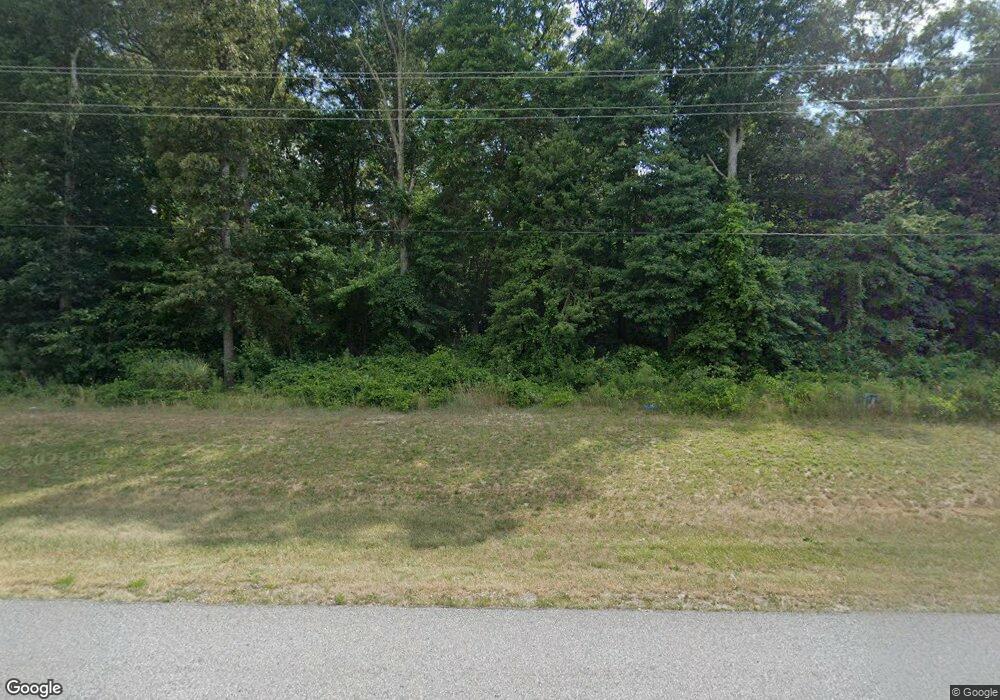
13032 Coastal Hwy Milton, DE 19968
Estimated Value: $459,000 - $561,000
3
Beds
--
Bath
1,560
Sq Ft
$322/Sq Ft
Est. Value
About This Home
This home is located at 13032 Coastal Hwy, Milton, DE 19968 and is currently estimated at $502,388, approximately $322 per square foot. 13032 Coastal Hwy is a home located in Sussex County with nearby schools including H.O. Brittingham Elementary School, Beacon Middle School, and Cape Henlopen High School.
Ownership History
Date
Name
Owned For
Owner Type
Purchase Details
Closed on
Jan 26, 2024
Sold by
Parker Timothy D and Parker Pamela L
Bought by
Parker Timothy D and Parker Pamela L
Current Estimated Value
Purchase Details
Closed on
Jun 23, 2017
Sold by
Voshhell Bonny M and Sammons Bonny Marie
Bought by
Parker Pamela L and Parker Timothy D
Home Financials for this Owner
Home Financials are based on the most recent Mortgage that was taken out on this home.
Original Mortgage
$228,000
Interest Rate
4.02%
Mortgage Type
Future Advance Clause Open End Mortgage
Purchase Details
Closed on
Sep 29, 2010
Bought by
Voshell Bonny M and Voshel Clarence E
Purchase Details
Closed on
Sep 22, 2010
Bought by
Voshell Bonny M and Voshel Clarence E
Create a Home Valuation Report for This Property
The Home Valuation Report is an in-depth analysis detailing your home's value as well as a comparison with similar homes in the area
Home Values in the Area
Average Home Value in this Area
Purchase History
| Date | Buyer | Sale Price | Title Company |
|---|---|---|---|
| Parker Timothy D | -- | None Listed On Document | |
| Parker Pamela L | $285,000 | None Available | |
| Voshell Bonny M | -- | -- | |
| Voshell Bonny M | -- | -- |
Source: Public Records
Mortgage History
| Date | Status | Borrower | Loan Amount |
|---|---|---|---|
| Previous Owner | Parker Pamela L | $228,000 |
Source: Public Records
Tax History Compared to Growth
Tax History
| Year | Tax Paid | Tax Assessment Tax Assessment Total Assessment is a certain percentage of the fair market value that is determined by local assessors to be the total taxable value of land and additions on the property. | Land | Improvement |
|---|---|---|---|---|
| 2025 | $924 | $29,250 | $4,900 | $24,350 |
| 2024 | $1,595 | $29,250 | $4,900 | $24,350 |
| 2023 | $1,593 | $29,250 | $4,900 | $24,350 |
| 2022 | $1,538 | $29,250 | $4,900 | $24,350 |
| 2021 | $1,377 | $29,250 | $4,900 | $24,350 |
| 2020 | $1,373 | $29,250 | $4,900 | $24,350 |
| 2019 | $1,375 | $29,250 | $4,900 | $24,350 |
| 2018 | $1,285 | $29,250 | $0 | $0 |
| 2017 | $1,230 | $29,250 | $0 | $0 |
| 2016 | $1,168 | $29,250 | $0 | $0 |
| 2015 | $1,116 | $29,250 | $0 | $0 |
| 2014 | $1,108 | $29,250 | $0 | $0 |
Source: Public Records
Map
Nearby Homes
- 26770 Deep Branch Rd
- 28007
- 28005 Tundra Drive - Lot #42
- 22557 Hartschorn Dr
- 27025 Whistling Duck Way
- 24031 W Cypress Way
- 28059 Broadkill Rd
- BRISTOL Plan at Woodfield Preserve
- AZALEA Plan at Woodfield Preserve
- COASTAL Plan at Woodfield Preserve
- DESTIN Plan at Woodfield Preserve
- GALVESTON Plan at Woodfield Preserve
- WHEATON Plan at Woodfield Preserve
- 24135 W Cypress Way
- 24143 W Cypress Way
- 15384 Crape Myrtle Rd
- 28289 Broadkill Rd
- 18326 White Cedar Ct
- 18107 White Cedar Ct
- 22 E Greenwing Dr
- 12984 Coastal Hwy
- 26802 Deep Branch Rd
- 0 Deep Branch Forest Sw Rd 234 Lot 3
- 26816 Deep Branch Rd
- 26836 Deep Branch Rd
- 26750 Deep Branch Rd
- 26805 Deep Branch Rd
- 12891 Coastal Hwy
- 26831 Deep Branch Rd
- 26462 Deep Branch Rd
- 26493 Zion Church Rd
- 12822 Coastal Hwy
- 13292 Jefferson Rd
- 13229 Coastal Hwy
- 26596 Zion Church Rd
- 12806 Coastal Hwy
- 26610 Zion Church Rd
- 13304 Jefferson Rd
- Lot #3 Deep Branch Rd
- 13247 Coastal Hwy
