13033 Deborah Ln SW Motley, MN 56466
Estimated Value: $235,000 - $307,000
2
Beds
2
Baths
1,008
Sq Ft
$253/Sq Ft
Est. Value
About This Home
This home is located at 13033 Deborah Ln SW, Motley, MN 56466 and is currently estimated at $255,353, approximately $253 per square foot. 13033 Deborah Ln SW is a home located in Cass County with nearby schools including Staples Motley Senior High School.
Ownership History
Date
Name
Owned For
Owner Type
Purchase Details
Closed on
Nov 13, 2020
Sold by
Blowers Brenda G
Bought by
Kadus Robert L and Kadus Michelle D
Current Estimated Value
Home Financials for this Owner
Home Financials are based on the most recent Mortgage that was taken out on this home.
Original Mortgage
$109,600
Outstanding Balance
$97,528
Interest Rate
2.8%
Mortgage Type
New Conventional
Estimated Equity
$157,825
Create a Home Valuation Report for This Property
The Home Valuation Report is an in-depth analysis detailing your home's value as well as a comparison with similar homes in the area
Home Values in the Area
Average Home Value in this Area
Purchase History
| Date | Buyer | Sale Price | Title Company |
|---|---|---|---|
| Kadus Robert L | $140,000 | None Available | |
| Kadus Robert Robert | $140,000 | -- |
Source: Public Records
Mortgage History
| Date | Status | Borrower | Loan Amount |
|---|---|---|---|
| Open | Kadus Robert L | $109,600 | |
| Closed | Kadus Robert Robert | $140,000 |
Source: Public Records
Tax History Compared to Growth
Tax History
| Year | Tax Paid | Tax Assessment Tax Assessment Total Assessment is a certain percentage of the fair market value that is determined by local assessors to be the total taxable value of land and additions on the property. | Land | Improvement |
|---|---|---|---|---|
| 2024 | $1,788 | $249,600 | $47,500 | $202,100 |
| 2023 | $2,524 | $325,300 | $100,800 | $224,500 |
| 2022 | $1,192 | $325,300 | $100,800 | $224,500 |
| 2021 | $934 | $111,700 | $70,100 | $41,600 |
| 2020 | $904 | $111,700 | $70,100 | $41,600 |
| 2019 | $900 | $123,900 | $87,900 | $36,000 |
| 2018 | $818 | $111,200 | $77,900 | $33,300 |
| 2017 | $634 | $111,200 | $77,900 | $33,300 |
| 2016 | $644 | $0 | $0 | $0 |
| 2015 | $644 | $101,800 | $67,900 | $33,900 |
| 2014 | $660 | $0 | $0 | $0 |
Source: Public Records
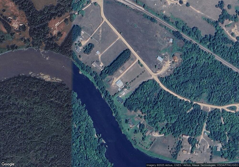
Map
Nearby Homes
- 12639 65th Ave SW
- TBD Azalea Rd
- 716 Cedar Ln
- 33916 Twin Oaks Loop
- XXX Aztec Rd
- 33395 464th St
- L5 B1 Ridge Rd
- L3 B2 Ridge Rd
- 4211 Crow Wing Cir SW
- TBD Gumwood Ln
- TBD Sherwood Dr SW
- Parcel D 112th St SW
- Parcel C 112th St SW
- Parcel B 112th St SW
- Parcel A 112th St SW
- 4209 State 210 SW
- 7765 120th St SW
- 12038 Spring Rd SW
- Parcel 9 Spring Rd
- TBD Pillager Creek Trail SW
- 13043 Deborah Ln SW
- 13021 13021 Deborah-Lane-sw
- 13021 Deborah Ln SW
- 13053 Deborah Ln SW
- 13011 Deborah Ln SW
- 13055 Deborah Ln SW
- 13042 Deborah Ln SW
- 13001 Deborah Ln SW
- 13059 Deborah Ln SW
- 12966 61st Ave SW
- 13079 Deborah Ln SW
- 12964 61st Ave SW
- 12964 61st Ave SW
- 6233 Sarah Dr SW
- 13093 Deborah Ln SW
- 13095 Deborah Ln SW
- 6261 Sarah Dr SW
- 12968 61st Ave SW
- 6243 Sarah Dr SW
- 13097 Deborah Ln SW