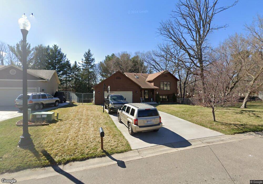
13036 Killdeer St NW Coon Rapids, MN 55448
Estimated Value: $377,000 - $410,000
4
Beds
2
Baths
1,096
Sq Ft
$358/Sq Ft
Est. Value
About This Home
This home is located at 13036 Killdeer St NW, Coon Rapids, MN 55448 and is currently estimated at $391,860, approximately $357 per square foot. 13036 Killdeer St NW is a home located in Anoka County with nearby schools including Lucile Bruner Elementary School, Morris Bye Elementary School, and Laughlin Junior/Senior High School.
Ownership History
Date
Name
Owned For
Owner Type
Purchase Details
Closed on
Jun 9, 2000
Sold by
Carlson Gordon E and Carlson Elsie E
Bought by
Thomas Wayne and Thomas Sa Kim
Current Estimated Value
Create a Home Valuation Report for This Property
The Home Valuation Report is an in-depth analysis detailing your home's value as well as a comparison with similar homes in the area
Home Values in the Area
Average Home Value in this Area
Purchase History
| Date | Buyer | Sale Price | Title Company |
|---|---|---|---|
| Thomas Wayne | $84,033 | -- | |
| Thomas Wayne | $158,900 | -- |
Source: Public Records
Mortgage History
| Date | Status | Borrower | Loan Amount |
|---|---|---|---|
| Closed | Thomas Wayne | -- | |
| Closed | Thomas Wayne | $65,800 |
Source: Public Records
Tax History Compared to Growth
Tax History
| Year | Tax Paid | Tax Assessment Tax Assessment Total Assessment is a certain percentage of the fair market value that is determined by local assessors to be the total taxable value of land and additions on the property. | Land | Improvement |
|---|---|---|---|---|
| 2025 | $3,639 | $342,900 | $94,500 | $248,400 |
| 2024 | $3,639 | $328,700 | $91,400 | $237,300 |
| 2023 | $3,429 | $320,200 | $75,600 | $244,600 |
| 2022 | $3,079 | $329,000 | $75,600 | $253,400 |
| 2021 | $2,989 | $264,100 | $58,800 | $205,300 |
| 2020 | $3,025 | $250,800 | $58,800 | $192,000 |
| 2019 | $2,928 | $243,900 | $58,800 | $185,100 |
| 2018 | $2,782 | $229,700 | $0 | $0 |
| 2017 | $2,288 | $212,300 | $0 | $0 |
| 2016 | $2,318 | $187,600 | $0 | $0 |
| 2015 | $2,262 | $187,600 | $52,500 | $135,100 |
| 2014 | -- | $156,100 | $37,200 | $118,900 |
Source: Public Records
Map
Nearby Homes
- 1687 131st Ln NW
- 1930 127th Cir NW
- 1776 133rd Ave NW
- 1520 129th Ave NW
- 12760 Raven St NW
- 12554 Grouse St NW
- 1593 126th Ln NW
- 12796 Bluebird St NW
- 13416 Swallow St NW
- 1450 126th Ln NW
- 2147 125th Ln NW
- 13519 Partridge Cir NW
- 12365 Jay St NW
- 2068 124th Ln NW
- 1625 124th Ave NW
- 1234 128th Cir NW
- 12463 Drake St NW
- 13182 Zion St NW
- 2270 137th Ln NW
- 1727 121st Ln NW
- 13022 Killdeer St NW
- 13075 Linnet St NW
- 13048 Killdeer St NW
- 13055 Linnet St NW
- 13008 Killdeer St NW
- 13025 Linnet St NW
- 13047 Killdeer St NW
- 1871 130th Ln NW
- 13023 Killdeer St NW
- 12975 Linnet St NW
- 13035 Killdeer St NW
- 12994 Killdeer St NW
- 13007 Killdeer St NW
- 1820 131st Ave NW
- 1834 131st Ave NW
- 12925 Linnet St NW
- 1885 130th Ln NW
- 1800 131st Ave NW
- 1854 131st Ave NW
- 12993 Killdeer St NW