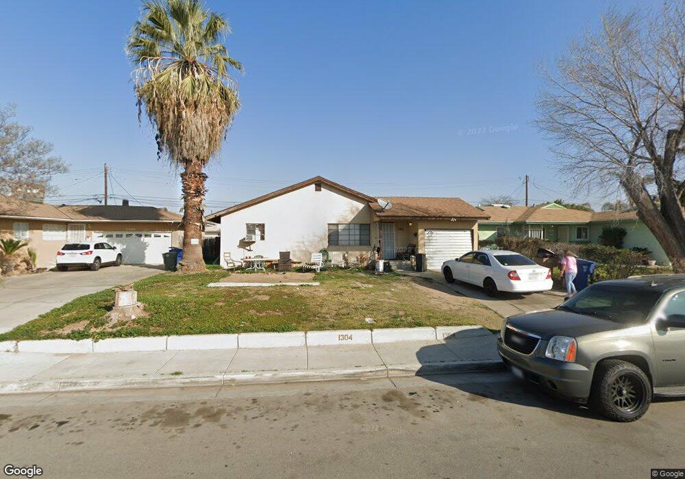
1304 Dorian Dr Bakersfield, CA 93304
Wible Orchard NeighborhoodEstimated Value: $208,000 - $291,000
2
Beds
1
Bath
892
Sq Ft
$280/Sq Ft
Est. Value
About This Home
This home is located at 1304 Dorian Dr, Bakersfield, CA 93304 and is currently estimated at $249,572, approximately $279 per square foot. 1304 Dorian Dr is a home located in Kern County with nearby schools including Frank West Elementary School, Curran Middle School, and South High School.
Ownership History
Date
Name
Owned For
Owner Type
Purchase Details
Closed on
Sep 9, 2016
Sold by
Ryan Joey
Bought by
Ryan Kristal L
Current Estimated Value
Purchase Details
Closed on
Sep 6, 2016
Sold by
Vanostrand Robert
Bought by
Ryan Kristal L
Purchase Details
Closed on
Aug 17, 1995
Sold by
Mydland Don Richard and Mydland Dolores Mae
Bought by
Vanostrand Robert
Home Financials for this Owner
Home Financials are based on the most recent Mortgage that was taken out on this home.
Original Mortgage
$45,000
Interest Rate
7.83%
Mortgage Type
Seller Take Back
Create a Home Valuation Report for This Property
The Home Valuation Report is an in-depth analysis detailing your home's value as well as a comparison with similar homes in the area
Home Values in the Area
Average Home Value in this Area
Purchase History
| Date | Buyer | Sale Price | Title Company |
|---|---|---|---|
| Ryan Kristal L | -- | Chicago Title Bakersfield | |
| Ryan Kristal L | -- | Chicago Title Bakersfield | |
| Vanostrand Robert | $50,000 | Nations Title |
Source: Public Records
Mortgage History
| Date | Status | Borrower | Loan Amount |
|---|---|---|---|
| Previous Owner | Vanostrand Robert | $45,000 |
Source: Public Records
Tax History
| Year | Tax Paid | Tax Assessment Tax Assessment Total Assessment is a certain percentage of the fair market value that is determined by local assessors to be the total taxable value of land and additions on the property. | Land | Improvement |
|---|---|---|---|---|
| 2025 | $2,033 | $114,891 | $23,209 | $91,682 |
| 2024 | $2,033 | $112,639 | $22,754 | $89,885 |
| 2023 | $1,986 | $110,431 | $22,308 | $88,123 |
| 2022 | $1,932 | $108,267 | $21,871 | $86,396 |
| 2021 | $1,828 | $106,145 | $21,443 | $84,702 |
| 2020 | $1,793 | $105,058 | $21,224 | $83,834 |
| 2019 | $1,758 | $105,058 | $21,224 | $83,834 |
| 2018 | $1,720 | $100,980 | $20,400 | $80,580 |
| 2017 | $1,708 | $99,000 | $20,000 | $79,000 |
| 2016 | $1,202 | $70,146 | $25,250 | $44,896 |
| 2015 | $1,165 | $67,000 | $17,000 | $50,000 |
| 2014 | $1,142 | $67,000 | $17,000 | $50,000 |
Source: Public Records
Map
Nearby Homes
- 1312 Dorian Dr
- 1208 Lindsay Dr
- 2709 Laurel Dr
- 2323 S J St
- 1605 Sidney Dr
- 2222 S Chester Ave
- 935 Sylvia Dr
- 2120 S M St
- 2709 Lee Dr
- 3204 S I St
- 1016 Meredith Dr
- 1108 Southgate Dr
- 1410 Southgate Dr
- 2612 Lee Dr
- 2909 S Chester Ave
- 443 Myrtle St
- 2701 Houchin Rd
- 1804 Le May Ave
- 1512 Southgate Dr
- 1916 Wilson Rd
- 1300 Dorian Dr
- 1308 Dorian Dr
- 1305 Antonia Way
- 1220 Dorian Dr
- 1301 Antonia Way
- 1309 Antonia Way
- 1313 Antonia Way
- 1221 Antonia Way
- 1305 Dorian Dr
- 2616 S K St
- 1216 Dorian Dr
- 1309 Dorian Dr
- 1301 Dorian Dr
- 1313 Dorian Dr Unit 1
- 1313 Dorian Dr
- 1217 Antonia Way
- 2600 S K St
- 1221 Dorian Dr
- 1212 Dorian Dr
- 1317 Dorian Dr
Your Personal Tour Guide
Ask me questions while you tour the home.