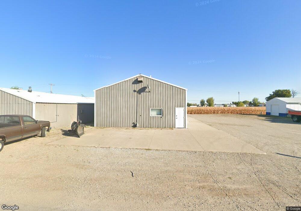
1304 S Taft Ave Mason City, IA 50401
Estimated Value: $183,839
--
Bed
--
Bath
3,160
Sq Ft
$58/Sq Ft
Est. Value
About This Home
This home is located at 1304 S Taft Ave, Mason City, IA 50401 and is currently estimated at $183,839, approximately $58 per square foot. 1304 S Taft Ave is a home located in Cerro Gordo County with nearby schools including Mason City High School, Newman Catholic School, and Newman Catholic Elementary School.
Ownership History
Date
Name
Owned For
Owner Type
Purchase Details
Closed on
Apr 16, 2025
Sold by
Weiner Steven J and Weiner Jill A
Bought by
Weiner Family Farms Llc
Current Estimated Value
Purchase Details
Closed on
Jun 29, 2016
Sold by
Gibson Dale A and Gibson Kim N
Bought by
Weiner Steven J and Weiner Jill A
Purchase Details
Closed on
Nov 30, 2001
Sold by
Burt Charles E and Burt Rosemary
Bought by
Elwood Zelda M
Create a Home Valuation Report for This Property
The Home Valuation Report is an in-depth analysis detailing your home's value as well as a comparison with similar homes in the area
Home Values in the Area
Average Home Value in this Area
Purchase History
| Date | Buyer | Sale Price | Title Company |
|---|---|---|---|
| Weiner Family Farms Llc | -- | None Listed On Document | |
| Weiner Steven J | -- | None Available | |
| Weiner Steven J | -- | None Available | |
| Elwood Zelda M | $57,500 | None Available |
Source: Public Records
Tax History Compared to Growth
Tax History
| Year | Tax Paid | Tax Assessment Tax Assessment Total Assessment is a certain percentage of the fair market value that is determined by local assessors to be the total taxable value of land and additions on the property. | Land | Improvement |
|---|---|---|---|---|
| 2024 | $1,706 | $106,580 | $36,120 | $70,460 |
| 2023 | $1,852 | $106,580 | $36,120 | $70,460 |
| 2022 | $1,904 | $93,600 | $27,880 | $65,720 |
| 2021 | $2,006 | $92,550 | $27,880 | $64,670 |
| 2020 | $3,201 | $92,550 | $27,880 | $64,670 |
| 2019 | $1,918 | $0 | $0 | $0 |
| 2018 | $1,878 | $0 | $0 | $0 |
| 2017 | $2,270 | $0 | $0 | $0 |
| 2016 | $1,980 | $0 | $0 | $0 |
| 2015 | $1,980 | $0 | $0 | $0 |
| 2014 | $1,960 | $0 | $0 | $0 |
| 2013 | $2,040 | $0 | $0 | $0 |
Source: Public Records
Map
Nearby Homes
- 2955 9th St SW
- 2779 17th St SW
- 1000 Briarstone Dr
- 925 Briarstone Dr
- 71 Briarstone Ct Unit B-6
- 2107 Springview Dr
- 2708 19th St SW
- 3041 4th St SW
- 740 Briarstone Dr
- 660 Briarstone Dr
- 900 Knollwood Ln
- 2007 Augusta Dr
- Lot 8 Westgate Business Park
- 600 Briarstone Dr Unit A-3
- 667 Briarstone Dr Unit 1, Garage 7
- 2033 Augusta Dr
- 2103 Augusta Dr
- 1839 Springview Dr
- 3253 Pinnacle Ct
- 2348 Calloway Ct
- 1306 S Taft Ave
- 1306 1/2 S Taft Ave
- 1405 S Taft Ave
- 1403 S Taft Ave
- 1308 S Taft Ave
- 1226 S Taft Ave
- 1310 S Taft Ave
- 1412 S Wilson Ave
- 1200 S Taft Ave
- 1409 S Taft Ave
- 1409 S Taft Ave Unit AKA- 1409 Commercial
- 1413 S Harding Ave
- 1414 S Wilson Ave
- 1312 S Taft Ave
- 960 S Taft Ave
- 1413 S Wilson Ave
- 1417 S Harding Ave
- 1430 S Wilson Ave
- 1312 1/2 S Taft Ave
- 1418 S Harding Ave