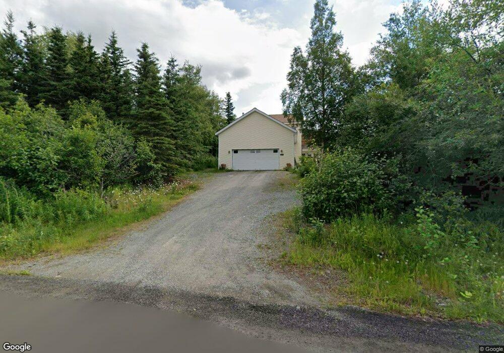
13045 Patrick Rd Anchorage, AK 99516
Hillside East NeighborhoodEstimated Value: $577,000 - $722,000
3
Beds
3
Baths
2,238
Sq Ft
$302/Sq Ft
Est. Value
About This Home
This home is located at 13045 Patrick Rd, Anchorage, AK 99516 and is currently estimated at $676,056, approximately $302 per square foot. 13045 Patrick Rd is a home located in Anchorage Municipality with nearby schools including Bear Valley Elementary School, Goldenview Middle School, and South Anchorage High School.
Ownership History
Date
Name
Owned For
Owner Type
Purchase Details
Closed on
Apr 12, 2001
Sold by
Butcher Helen A
Bought by
Bradshaw Kory W and Bradshaw Caroline
Current Estimated Value
Home Financials for this Owner
Home Financials are based on the most recent Mortgage that was taken out on this home.
Original Mortgage
$35,625
Interest Rate
7.09%
Mortgage Type
Purchase Money Mortgage
Create a Home Valuation Report for This Property
The Home Valuation Report is an in-depth analysis detailing your home's value as well as a comparison with similar homes in the area
Home Values in the Area
Average Home Value in this Area
Purchase History
| Date | Buyer | Sale Price | Title Company |
|---|---|---|---|
| Bradshaw Kory W | -- | -- | |
| Bradshaw Kory W | -- | -- |
Source: Public Records
Mortgage History
| Date | Status | Borrower | Loan Amount |
|---|---|---|---|
| Closed | Bradshaw Kory W | $35,625 |
Source: Public Records
Tax History Compared to Growth
Tax History
| Year | Tax Paid | Tax Assessment Tax Assessment Total Assessment is a certain percentage of the fair market value that is determined by local assessors to be the total taxable value of land and additions on the property. | Land | Improvement |
|---|---|---|---|---|
| 2025 | $7,744 | $596,300 | $163,100 | $433,200 |
| 2024 | $7,744 | $549,100 | $154,300 | $394,800 |
| 2023 | $8,433 | $499,000 | $147,700 | $351,300 |
| 2022 | $7,473 | $488,300 | $147,700 | $340,600 |
| 2021 | $7,795 | $427,800 | $147,700 | $280,100 |
| 2020 | $6,317 | $422,500 | $147,700 | $274,800 |
| 2019 | $6,217 | $426,800 | $147,700 | $279,100 |
| 2018 | $6,002 | $414,000 | $150,600 | $263,400 |
| 2017 | $6,397 | $415,100 | $143,700 | $271,400 |
| 2016 | $5,703 | $446,000 | $143,700 | $302,300 |
| 2015 | $5,703 | $442,600 | $157,900 | $284,700 |
| 2014 | $5,703 | $413,800 | $157,900 | $255,900 |
Source: Public Records
Map
Nearby Homes
- 12801 Midori Dr
- 000 de Palatis Cir
- 12855 Ginami St
- 6820 Gunnison Dr
- L7 Canyon Rd
- 13764 Canyon Rd
- L1 B1 E Klatt Rd
- 13851 Canyon Rd
- 14115 Canyon Rd
- 11440 Doggie Ave
- 12650 Glen Alps Rd
- 12660 Glen Alps Rd
- 11831 Moose Rd
- 14351 Equestrian Cir
- 14474 Rockingham Cir
- L2A Snow Flake Dr
- 14170 Golden View Dr
- L5 Snow Flake Cir
- 10640 Stroganof Dr
- 6815 Double Tree Ct
- 13001 Patrick Rd
- 13145 Patrick Rd
- LOT3 Patrick Rd
- 8234 E 130th Ave
- 000 Patrick Rd
- 8320 E 130th Ave
- 8101 Upper de Armoun Rd
- 12911 Patrick Rd
- 13000 Patrick Rd
- 13000 Michael Rd
- 13160 Michael Rd
- 7901 Upper de Armoun Rd
- 12940 Michael Rd
- 129400 Michael Rd
- 12921 Patrick Rd
- 8000 Upper de Armoun Rd
- 7940 Upper de Armoun Rd
- 12907 Patrick Rd
- 13230 Messina
- 8120 Upper de Armoun Rd
