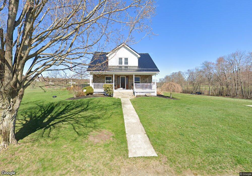
13046 Lower Maple Dr Clarks Summit, PA 18411
Estimated Value: $73,845 - $549,000
--
Bed
--
Bath
--
Sq Ft
3
Acres
About This Home
This home is located at 13046 Lower Maple Dr, Clarks Summit, PA 18411 and is currently estimated at $379,461. 13046 Lower Maple Dr is a home with nearby schools including Abington Heights High School.
Ownership History
Date
Name
Owned For
Owner Type
Purchase Details
Closed on
Feb 4, 2016
Sold by
Miller Charles D and Miller Brenda
Bought by
Staclia Michael and Stalica Leslie
Current Estimated Value
Purchase Details
Closed on
Jul 22, 2015
Sold by
Miller Charles D and Miller Brenda
Bought by
Miller Charles Brian
Home Financials for this Owner
Home Financials are based on the most recent Mortgage that was taken out on this home.
Original Mortgage
$418,000
Interest Rate
4.01%
Mortgage Type
New Conventional
Purchase Details
Closed on
Mar 10, 2000
Bought by
Miller Charles D
Create a Home Valuation Report for This Property
The Home Valuation Report is an in-depth analysis detailing your home's value as well as a comparison with similar homes in the area
Home Values in the Area
Average Home Value in this Area
Purchase History
| Date | Buyer | Sale Price | Title Company |
|---|---|---|---|
| Staclia Michael | -- | None Available | |
| Miller Charles Brian | -- | None Available | |
| Miller Charles D | -- | -- |
Source: Public Records
Mortgage History
| Date | Status | Borrower | Loan Amount |
|---|---|---|---|
| Previous Owner | Miller Charles Brian | $418,000 |
Source: Public Records
Tax History Compared to Growth
Tax History
| Year | Tax Paid | Tax Assessment Tax Assessment Total Assessment is a certain percentage of the fair market value that is determined by local assessors to be the total taxable value of land and additions on the property. | Land | Improvement |
|---|---|---|---|---|
| 2025 | $5,035 | $20,685 | $4,685 | $16,000 |
| 2024 | $4,158 | $20,685 | $4,685 | $16,000 |
| 2023 | $4,158 | $20,685 | $4,685 | $16,000 |
| 2022 | $4,071 | $20,685 | $4,685 | $16,000 |
| 2021 | $4,071 | $20,685 | $4,685 | $16,000 |
| 2020 | $4,071 | $20,685 | $4,685 | $16,000 |
| 2019 | $3,937 | $20,685 | $4,685 | $16,000 |
| 2018 | $3,901 | $20,685 | $4,685 | $16,000 |
| 2017 | $3,880 | $20,685 | $4,685 | $16,000 |
| 2016 | $2,361 | $20,685 | $4,685 | $16,000 |
| 2015 | -- | $20,685 | $4,685 | $16,000 |
| 2014 | -- | $20,685 | $4,685 | $16,000 |
Source: Public Records
Map
Nearby Homes
- 0 Milwaukee Rd Unit GSBSC254290
- 1932 Newton Ransom Blvd
- 2441 Milwaukee Rd
- 1736 Falls Rd
- 0 Blvd
- 2225 Cherry Hill Rd
- 10 Bald Mt Rd
- 1502 Forest Acres Dr
- 2500 Falls Rd
- 9119 Valley View Dr
- 52 Ivywood Dr Unit L 6
- 162 Highland Rd
- 1215 Country Club Rd
- 9109 Valley View Dr
- 2694 Ransom Rd
- 2352 Newton Ransom Blvd
- 83 Hedge Row Run
- 2923 Frink St
- 2356 Newton Ransom Blvd
- 105 Fern Way
- 13026 Lower Maple Dr
- 0 Milwaukee Rd Unit GSB174567
- 0 Milwaukee Rd Unit GSB071601
- 0 Milwaukee Rd
- 0 Lower Maple Dr
- 13057 Lower Maple Dr
- 13057 Maple Dr
- 1316 School St
- 1314 School St
- 13028 Maple Dr
- 1310 School St
- 1313 School St
- 1315 School St
- 13024 Maple Dr
- 13024 Lower Maple Dr
- 1308 School St
- 1309 School St
- 13070 Maple Dr
- 1307 School St
- 1306 School St