13046 Smack Dr Seaford, DE 19973
Estimated Value: $303,000 - $438,000
3
Beds
--
Bath
1,836
Sq Ft
$195/Sq Ft
Est. Value
About This Home
This home is located at 13046 Smack Dr, Seaford, DE 19973 and is currently estimated at $358,147, approximately $195 per square foot. 13046 Smack Dr is a home with nearby schools including Seaford Central Elementary School, Frederick Douglass Elementary School, and Seaford Middle School.
Ownership History
Date
Name
Owned For
Owner Type
Purchase Details
Closed on
Aug 30, 2018
Sold by
Cannon Shirlanda M
Bought by
Canno-Bell Shirretha D
Current Estimated Value
Purchase Details
Closed on
Dec 29, 1994
Bought by
Cannon Shirlanda M
Create a Home Valuation Report for This Property
The Home Valuation Report is an in-depth analysis detailing your home's value as well as a comparison with similar homes in the area
Home Values in the Area
Average Home Value in this Area
Purchase History
| Date | Buyer | Sale Price | Title Company |
|---|---|---|---|
| Canno-Bell Shirretha D | -- | -- | |
| Cannon Shirlanda M | -- | -- |
Source: Public Records
Tax History Compared to Growth
Tax History
| Year | Tax Paid | Tax Assessment Tax Assessment Total Assessment is a certain percentage of the fair market value that is determined by local assessors to be the total taxable value of land and additions on the property. | Land | Improvement |
|---|---|---|---|---|
| 2025 | $684 | $500 | $500 | $0 |
| 2024 | $698 | $500 | $500 | $0 |
| 2023 | $697 | $500 | $500 | $0 |
| 2022 | $680 | $500 | $500 | $0 |
| 2021 | $682 | $500 | $500 | $0 |
| 2020 | $740 | $500 | $500 | $0 |
| 2019 | $648 | $500 | $500 | $0 |
| 2018 | $23 | $500 | $0 | $0 |
| 2017 | $21 | $500 | $0 | $0 |
| 2016 | $21 | $500 | $0 | $0 |
| 2015 | $21 | $500 | $0 | $0 |
| 2014 | $20 | $500 | $0 | $0 |
Source: Public Records
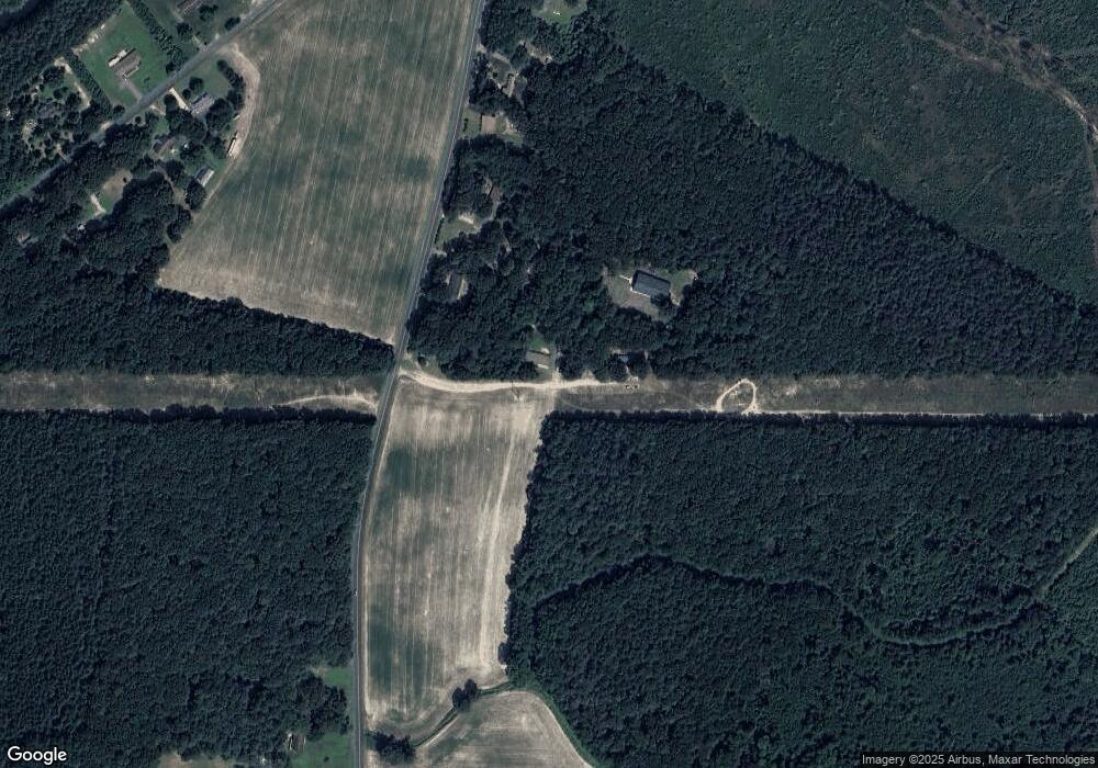
Map
Nearby Homes
- 10883 Old Furnace Rd
- 11507 Ashwood Way
- 23448 Ponderosa Dr
- 12455 Old Furnace Rd
- 10057 Middleford Rd
- 22755 Concord Pond Rd
- 10469 Anna Patrick Ln
- 0 Wilkinson Dr Unit DESU2073540
- 23574 Rt 535
- 129 Village Dr
- 21572 Mill Park Dr
- 29 Hidden Hills Dr
- 10160 Del Valle Rd
- 24247 Old Meadow Rd
- 111 Surrey Dr
- 10142 Main St
- 21831 Mill Park Dr
- 10092 Fay Ave
- 21952 Palomino Way
- 22250 Hollyview Ct
- 22625 Coverdale Rd
- B Coverdale Rd
- A Coverdale Rd
- B Coverdale Rd Unit B
- A Coverdale Rd Unit A
- 22579 Coverdale Rd
- 22559 Coverdale Rd
- 6 Nicole Way
- 22519 Coverdale Rd
- 22738 Coverdale Rd
- 11441 Hastings Farm Rd
- 11163 Old Furnace Rd
- 11403 Hastings Farm Rd
- 22776 Coverdale Rd
- 11568 Hastings Farm Rd
- 11559 Hastings Farm Rd
- 12031 Old Furnace Rd
- 12021 Old Furnace Rd
- 12033 Old Furnace Rd