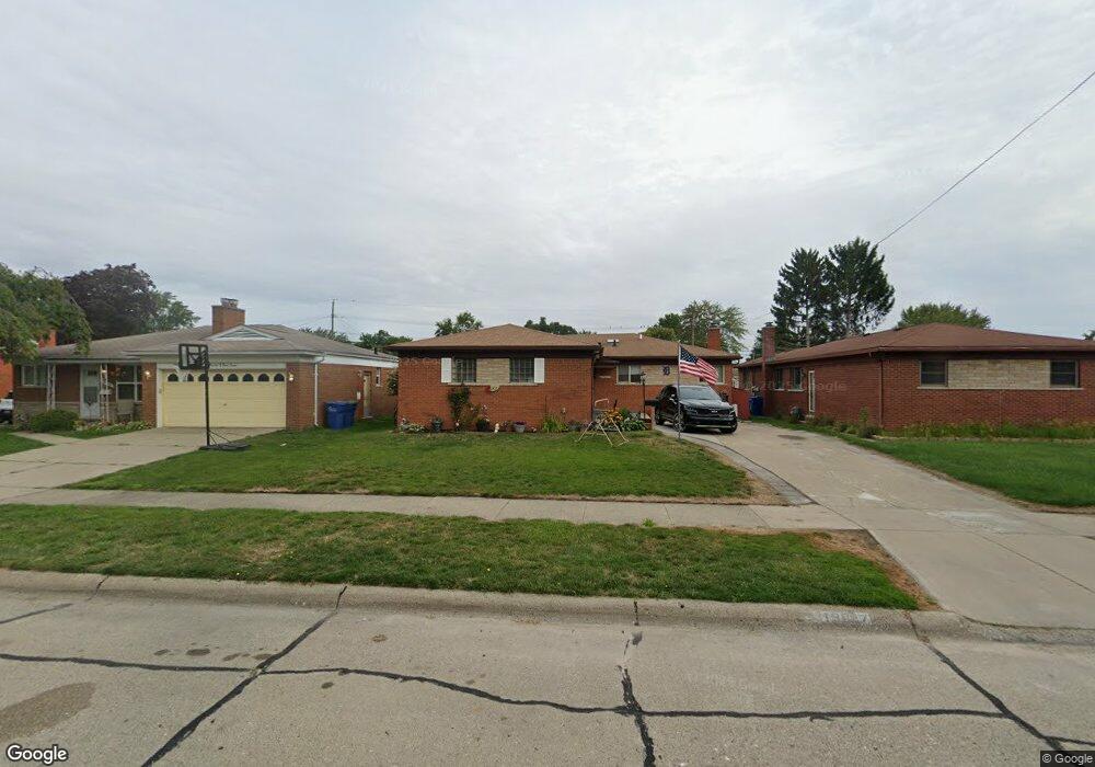
13047 Champaign Ave Warren, MI 48089
Southeast Warren NeighborhoodEstimated Value: $239,000 - $251,000
3
Beds
2
Baths
1,347
Sq Ft
$183/Sq Ft
Est. Value
About This Home
This home is located at 13047 Champaign Ave, Warren, MI 48089 and is currently estimated at $246,196, approximately $182 per square foot. 13047 Champaign Ave is a home located in Macomb County with nearby schools including Warren Woods Tower High School.
Ownership History
Date
Name
Owned For
Owner Type
Purchase Details
Closed on
Mar 28, 2018
Sold by
Smith Danielle Satterfield
Bought by
Mcconnell Jeffrey L and Mcconnell Janice L
Current Estimated Value
Home Financials for this Owner
Home Financials are based on the most recent Mortgage that was taken out on this home.
Original Mortgage
$126,661
Outstanding Balance
$108,901
Interest Rate
4.43%
Mortgage Type
FHA
Estimated Equity
$137,295
Purchase Details
Closed on
Dec 7, 2010
Sold by
Satterfield David B and Satterfield Antoinette
Bought by
Satterfield David B and English Monica
Create a Home Valuation Report for This Property
The Home Valuation Report is an in-depth analysis detailing your home's value as well as a comparison with similar homes in the area
Home Values in the Area
Average Home Value in this Area
Purchase History
| Date | Buyer | Sale Price | Title Company |
|---|---|---|---|
| Mcconnell Jeffrey L | $130,000 | Points Title Agency | |
| Satterfield David B | -- | None Available |
Source: Public Records
Mortgage History
| Date | Status | Borrower | Loan Amount |
|---|---|---|---|
| Open | Mcconnell Jeffrey L | $126,661 |
Source: Public Records
Tax History Compared to Growth
Tax History
| Year | Tax Paid | Tax Assessment Tax Assessment Total Assessment is a certain percentage of the fair market value that is determined by local assessors to be the total taxable value of land and additions on the property. | Land | Improvement |
|---|---|---|---|---|
| 2025 | $4,257 | $111,700 | $0 | $0 |
| 2024 | $4,136 | $98,760 | $0 | $0 |
| 2023 | $3,908 | $89,600 | $0 | $0 |
| 2022 | $3,832 | $80,500 | $0 | $0 |
| 2021 | $3,760 | $76,910 | $0 | $0 |
| 2020 | $3,603 | $72,080 | $0 | $0 |
| 2019 | $3,443 | $67,340 | $0 | $0 |
| 2018 | $2,289 | $52,250 | $0 | $0 |
| 2017 | $2,926 | $49,160 | $5,800 | $43,360 |
| 2016 | $2,907 | $49,160 | $0 | $0 |
| 2015 | -- | $45,190 | $0 | $0 |
| 2012 | -- | $42,220 | $0 | $0 |
Source: Public Records
Map
Nearby Homes
- 13144 Stamford Ave
- 26515 Newport Ave
- 13171 Burgundy Ave
- 13194 Burgundy Ave
- 13203 Frazho Rd
- 26640 Schoenherr Rd
- 13696 Harthill Ave
- 26443 Marilyn Ave
- 26552 Wagner Ave
- 12291 E 11 Mile Rd
- 25653 Palomino Ave
- 0000 Frazho Rd
- 12922 Heritage S Unit 54
- 13653 Brainbridge Ave
- 13429 Zagaiski Ave
- 11927 Stamford Ave
- 11920 Carney St
- 13342 De Mott Dr
- 27226 Bradner Dr
- 27529 Roan Dr
- 13059 Champaign Ave
- 13037 Champaign Ave
- 13069 Champaign Ave
- 13025 Champaign Ave
- 13054 Stamford Ave
- 13066 Stamford Ave
- 13042 Stamford Ave
- 13105 Champaign Ave
- 13015 Champaign Ave
- 13108 Stamford Ave
- 13030 Stamford Ave
- 13044 Champaign Ave
- 13034 Champaign Ave
- 13120 Stamford Ave
- 13018 Stamford Ave
- 13066 Champaign Ave
- 13003 Champaign Ave
- 13115 Champaign Ave
- 26352 Dover Ave
- 13102 Champaign Ave