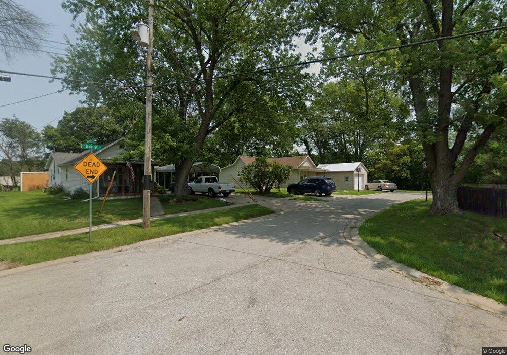
1305 Dale St Muscatine, IA 52761
Estimated Value: $94,000 - $136,000
2
Beds
1
Bath
918
Sq Ft
$119/Sq Ft
Est. Value
About This Home
This home is located at 1305 Dale St, Muscatine, IA 52761 and is currently estimated at $109,187, approximately $118 per square foot. 1305 Dale St is a home located in Muscatine County with nearby schools including Jefferson Elementary School, Central Middle School, and Muscatine High School.
Ownership History
Date
Name
Owned For
Owner Type
Purchase Details
Closed on
Mar 19, 2010
Sold by
Freers Investments
Bought by
Hanssen Carrie
Current Estimated Value
Home Financials for this Owner
Home Financials are based on the most recent Mortgage that was taken out on this home.
Original Mortgage
$30,000
Outstanding Balance
$19,923
Interest Rate
5.02%
Mortgage Type
Future Advance Clause Open End Mortgage
Estimated Equity
$89,264
Purchase Details
Closed on
Mar 5, 2010
Sold by
Estate Of Elsie A Tobias
Bought by
Freers Investments
Home Financials for this Owner
Home Financials are based on the most recent Mortgage that was taken out on this home.
Original Mortgage
$30,000
Outstanding Balance
$19,923
Interest Rate
5.02%
Mortgage Type
Future Advance Clause Open End Mortgage
Estimated Equity
$89,264
Create a Home Valuation Report for This Property
The Home Valuation Report is an in-depth analysis detailing your home's value as well as a comparison with similar homes in the area
Home Values in the Area
Average Home Value in this Area
Purchase History
| Date | Buyer | Sale Price | Title Company |
|---|---|---|---|
| Hanssen Carrie | $21,000 | None Available | |
| Freers Investments | $14,000 | -- |
Source: Public Records
Mortgage History
| Date | Status | Borrower | Loan Amount |
|---|---|---|---|
| Open | Freers Investments | $30,000 |
Source: Public Records
Tax History Compared to Growth
Tax History
| Year | Tax Paid | Tax Assessment Tax Assessment Total Assessment is a certain percentage of the fair market value that is determined by local assessors to be the total taxable value of land and additions on the property. | Land | Improvement |
|---|---|---|---|---|
| 2025 | $1,432 | $79,490 | $13,110 | $66,380 |
| 2024 | $1,432 | $79,000 | $13,110 | $65,890 |
| 2023 | $1,346 | $77,380 | $13,123 | $64,257 |
| 2022 | $1,318 | $66,740 | $12,380 | $54,360 |
| 2021 | $1,318 | $64,610 | $12,380 | $52,230 |
| 2020 | $1,122 | $57,430 | $9,220 | $48,210 |
| 2019 | $1,150 | $52,080 | $0 | $0 |
| 2018 | $644 | $29,550 | $0 | $0 |
| 2017 | $644 | $28,940 | $0 | $0 |
| 2016 | $654 | $28,940 | $0 | $0 |
| 2015 | $654 | $29,870 | $0 | $0 |
| 2014 | $680 | $29,870 | $0 | $0 |
Source: Public Records
Map
Nearby Homes
- 0 Fillmore St Parcel
- 1010 Lombard St
- 1103 E 8th St
- 1005 Cypress St
- 901 E 11th St
- 318 Monroe St
- 630 Jackson St
- 610 Jackson St
- 514 Jackson St
- 416 Jackson St
- 811 Hershey Ct
- 1017 Oak St
- 898 Leroy St
- 1414 Lincoln Blvd
- 1416 Lincoln Blvd
- 1012 Orange St
- 517 E 8th St
- 140 Sheridan St
- 518 E 7th St
- 1554 Washington St