Estimated Value: $206,000 - $269,783
3
Beds
2
Baths
1,400
Sq Ft
$171/Sq Ft
Est. Value
About This Home
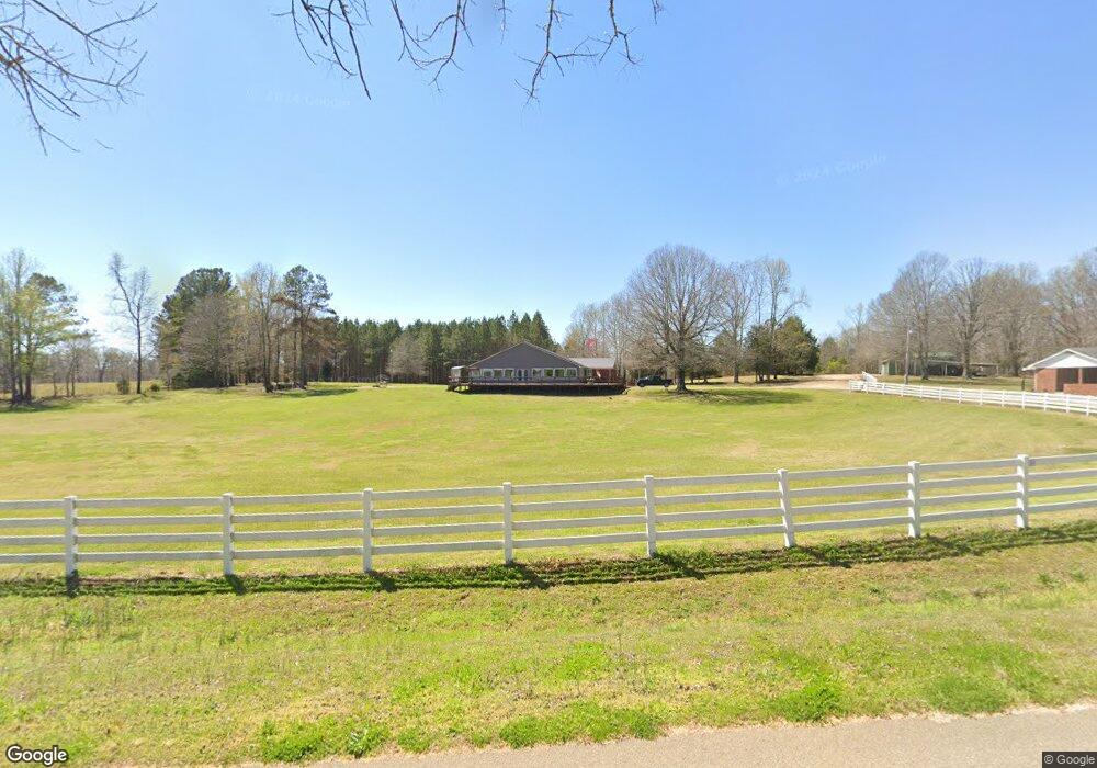
This home is located at 1305 Huron Rd, Huron, TN 38345 and is currently estimated at $239,594, approximately $171 per square foot. 1305 Huron Rd is a home located in Henderson County.
Ownership History
Date
Name
Owned For
Owner Type
Purchase Details
Closed on
Nov 22, 2013
Sold by
Weatherford Robby Gene Tru
Bought by
Lloyd Russell A and Lloyd Ameneh K
Current Estimated Value
Home Financials for this Owner
Home Financials are based on the most recent Mortgage that was taken out on this home.
Original Mortgage
$66,400
Outstanding Balance
$49,380
Interest Rate
4.16%
Mortgage Type
Commercial
Estimated Equity
$190,214
Purchase Details
Closed on
May 24, 2012
Sold by
Odell Dorris J
Bought by
Weatherford Robby Gene and Odell Dorris Jean Irrevocabl
Purchase Details
Closed on
May 4, 2012
Sold by
Odell Thomas O
Bought by
Odell Dorris J
Create a Home Valuation Report for This Property
The Home Valuation Report is an in-depth analysis detailing your home's value as well as a comparison with similar homes in the area
Purchase History
| Date | Buyer | Sale Price | Title Company |
|---|---|---|---|
| Lloyd Russell A | $83,000 | -- | |
| Weatherford Robby Gene | -- | -- | |
| Odell Dorris J | -- | -- |
Source: Public Records
Mortgage History
| Date | Status | Borrower | Loan Amount |
|---|---|---|---|
| Open | Lloyd Russell A | $66,400 |
Source: Public Records
Tax History
| Year | Tax Paid | Tax Assessment Tax Assessment Total Assessment is a certain percentage of the fair market value that is determined by local assessors to be the total taxable value of land and additions on the property. | Land | Improvement |
|---|---|---|---|---|
| 2025 | $1,465 | $92,600 | $5,750 | $86,850 |
| 2024 | $648 | $40,950 | $5,750 | $35,200 |
| 2023 | $648 | $40,950 | $5,750 | $35,200 |
| 2022 | $492 | $20,775 | $3,300 | $17,475 |
| 2021 | $492 | $20,775 | $3,300 | $17,475 |
| 2020 | $492 | $20,775 | $3,300 | $17,475 |
| 2019 | $492 | $20,775 | $3,300 | $17,475 |
| 2018 | $453 | $19,850 | $3,300 | $16,550 |
| 2017 | $453 | $19,850 | $3,300 | $16,550 |
| 2016 | $490 | $20,625 | $3,300 | $17,325 |
| 2015 | $490 | $20,625 | $3,300 | $17,325 |
| 2014 | $490 | $20,607 | $0 | $0 |
Source: Public Records
Map
Nearby Homes
- 1865 Highway 200
- 0 Tennessee 200
- 0 Mills Darden Rd
- 455 Mills Darden Rd
- 1059 Pollock Rd
- 235 Mallard Ln
- 5035 Tennessee 200
- 0 Branch Creek Rd Unit 284
- 0 Branch Creek Rd Unit 1335279
- 5407 Highway 200
- 900 Hubberd Town Rd
- 000 Moonshine Loop
- 00 Moonshine Loop
- 00 Moonshine Loop
- 000 Sand Ridge Rd
- 00 Cider Way
- 000 Moonshine Rd
- 0 Cider Way
- 715 Roundtree Ln
- 3011 Crucifer Rd
Your Personal Tour Guide
Ask me questions while you tour the home.