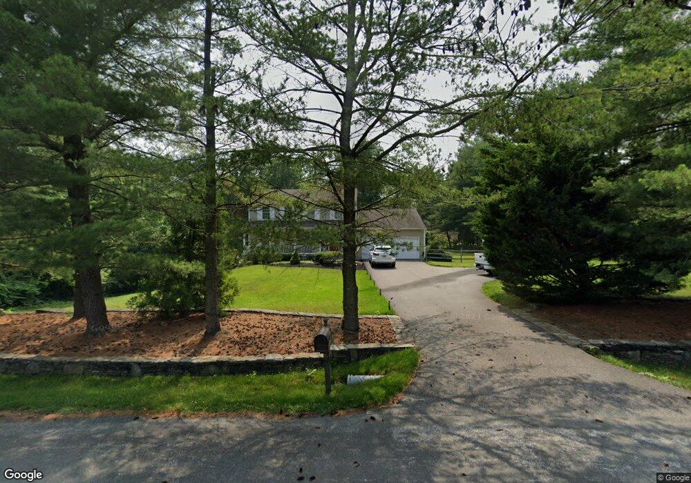
1306 Jones Station Rd Arnold, MD 21012
Estimated Value: $719,000 - $855,000
--
Bed
3
Baths
2,570
Sq Ft
$304/Sq Ft
Est. Value
About This Home
This home is located at 1306 Jones Station Rd, Arnold, MD 21012 and is currently estimated at $779,996, approximately $303 per square foot. 1306 Jones Station Rd is a home located in Anne Arundel County with nearby schools including Arnold Elementary School, Severn River Middle School, and Broadneck High School.
Ownership History
Date
Name
Owned For
Owner Type
Purchase Details
Closed on
Jul 17, 1997
Sold by
Linderman Gregory A
Bought by
Conrad Donald R and Conrad Jacqueline A
Current Estimated Value
Purchase Details
Closed on
Jul 11, 1990
Sold by
Moran Frank G
Bought by
Linderman Gregory A
Home Financials for this Owner
Home Financials are based on the most recent Mortgage that was taken out on this home.
Original Mortgage
$156,000
Interest Rate
10.06%
Create a Home Valuation Report for This Property
The Home Valuation Report is an in-depth analysis detailing your home's value as well as a comparison with similar homes in the area
Home Values in the Area
Average Home Value in this Area
Purchase History
| Date | Buyer | Sale Price | Title Company |
|---|---|---|---|
| Conrad Donald R | $243,500 | -- | |
| Linderman Gregory A | $208,000 | -- |
Source: Public Records
Mortgage History
| Date | Status | Borrower | Loan Amount |
|---|---|---|---|
| Previous Owner | Linderman Gregory A | $156,000 | |
| Closed | Conrad Donald R | -- |
Source: Public Records
Tax History Compared to Growth
Tax History
| Year | Tax Paid | Tax Assessment Tax Assessment Total Assessment is a certain percentage of the fair market value that is determined by local assessors to be the total taxable value of land and additions on the property. | Land | Improvement |
|---|---|---|---|---|
| 2025 | $4,947 | $636,867 | -- | -- |
| 2024 | $4,947 | $604,300 | $279,400 | $324,900 |
| 2023 | $4,816 | $589,200 | $0 | $0 |
| 2022 | $4,510 | $574,100 | $0 | $0 |
| 2021 | $4,314 | $559,000 | $264,400 | $294,600 |
| 2020 | $4,314 | $553,400 | $0 | $0 |
| 2019 | $4,247 | $547,800 | $0 | $0 |
| 2018 | $5,498 | $542,200 | $207,400 | $334,800 |
| 2017 | $4,007 | $533,567 | $0 | $0 |
| 2016 | -- | $524,933 | $0 | $0 |
| 2015 | -- | $516,300 | $0 | $0 |
| 2014 | -- | $515,433 | $0 | $0 |
Source: Public Records
Map
Nearby Homes
- 33 Sheridan Rd
- 340 Candle Ridge Dr
- 1217 Springwood Ct
- 1433 Gilbert Rd
- 1224 Hickory Hill Cir
- 1256 Crowell Ct
- 150 Merrimack Way
- 349 Candle Ridge Ct
- 400 Colonial Ridge Ln
- 1231 Summerwood Ct
- Severn Plan at Ford's Grant
- Magothy Plan at Ford's Grant
- Newport Plan at Ford's Grant
- 00 Mazie
- 0000 Mazie
- 1249 Birchcrest Ct
- 000 Mazie Way
- 1426 Silver Oak Ln
- 330 Carronade Way
- 1512 Winterberry Dr
- 131 Collington Ct
- 135 Collington Ct
- 1312 Jones Station Rd
- 1307 Jones Station Rd
- 1305 Jones Station Rd
- 132 Church Rd
- 1309 Jones Station Rd
- 1303 Jones Station Rd
- 127 Collington Ct
- 1311 Jones Station Rd
- 251 Shore Acres Rd
- 1313 Jones Station Rd
- 123 Collington Ct
- 253 Shore Acres Rd
- 126 Church Rd
- 132 Collington Ct
- 128 Collington Ct
- 133 Church Rd
- 1315 Jones Station Rd
- 1229 Jones Station Rd