1306 Michael Ct Bayside, NY 11360
Bayside NeighborhoodEstimated Value: $814,596 - $866,000
Studio
--
Bath
1,190
Sq Ft
$711/Sq Ft
Est. Value
About This Home
This home is located at 1306 Michael Ct, Bayside, NY 11360 and is currently estimated at $846,149, approximately $711 per square foot. 1306 Michael Ct is a home located in Queens County with nearby schools including P.S. 209 - Clearview Gardens, J.H.S. 194 William Carr, and Bayside High School.
Ownership History
Date
Name
Owned For
Owner Type
Purchase Details
Closed on
Nov 11, 2016
Sold by
Seo Hantha
Bought by
Ahn James and Seo Hantha
Current Estimated Value
Purchase Details
Closed on
Feb 25, 2016
Sold by
Ahn James and Seo Hantha
Bought by
Seo Hantha
Purchase Details
Closed on
Sep 26, 2001
Sold by
Woo Chang Hyun and Woo Soonwoo
Bought by
Seo Hantha and Ahn James
Home Financials for this Owner
Home Financials are based on the most recent Mortgage that was taken out on this home.
Original Mortgage
$255,000
Interest Rate
6.86%
Mortgage Type
Purchase Money Mortgage
Purchase Details
Closed on
Aug 25, 1998
Sold by
Kim Yeong Hwa and Kim Jin Woo
Bought by
Woo Chang Hyun and Woo Soonwoo
Home Financials for this Owner
Home Financials are based on the most recent Mortgage that was taken out on this home.
Original Mortgage
$156,000
Interest Rate
6.33%
Mortgage Type
Purchase Money Mortgage
Create a Home Valuation Report for This Property
The Home Valuation Report is an in-depth analysis detailing your home's value as well as a comparison with similar homes in the area
Home Values in the Area
Average Home Value in this Area
Purchase History
| Date | Buyer | Sale Price | Title Company |
|---|---|---|---|
| Ahn James | -- | -- | |
| Seo Hantha | -- | -- | |
| Seo Hantha | -- | -- | |
| Woo Chang Hyun | $260,000 | Nations Title Insurance |
Source: Public Records
Mortgage History
| Date | Status | Borrower | Loan Amount |
|---|---|---|---|
| Previous Owner | Seo Hantha | $255,000 | |
| Previous Owner | Woo Chang Hyun | $156,000 |
Source: Public Records
Tax History
| Year | Tax Paid | Tax Assessment Tax Assessment Total Assessment is a certain percentage of the fair market value that is determined by local assessors to be the total taxable value of land and additions on the property. | Land | Improvement |
|---|---|---|---|---|
| 2025 | $6,991 | $35,027 | $3,092 | $31,935 |
| 2024 | $6,991 | $34,806 | $3,355 | $31,451 |
| 2023 | $6,903 | $34,370 | $2,906 | $31,464 |
| 2022 | $6,473 | $42,303 | $3,835 | $38,468 |
| 2021 | $6,438 | $37,597 | $3,835 | $33,762 |
| 2020 | $6,178 | $38,181 | $3,835 | $34,346 |
| 2019 | $6,068 | $39,183 | $3,835 | $35,348 |
| 2018 | $5,541 | $28,642 | $3,015 | $25,627 |
| 2017 | $5,209 | $27,021 | $2,904 | $24,117 |
| 2016 | $4,786 | $27,021 | $2,904 | $24,117 |
| 2015 | $2,855 | $24,324 | $3,835 | $20,489 |
| 2014 | $2,855 | $24,171 | $3,834 | $20,337 |
Source: Public Records
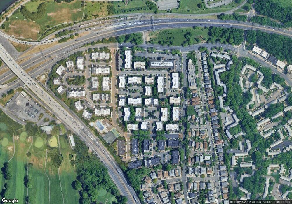
Map
Nearby Homes
- 20701 Estates Dr Unit 2nd FL - Unit 146M
- 13-25 Estates Ln Unit 3F
- 14-14 Bonnie Ln
- 20716 Melissa Ct Unit 1653
- 208-08 Estates Dr Unit 22125
- 12-29 Estates Ln
- 1229 Estates Ln Unit TRIPLEX
- 12-32 Diane Place Unit 204L
- 12-31 Robin Ln Unit Triplex
- 1324 Robin Ln Unit 1195
- 208-06 Robert Rd Unit 2
- 210 E 15th St Unit 2D
- 210 E 15th St Unit 1A
- 210 E 15th St Unit 9L
- 210 E 15th St Unit 5H
- 208-18 15th Rd
- 12-06 Robin Ln Unit 1028
- 13-16 212th St Unit Upper
- 15-47 209th St
- 14-50 212th St Unit 102
- 1306 Michael Ct
- 1306 Michael Ct
- 13-6 Michael Ct
- 13-6 Michael Ct Unit 176L
- 1304 Michael Ct
- 1304 Michael Ct Unit 175C
- 1304 Michael Ct Unit 1628
- 1304 Michael Ct Unit 1627
- 1302 Michael Ct
- 1302 Michael Ct Unit 174B
- 1302 Michael Ct Unit 1625
- 1302 Michael Ct Unit 1626
- 20722 Melissa Ct
- 20722 Melissa Ct
- 20722 Melissa Ct
- 207-22 Melissa Ct
- 207-22 Melissa Ct Unit 187 L
- 20722 Melissa Ct Unit 1662
- 1301 Michael Ct
- 1301 Michael Ct
Your Personal Tour Guide
Ask me questions while you tour the home.