1306 Michael Ct Bayside, NY 11360
Bayside NeighborhoodEstimated Value: $796,209 - $861,000
Studio
--
Bath
1,190
Sq Ft
$695/Sq Ft
Est. Value
About This Home
This home is located at 1306 Michael Ct, Bayside, NY 11360 and is currently estimated at $827,052, approximately $695 per square foot. 1306 Michael Ct is a home located in Queens County with nearby schools including P.S. 209 - Clearview Gardens, J.H.S. 194 William Carr, and Bayside High School.
Ownership History
Date
Name
Owned For
Owner Type
Purchase Details
Closed on
Dec 15, 1999
Sold by
Fazekas Florence C
Bought by
Desouza Ana
Current Estimated Value
Home Financials for this Owner
Home Financials are based on the most recent Mortgage that was taken out on this home.
Original Mortgage
$165,000
Outstanding Balance
$51,380
Interest Rate
7.79%
Mortgage Type
Purchase Money Mortgage
Estimated Equity
$775,672
Create a Home Valuation Report for This Property
The Home Valuation Report is an in-depth analysis detailing your home's value as well as a comparison with similar homes in the area
Home Values in the Area
Average Home Value in this Area
Purchase History
| Date | Buyer | Sale Price | Title Company |
|---|---|---|---|
| Desouza Ana | $312,500 | -- |
Source: Public Records
Mortgage History
| Date | Status | Borrower | Loan Amount |
|---|---|---|---|
| Open | Desouza Ana | $165,000 |
Source: Public Records
Tax History
| Year | Tax Paid | Tax Assessment Tax Assessment Total Assessment is a certain percentage of the fair market value that is determined by local assessors to be the total taxable value of land and additions on the property. | Land | Improvement |
|---|---|---|---|---|
| 2025 | $6,228 | $35,027 | $3,092 | $31,935 |
| 2024 | $2,836 | $34,806 | $3,355 | $31,451 |
| 2023 | $6,140 | $34,370 | $2,906 | $31,464 |
| 2022 | $5,814 | $42,303 | $3,835 | $38,468 |
| 2021 | $5,779 | $37,597 | $3,835 | $33,762 |
| 2020 | $5,519 | $38,181 | $3,835 | $34,346 |
| 2019 | $5,775 | $39,183 | $3,835 | $35,348 |
| 2018 | $5,541 | $28,642 | $3,015 | $25,627 |
| 2017 | $5,209 | $27,021 | $2,904 | $24,117 |
| 2016 | $4,786 | $27,021 | $2,904 | $24,117 |
| 2015 | $2,855 | $24,324 | $3,835 | $20,489 |
| 2014 | $2,855 | $24,171 | $3,834 | $20,337 |
Source: Public Records
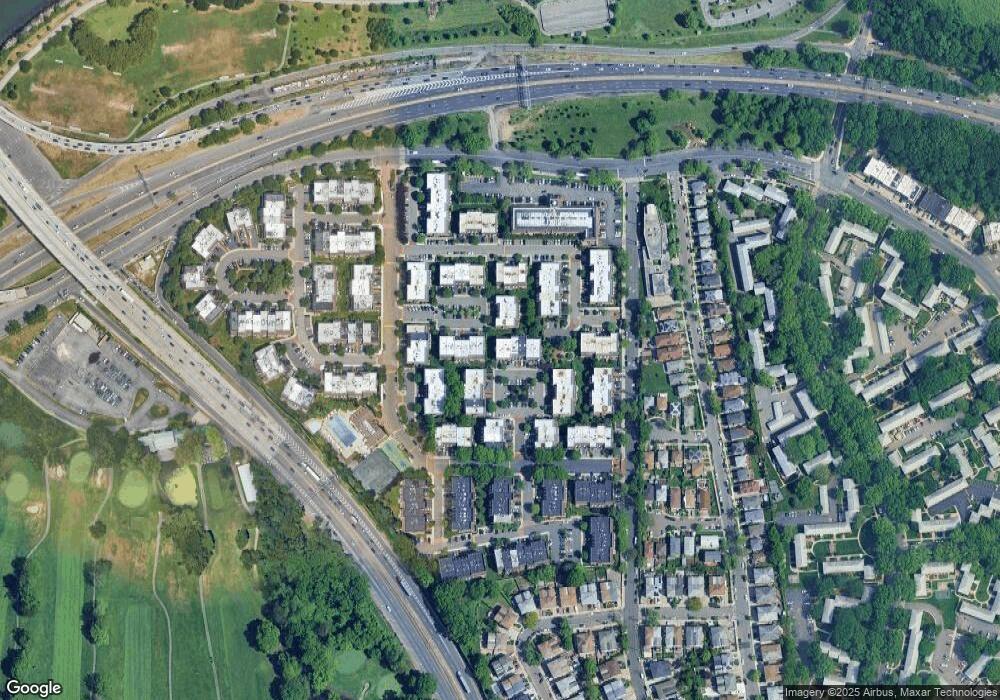
Map
Nearby Homes
- 20701 Estates Dr Unit 2nd FL - Unit 146M
- 13-25 Estates Ln Unit 3F
- 14-14 Bonnie Ln
- 20716 Melissa Ct Unit 1653
- 208-08 Estates Dr Unit 22125
- 12-29 Estates Ln
- 1229 Estates Ln Unit TRIPLEX
- 12-32 Diane Place Unit 204L
- 12-31 Robin Ln Unit Triplex
- 1324 Robin Ln Unit 1195
- 208-06 Robert Rd Unit 2
- 210 E 15th St Unit 2D
- 210 E 15th St Unit 1A
- 210 E 15th St Unit 9L
- 210 E 15th St Unit 5H
- 208-18 15th Rd
- 12-06 Robin Ln Unit 1028
- 13-16 212th St Unit Upper
- 15-47 209th St
- 14-50 212th St Unit 102
- 1306 Michael Ct
- 1306 Michael Ct
- 13-6 Michael Ct
- 13-6 Michael Ct Unit 176L
- 1304 Michael Ct
- 1304 Michael Ct Unit 175C
- 1304 Michael Ct Unit 1628
- 1304 Michael Ct Unit 1627
- 1302 Michael Ct
- 1302 Michael Ct Unit 174B
- 1302 Michael Ct Unit 1625
- 1302 Michael Ct Unit 1626
- 20722 Melissa Ct
- 20722 Melissa Ct
- 20722 Melissa Ct
- 207-22 Melissa Ct
- 207-22 Melissa Ct Unit 187 L
- 20722 Melissa Ct Unit 1662
- 1301 Michael Ct
- 1301 Michael Ct
Your Personal Tour Guide
Ask me questions while you tour the home.