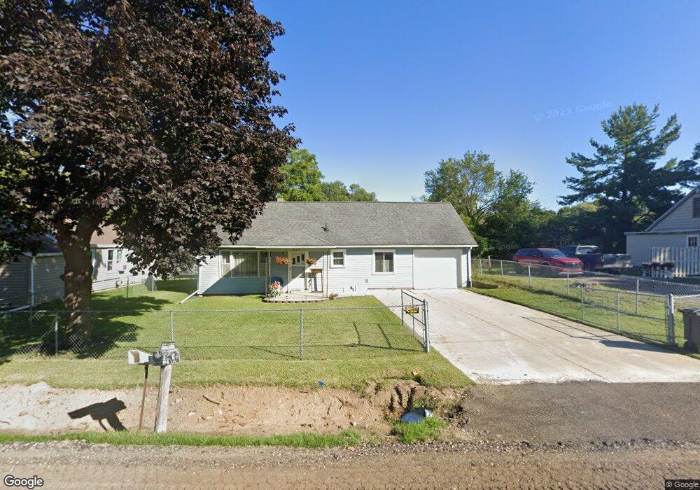
1306 Pops Ct Jackson, MI 49202
Estimated Value: $121,000 - $154,000
Studio
--
Bath
928
Sq Ft
$141/Sq Ft
Est. Value
About This Home
This home is located at 1306 Pops Ct, Jackson, MI 49202 and is currently estimated at $131,158, approximately $141 per square foot. 1306 Pops Ct is a home located in Jackson County with nearby schools including Northwest Early Elementary School, Northwest Elementary School, and Northwest Middle School.
Ownership History
Date
Name
Owned For
Owner Type
Purchase Details
Closed on
Apr 17, 2007
Sold by
Vanmaele Lori Lynn and Jonas Lori Lynn
Bought by
Jonas Lori Lynn
Current Estimated Value
Home Financials for this Owner
Home Financials are based on the most recent Mortgage that was taken out on this home.
Original Mortgage
$89,000
Interest Rate
5.9%
Mortgage Type
Stand Alone Refi Refinance Of Original Loan
Purchase Details
Closed on
Aug 1, 1992
Bought by
Jonas
Create a Home Valuation Report for This Property
The Home Valuation Report is an in-depth analysis detailing your home's value as well as a comparison with similar homes in the area
Home Values in the Area
Average Home Value in this Area
Purchase History
| Date | Buyer | Sale Price | Title Company |
|---|---|---|---|
| Jonas Lori Lynn | -- | Nations Title Agency | |
| Jonas | $39,000 | -- |
Source: Public Records
Mortgage History
| Date | Status | Borrower | Loan Amount |
|---|---|---|---|
| Closed | Jonas Lori Lynn | $89,000 |
Source: Public Records
Tax History
| Year | Tax Paid | Tax Assessment Tax Assessment Total Assessment is a certain percentage of the fair market value that is determined by local assessors to be the total taxable value of land and additions on the property. | Land | Improvement |
|---|---|---|---|---|
| 2025 | $1,278 | $61,250 | $0 | $0 |
| 2024 | $6 | $58,400 | $0 | $0 |
| 2023 | $570 | $52,000 | $0 | $0 |
| 2022 | $1,150 | $47,900 | $0 | $0 |
| 2021 | $1,131 | $41,000 | $0 | $0 |
| 2020 | $1,120 | $39,800 | $0 | $0 |
| 2019 | $1,092 | $39,200 | $0 | $0 |
| 2018 | $1,002 | $37,300 | $0 | $0 |
| 2017 | $947 | $38,400 | $0 | $0 |
| 2016 | $624 | $36,638 | $36,638 | $0 |
| 2015 | $910 | $29,866 | $29,866 | $0 |
| 2014 | $910 | $28,283 | $28,283 | $0 |
| 2013 | -- | $28,283 | $28,283 | $0 |
Source: Public Records
Map
Nearby Homes
- 0 Shirley Dr Unit 24064060
- 735 Royal Dr
- 550 Royal Dr
- 3828 Idlewild St
- 520 Andrew Ave
- 2375 Windemere Dr
- 2510 Clinton Way
- 2515 Clinton Way
- 2512 Clinton Way
- 2514 Clinton Way
- 2511 Clinton Way
- 2516 Clinton Way
- 2513 Clinton Way
- 3335 Clinton Way
- 1149 Maynard Ave
- 951 W Monroe St
- 1802 W Argyle St
- 1105 Clinton Rd
- 3995 Sherwood Lakes Blvd
- 3884 Shoreham St
- 1308 Pops Ct
- 1312 Pops Ct
- 1309 Pops Ct
- 1313 Pops Ct
- 1308 Bileda Ct
- 1310 Bileda Ct
- 1306 Bileda Ct
- 2531 Shirley Dr
- 2447 Shirley Dr
- 2453 Shirley Dr
- 1307 Bileda Ct
- 2535 Shirley Dr
- 1305 Bileda Ct
- 2111 Bondsteel Dr Unit Part
- 2111 Bondsteel Dr
- 2111 Bondsteel Dr Unit Part of Building
- 2607 Shirley Dr
- 2115 Holiday Inn Dr
- 2397 Shirley Dr
- 2628 Shirley Dr
Your Personal Tour Guide
Ask me questions while you tour the home.