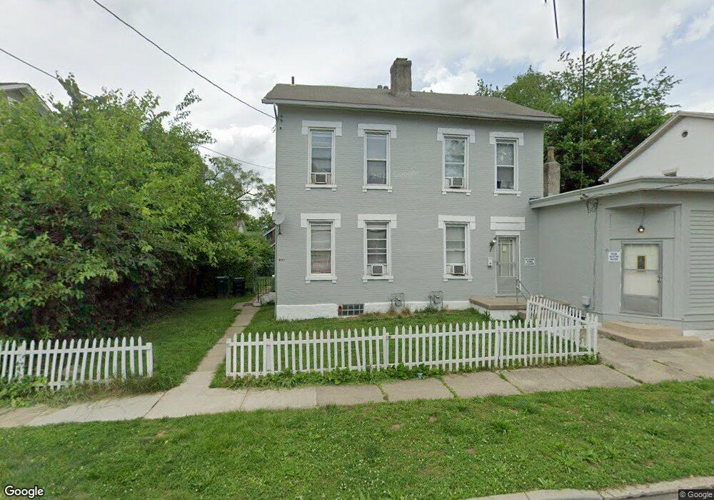
1306 Regent Ave Cincinnati, OH 45237
Bond Hill NeighborhoodEstimated Value: $158,926 - $231,000
3
Beds
1
Bath
1,211
Sq Ft
$151/Sq Ft
Est. Value
About This Home
This home is located at 1306 Regent Ave, Cincinnati, OH 45237 and is currently estimated at $182,482, approximately $150 per square foot. 1306 Regent Ave is a home located in Hamilton County with nearby schools including Bond Hill Academy Elementary School, Shroder High School, and Clark Montessori High School.
Ownership History
Date
Name
Owned For
Owner Type
Purchase Details
Closed on
Jan 16, 2020
Sold by
Stallworth Franklin D
Bought by
4 Pack Holdings Ltd
Current Estimated Value
Home Financials for this Owner
Home Financials are based on the most recent Mortgage that was taken out on this home.
Original Mortgage
$60,000
Interest Rate
3.6%
Mortgage Type
Commercial
Purchase Details
Closed on
Mar 27, 2000
Sold by
Stallworth Franklin D
Bought by
Stallworth Franklin D and Franklin D Stallworth Declaration Trust
Create a Home Valuation Report for This Property
The Home Valuation Report is an in-depth analysis detailing your home's value as well as a comparison with similar homes in the area
Home Values in the Area
Average Home Value in this Area
Purchase History
| Date | Buyer | Sale Price | Title Company |
|---|---|---|---|
| 4 Pack Holdings Ltd | $45,000 | None Available | |
| Stallworth Franklin D | -- | -- |
Source: Public Records
Mortgage History
| Date | Status | Borrower | Loan Amount |
|---|---|---|---|
| Closed | 4 Pack Holdings Ltd | $60,000 |
Source: Public Records
Tax History
| Year | Tax Paid | Tax Assessment Tax Assessment Total Assessment is a certain percentage of the fair market value that is determined by local assessors to be the total taxable value of land and additions on the property. | Land | Improvement |
|---|---|---|---|---|
| 2025 | $1,852 | $28,935 | $3,840 | $25,095 |
| 2024 | $1,850 | $28,935 | $3,840 | $25,095 |
| 2023 | $1,853 | $28,935 | $3,840 | $25,095 |
| 2022 | $524 | $7,137 | $3,287 | $3,850 |
| 2021 | $509 | $7,137 | $3,287 | $3,850 |
| 2020 | $510 | $7,137 | $3,287 | $3,850 |
| 2019 | $1,168 | $15,138 | $3,073 | $12,065 |
| 2018 | $1,169 | $15,138 | $3,073 | $12,065 |
| 2017 | $1,125 | $15,138 | $3,073 | $12,065 |
| 2016 | $1,362 | $17,903 | $3,227 | $14,676 |
| 2015 | $1,219 | $17,903 | $3,227 | $14,676 |
| 2014 | $1,225 | $17,903 | $3,227 | $14,676 |
| 2013 | $1,270 | $18,271 | $3,294 | $14,977 |
Source: Public Records
Map
Nearby Homes
- 1305 Regent Ave
- 1303 Regent Ave
- 1307 Regent Ave
- 1309 Regent Ave
- 1435 Laidlaw Ave
- 1214 Franklin Ave
- 1144 Carolina Ave
- 1602 Rose Place
- 1435 Yarmouth Ave
- 1100 Carolina Ave
- 1740 Garden Ln
- 0 Township Road 111
- 1013 Tennessee Ave
- 1858 Garden Ln
- 5104 Lillian Dr
- 14 Township Ave
- 1224 Westminster Dr
- 1114 Egan Ct
- 1802 Lawn Ave
- 106 Township Ave
- 1302 Regent Ave
- 1308 Regent Ave
- 1312 Regent Ave
- 1305 Laidlaw Ave
- 1309 Laidlaw Ave
- 1303 Laidlaw Ave
- 1313 Laidlaw Ave
- 1236 Regent Ave
- 1318 Regent Ave
- 1315 Laidlaw Ave
- 1313 Regent Ave
- 1237 Laidlaw Ave
- 1321 Laidlaw Ave
- 4936 Oakdale Ave
- 1317 Regent Ave
- 1323 Laidlaw Ave
- 1324 Regent Ave
- 1319 Regent Ave
- 1231 Laidlaw Ave
- 4932 Oakdale Ave
Your Personal Tour Guide
Ask me questions while you tour the home.