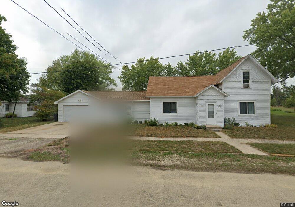
1307 13th St Brodhead, WI 53520
Estimated Value: $178,520 - $238,000
Studio
--
Bath
--
Sq Ft
11,892
Sq Ft Lot
About This Home
This home is located at 1307 13th St, Brodhead, WI 53520 and is currently estimated at $208,880. 1307 13th St is a home located in Green County with nearby schools including Ronald R. Albrecht Elementary School, Brodhead Middle School, and Brodhead High School.
Ownership History
Date
Name
Owned For
Owner Type
Purchase Details
Closed on
Sep 1, 2021
Sold by
Brown Barbara J and The Barbara J Brown Revocable
Bought by
Oswald Brennan M and Hoff Janet H
Current Estimated Value
Home Financials for this Owner
Home Financials are based on the most recent Mortgage that was taken out on this home.
Original Mortgage
$85,500
Outstanding Balance
$76,819
Interest Rate
2.7%
Mortgage Type
New Conventional
Estimated Equity
$132,061
Purchase Details
Closed on
Jan 19, 2021
Sold by
Brown Barbara J
Bought by
Brown Barbara J and Barbara J Brown Revocable Trus
Create a Home Valuation Report for This Property
The Home Valuation Report is an in-depth analysis detailing your home's value as well as a comparison with similar homes in the area
Home Values in the Area
Average Home Value in this Area
Purchase History
| Date | Buyer | Sale Price | Title Company |
|---|---|---|---|
| Oswald Brennan M | $90,000 | None Available | |
| Brown Barbara J | -- | None Available |
Source: Public Records
Mortgage History
| Date | Status | Borrower | Loan Amount |
|---|---|---|---|
| Open | Oswald Brennan M | $85,500 |
Source: Public Records
Tax History
| Year | Tax Paid | Tax Assessment Tax Assessment Total Assessment is a certain percentage of the fair market value that is determined by local assessors to be the total taxable value of land and additions on the property. | Land | Improvement |
|---|---|---|---|---|
| 2025 | $2,685 | $140,800 | $24,600 | $116,200 |
| 2024 | $2,493 | $140,800 | $24,600 | $116,200 |
| 2023 | $2,599 | $140,800 | $24,600 | $116,200 |
| 2022 | $2,468 | $126,200 | $18,200 | $108,000 |
| 2021 | $2,260 | $87,100 | $15,800 | $71,300 |
| 2020 | $2,225 | $87,100 | $15,800 | $71,300 |
| 2019 | $2,177 | $87,100 | $15,800 | $71,300 |
| 2018 | $2,076 | $87,100 | $15,800 | $71,300 |
| 2017 | $2,096 | $87,100 | $15,800 | $71,300 |
| 2016 | $2,098 | $87,100 | $15,800 | $71,300 |
| 2014 | $2,199 | $87,100 | $15,800 | $71,300 |
Source: Public Records
Map
Nearby Homes
- 1206 13th St
- 1104 W 5th Ave
- 1104 11th St
- 1504 W 7th Ave
- 1202 1st Center Ave
- 1604 E 3rd Ave
- 701 E 2nd Ave
- 605 E 4th Ave
- Lots 5 & 7 15th St E 7th Ave
- 701 E 5th Ave
- 207 Cedar Ave
- 198 Juniper Ave
- 6 Acres 25th St
- 501 4th St
- 401 E 6th Ave
- N2741 & N2721 Highway 11
- 303 E 7th Ave
- Parcel 2355 1000
- Parcel 2355 2000
- Parcels 2355 1000 and 2355 2000
Your Personal Tour Guide
Ask me questions while you tour the home.