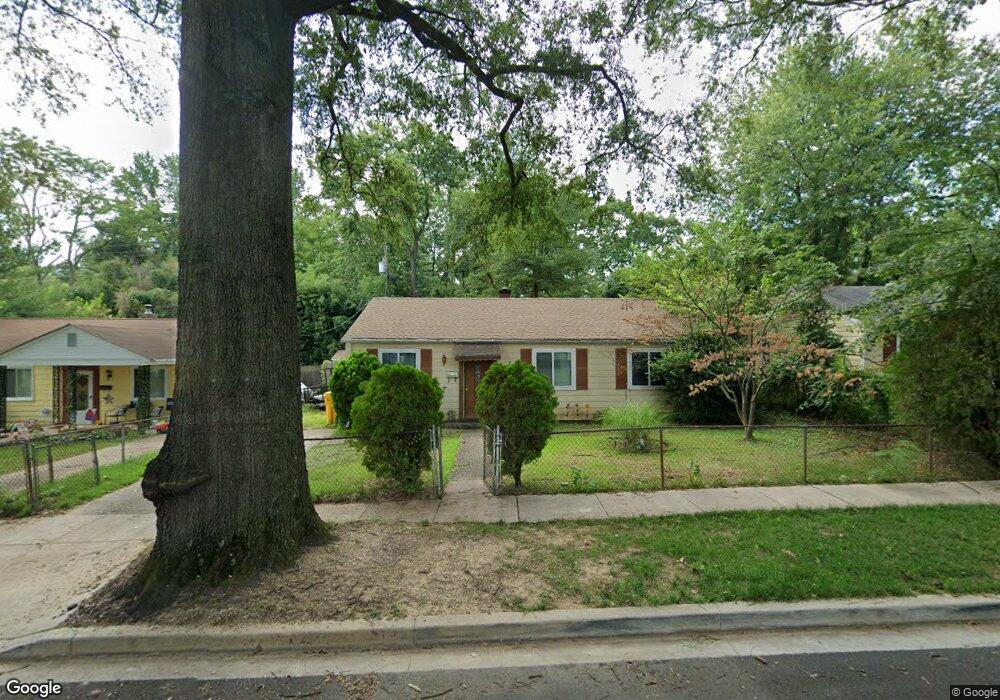
1307 Saunders Way Glen Burnie, MD 21061
Estimated Value: $268,298 - $366,000
--
Bed
1
Bath
1,368
Sq Ft
$243/Sq Ft
Est. Value
About This Home
This home is located at 1307 Saunders Way, Glen Burnie, MD 21061 and is currently estimated at $332,075, approximately $242 per square foot. 1307 Saunders Way is a home located in Anne Arundel County with nearby schools including Woodside Elementary School, Corkran Middle School, and Glen Burnie High School.
Ownership History
Date
Name
Owned For
Owner Type
Purchase Details
Closed on
Aug 22, 2019
Sold by
Second Reversionary Partnership
Bought by
Ground Rents Llc
Current Estimated Value
Purchase Details
Closed on
Dec 9, 1996
Sold by
Bura Celestine J
Bought by
Zeller William H and Zeller Melinda P
Purchase Details
Closed on
Dec 31, 1987
Sold by
Holderman Michael W
Bought by
Bura Celestine J
Create a Home Valuation Report for This Property
The Home Valuation Report is an in-depth analysis detailing your home's value as well as a comparison with similar homes in the area
Home Values in the Area
Average Home Value in this Area
Purchase History
| Date | Buyer | Sale Price | Title Company |
|---|---|---|---|
| Ground Rents Llc | $30,352 | None Available | |
| Zeller William H | $93,000 | -- | |
| Bura Celestine J | $75,200 | -- |
Source: Public Records
Mortgage History
| Date | Status | Borrower | Loan Amount |
|---|---|---|---|
| Closed | Zeller William H | -- |
Source: Public Records
Tax History Compared to Growth
Tax History
| Year | Tax Paid | Tax Assessment Tax Assessment Total Assessment is a certain percentage of the fair market value that is determined by local assessors to be the total taxable value of land and additions on the property. | Land | Improvement |
|---|---|---|---|---|
| 2025 | $2,931 | $235,400 | $142,600 | $92,800 |
| 2024 | $2,931 | $221,800 | $0 | $0 |
| 2023 | $2,747 | $208,200 | $0 | $0 |
| 2022 | $2,464 | $194,600 | $112,600 | $82,000 |
| 2021 | $4,843 | $190,533 | $0 | $0 |
| 2020 | $2,338 | $186,467 | $0 | $0 |
| 2019 | $4,504 | $182,400 | $102,600 | $79,800 |
| 2018 | $1,816 | $179,067 | $0 | $0 |
| 2017 | $2,174 | $175,733 | $0 | $0 |
| 2016 | -- | $172,400 | $0 | $0 |
| 2015 | -- | $164,967 | $0 | $0 |
| 2014 | -- | $157,533 | $0 | $0 |
Source: Public Records
Map
Nearby Homes
- 1003 Lee Rd
- 1612 Lorimer Rd
- 0 Irene Dr
- 1702 Manning Rd
- 405 Morningside Dr
- 8903 Jeff Mar Dr
- 1613 Kimber Rd
- 1731 Saunders Way
- 8918 Twin Ridge Dr
- 1701 Norfolk Rd
- 912 Oakwood Rd
- 8906 Jeff Mar Dr
- 301 Whitman Ct
- 713 Cotter Rd
- 1921 Norwich Rd
- 822 Dale Rd
- 7818 Oakwood Rd
- 1909 Pagham Rd
- 180 Jessica Ln
- 45 Chester Cir
- 1305 Saunders Way
- 1401 Saunders Way
- 1403 Saunders Way
- 1303 Saunders Way
- 1426 Houghton Rd
- 1405 Saunders Way
- 1301 Saunders Way
- 1429 Houghton Rd
- 1327 Gatwick Rd
- 1424 Houghton Rd
- 1427 Houghton Rd
- 1207 Saunders Way
- 1407 Saunders Way
- 1325 Gatwick Rd
- 1528 Ingalls Rd
- 1422 Houghton Rd
- 1425 Houghton Rd
- 1205 Saunders Way
- 1526 Ingalls Rd
- 1323 Gatwick Rd