13072 Mueller Dr Groveland, CA 95321
Estimated Value: $425,000 - $442,000
2
Beds
3
Baths
2,350
Sq Ft
$185/Sq Ft
Est. Value
About This Home
This home is located at 13072 Mueller Dr, Groveland, CA 95321 and is currently estimated at $434,398, approximately $184 per square foot. 13072 Mueller Dr is a home located in Tuolumne County.
Ownership History
Date
Name
Owned For
Owner Type
Purchase Details
Closed on
Oct 16, 2007
Sold by
Waddill Lyman E and Waddill Maren S
Bought by
Hanks Jason A and Hanks Ena F
Current Estimated Value
Home Financials for this Owner
Home Financials are based on the most recent Mortgage that was taken out on this home.
Original Mortgage
$264,000
Outstanding Balance
$164,017
Interest Rate
6.12%
Mortgage Type
Purchase Money Mortgage
Estimated Equity
$270,381
Purchase Details
Closed on
Dec 22, 2001
Sold by
Waddill Lyman D
Bought by
Waddill Lyman E and Waddill Maren S
Create a Home Valuation Report for This Property
The Home Valuation Report is an in-depth analysis detailing your home's value as well as a comparison with similar homes in the area
Home Values in the Area
Average Home Value in this Area
Purchase History
| Date | Buyer | Sale Price | Title Company |
|---|---|---|---|
| Hanks Jason A | $330,000 | Yosemite Title Company | |
| Waddill Lyman E | -- | -- |
Source: Public Records
Mortgage History
| Date | Status | Borrower | Loan Amount |
|---|---|---|---|
| Open | Hanks Jason A | $264,000 |
Source: Public Records
Tax History Compared to Growth
Tax History
| Year | Tax Paid | Tax Assessment Tax Assessment Total Assessment is a certain percentage of the fair market value that is determined by local assessors to be the total taxable value of land and additions on the property. | Land | Improvement |
|---|---|---|---|---|
| 2025 | $4,291 | $383,121 | $86,636 | $296,485 |
| 2024 | $4,291 | $383,121 | $86,636 | $296,485 |
| 2023 | $4,281 | $383,121 | $86,636 | $296,485 |
| 2022 | $4,281 | $383,121 | $86,636 | $296,485 |
| 2021 | $3,852 | $342,073 | $77,354 | $264,719 |
| 2020 | $3,585 | $319,694 | $72,293 | $247,401 |
| 2019 | $3,477 | $313,425 | $70,875 | $242,550 |
| 2018 | $3,304 | $298,500 | $67,500 | $231,000 |
| 2017 | $3,007 | $271,000 | $61,000 | $210,000 |
| 2016 | $2,871 | $259,798 | $59,045 | $200,753 |
| 2015 | $2,743 | $247,428 | $56,234 | $191,194 |
| 2014 | $2,491 | $224,935 | $51,122 | $173,813 |
Source: Public Records
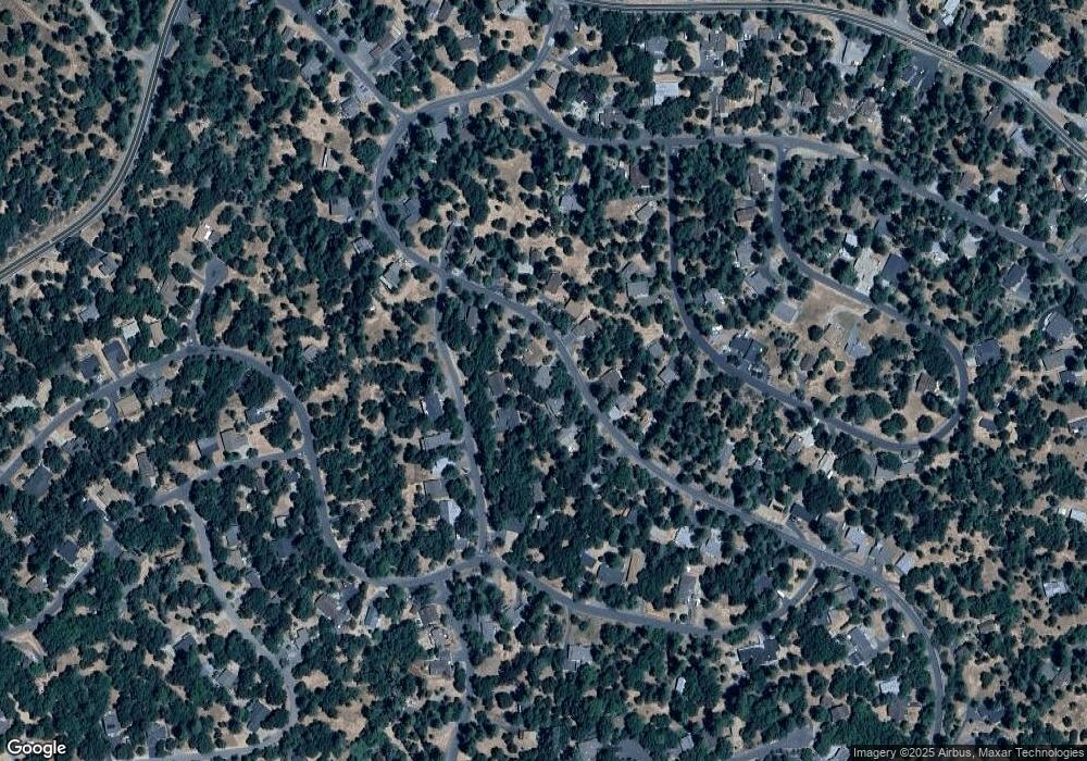
Map
Nearby Homes
- 13133 Mohrmann St
- 13161 Jackson Mill Dr
- 12918 Jackson Mill Dr
- 13095 Fox Ct
- 13024 Gamble St
- 13025 Gamble St
- 19099 Raboul Ct
- 19051 Crocker Station Ln
- 13024 Burns Ct
- 19369 Ferretti Rd
- 0 Mueller Dr Unit 224127979
- 13166 Wells Fargo Dr
- 13150 Wells Fargo Dr
- 12904 Jackson Mill Dr
- 19418 Ferretti Rd
- 12910 Jackson Mill Dr
- 13048 Jackson Mill Dr
- 12944 Wells Fargo Dr
- 13064 Mueller Dr
- 13086 Mueller Dr Unit 143
- 13086 Mueller Dr
- 13177 Mohrmann St Unit 115
- 13177 Mohrmann St Unit 2, Lot 115
- 13177 Mohrmann St
- 13161 Mohrmann St Unit 2
- 13088 Mueller Dr
- 13056 Mueller Dr
- 13075 Mueller Dr Unit 163A
- 13075 Mueller Dr
- 13069 Mueller Dr Unit 2 lot 165
- 13069 Mueller Dr Unit 165
- 13069 Mueller Dr
- 112 Mohrmann St
- 111 Mohrmann St
- 13059 Mueller Dr Unit 166
- 13059 Mueller Dr
- 13098 Mueller Dr Unit 145
- 13098 Mueller Dr