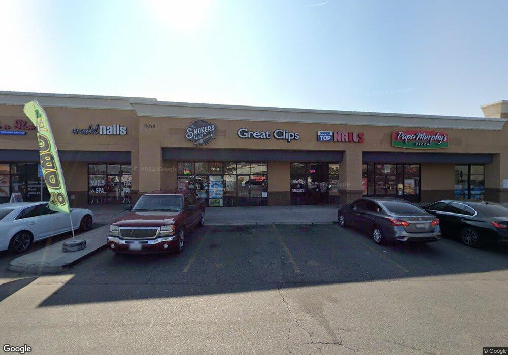
13075 Rosedale Hwy Unit D Bakersfield, CA 93314
--
Bed
--
Bath
8,400
Sq Ft
1,742
Sq Ft Lot
About This Home
This home is located at 13075 Rosedale Hwy Unit D, Bakersfield, CA 93314. 13075 Rosedale Hwy Unit D is a home located in Kern County with nearby schools including Independence Elementary School, Rosedale Middle School, and Liberty High School.
Ownership History
Date
Name
Owned For
Owner Type
Purchase Details
Closed on
Dec 20, 2013
Sold by
Rosedale Allen Associates Lp
Bought by
Patrick Wade Llc
Home Financials for this Owner
Home Financials are based on the most recent Mortgage that was taken out on this home.
Original Mortgage
$1,038,830
Outstanding Balance
$775,227
Interest Rate
4.17%
Mortgage Type
Credit Line Revolving
Purchase Details
Closed on
May 3, 2000
Sold by
Albertsons Inc
Bought by
Can Am Retail Partners/Bakersfield Llc
Home Financials for this Owner
Home Financials are based on the most recent Mortgage that was taken out on this home.
Original Mortgage
$960,000
Interest Rate
8.25%
Create a Home Valuation Report for This Property
The Home Valuation Report is an in-depth analysis detailing your home's value as well as a comparison with similar homes in the area
Home Values in the Area
Average Home Value in this Area
Purchase History
| Date | Buyer | Sale Price | Title Company |
|---|---|---|---|
| Patrick Wade Llc | -- | Chicago Title Company | |
| Can Am Retail Partners/Bakersfield Llc | -- | First American Title Ins Co |
Source: Public Records
Mortgage History
| Date | Status | Borrower | Loan Amount |
|---|---|---|---|
| Open | Patrick Wade Llc | $1,038,830 | |
| Previous Owner | Can Am Retail Partners/Bakersfield Llc | $960,000 |
Source: Public Records
Tax History Compared to Growth
Tax History
| Year | Tax Paid | Tax Assessment Tax Assessment Total Assessment is a certain percentage of the fair market value that is determined by local assessors to be the total taxable value of land and additions on the property. | Land | Improvement |
|---|---|---|---|---|
| 2025 | $24,457 | $2,102,344 | $1,464,902 | $637,442 |
| 2024 | $24,457 | $2,061,123 | $1,436,179 | $624,944 |
| 2023 | $23,987 | $2,020,710 | $1,408,019 | $612,691 |
| 2022 | $23,734 | $1,981,089 | $1,380,411 | $600,678 |
| 2021 | $23,439 | $1,942,245 | $1,353,345 | $588,900 |
| 2020 | $23,225 | $1,922,331 | $1,339,469 | $582,862 |
| 2019 | $22,837 | $1,922,331 | $1,339,469 | $582,862 |
| 2018 | $24,353 | $1,847,686 | $1,287,456 | $560,230 |
| 2017 | $21,088 | $1,811,458 | $1,262,212 | $549,246 |
| 2016 | $19,531 | $1,775,940 | $1,237,463 | $538,477 |
| 2015 | $19,248 | $1,749,265 | $1,218,876 | $530,389 |
| 2014 | $18,846 | $1,715,000 | $1,195,000 | $520,000 |
Source: Public Records
Map
Nearby Homes
- 13214 Giro Dr
- 2612 Van Buren Place
- 13013 Tyler Ct
- 12912 Tyler Ct
- 13019 Queen Palm Ct
- 13300 Coco Palm Ct
- 13418 Giro Dr
- 13417 Hinault Dr Unit 1
- 13306 Monarch Palm Ave
- 2112 Branch Creek St
- 3000 Allen Rd
- 2710 Maher Way
- 13207 Phoenix Palm Ct
- 2639 Jenkins Rd
- 13754 Rosedale Hwy
- 13603 Monarch Palm Ave
- 12421 Winn Ave
- 13604 Providence Place
- 13115 Nantucket Place
- 13010 Fall River Place
- 13061 Rosedale Hwy Unit H
- 13061 Rosedale Hwy
- 13102 Induran Dr
- 13106 Induran Dr
- 13129 Rosedale Hwy Unit 202
- 13110 Induran Dr
- 13103 Induran Dr
- 2329 Cullen Ct
- 12926 Merlot Dr
- 13107 Induran Dr
- 12924 Merlot Dr
- 13114 Induran Dr
- 13111 Induran Dr
- 12918 Merlot Dr
- 15000 Rosedale Hwy
- 13108 Giro Dr
- 12912 Merlot Dr
- 13112 Giro Dr
- 13115 Induran Dr Unit 1
- 13100 Giro Dr Unit 1