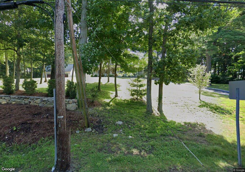
1308 Durham Road (Rt 79) Madison, CT 06443
Estimated Value: $1,153,960 - $1,375,000
3
Beds
6
Baths
2,767
Sq Ft
$459/Sq Ft
Est. Value
About This Home
This home is located at 1308 Durham Road (Rt 79), Madison, CT 06443 and is currently estimated at $1,269,740, approximately $458 per square foot. 1308 Durham Road (Rt 79) is a home located in New Haven County with nearby schools including Walter C. Polson Upper Middle School, Daniel Hand High School, and The Country School.
Ownership History
Date
Name
Owned For
Owner Type
Purchase Details
Closed on
Jul 16, 2025
Sold by
Bartlett Kenneth and Bartlett Kimberly
Bought by
Pamela M Wertheim T M and Pamela Wertheim
Current Estimated Value
Purchase Details
Closed on
Oct 3, 2008
Sold by
Rainbow Floors Llc
Bought by
Bartlett Kenneth G
Purchase Details
Closed on
Apr 24, 2006
Sold by
Porrino Peter R and Porrino June E
Bought by
Rainbow Floore Llc
Purchase Details
Closed on
Dec 2, 2002
Sold by
Porrino Michael Est and Porrino
Bought by
Mat And Meag Llc
Create a Home Valuation Report for This Property
The Home Valuation Report is an in-depth analysis detailing your home's value as well as a comparison with similar homes in the area
Home Values in the Area
Average Home Value in this Area
Purchase History
| Date | Buyer | Sale Price | Title Company |
|---|---|---|---|
| Pamela M Wertheim T M | $1,300,000 | -- | |
| Bartlett Kenneth G | $325,000 | -- | |
| Rainbow Floore Llc | $390,000 | -- | |
| Mat And Meag Llc | $329,000 | -- | |
| Bartlett Kenneth G | $325,000 | -- | |
| Rainbow Floore Llc | $390,000 | -- | |
| Mat And Meag Llc | $329,000 | -- |
Source: Public Records
Mortgage History
| Date | Status | Borrower | Loan Amount |
|---|---|---|---|
| Previous Owner | Mat And Meag Llc | $100,000 | |
| Previous Owner | Mat And Meag Llc | $175,000 |
Source: Public Records
Tax History Compared to Growth
Tax History
| Year | Tax Paid | Tax Assessment Tax Assessment Total Assessment is a certain percentage of the fair market value that is determined by local assessors to be the total taxable value of land and additions on the property. | Land | Improvement |
|---|---|---|---|---|
| 2025 | $12,545 | $559,300 | $128,100 | $431,200 |
| 2024 | $12,305 | $559,300 | $128,100 | $431,200 |
| 2023 | $11,712 | $390,800 | $77,400 | $313,400 |
| 2022 | $11,493 | $390,800 | $77,400 | $313,400 |
| 2021 | $11,275 | $390,800 | $77,400 | $313,400 |
| 2020 | $10,813 | $381,400 | $77,400 | $304,000 |
| 2019 | $10,813 | $381,400 | $77,400 | $304,000 |
| 2018 | $10,596 | $377,900 | $79,600 | $298,300 |
| 2017 | $10,317 | $377,900 | $79,600 | $298,300 |
| 2016 | $10,011 | $377,900 | $79,600 | $298,300 |
| 2015 | $9,735 | $377,900 | $79,600 | $298,300 |
| 2014 | $10,821 | $429,900 | $110,600 | $319,300 |
Source: Public Records
Map
Nearby Homes
- 0 Old Toll Rd Unit 24109109
- 1281 Durham Rd
- 247 C Old Toll Rd
- 735 Opening Hill Rd
- 76 Squires Rd
- 48 Shepherds Trail
- 17 Eagle Meadow Rd
- 1543 Durham Rd
- 1071 Durham Rd
- 18 Deepwood Dr
- 779 Summer Hill Rd
- 197 Concord Dr
- 40 Legend Hill Rd
- 85 Legend Hill Rd Unit 85
- 174 Concord Dr
- 39 Stepping Stone Ln
- 30 Chestnut Hill Rd
- 148 Country Way
- 81 Bartlett Dr
- 132 Summer Hill Rd
- 491 Old Toll Rd
- 10 Northwood Rd
- 503 Old Toll Rd
- 0 Durham Rd Unit N10051389
- 0 Durham Rd Unit N10221603
- 00 Durham Rd
- 12 Northwood Rd
- 4 Northwood Rd
- 508 Old Toll Rd
- 16 Northwood Rd
- 0 Old Toll Rd Unit N10067678
- 00 Old Toll Rd
- 0 Old Toll Rd Unit 24018237
- 1278 Durham Rd
- 5 Northwood Rd
- 1276 Durham Rd
- 22 Northwood Rd
- 28 Northwood Rd
- 15 Northwood Rd
- 36 Northwood Rd