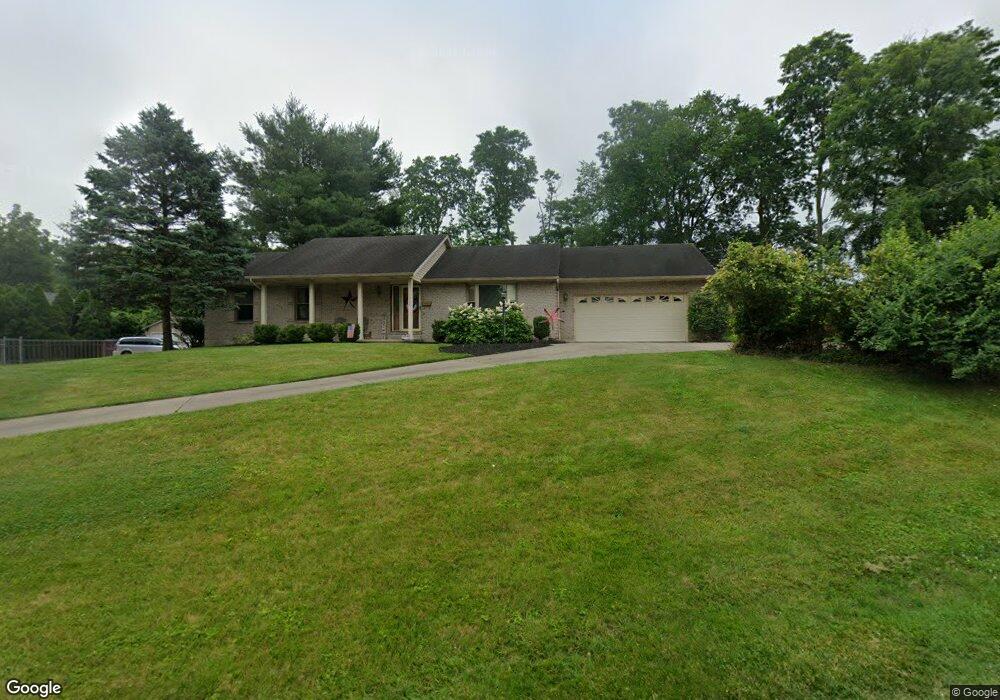
1308 Fuhrman Rd Cincinnati, OH 45215
Estimated Value: $336,000 - $436,000
3
Beds
2
Baths
1,458
Sq Ft
$252/Sq Ft
Est. Value
About This Home
This home is located at 1308 Fuhrman Rd, Cincinnati, OH 45215 and is currently estimated at $368,050, approximately $252 per square foot. 1308 Fuhrman Rd is a home located in Hamilton County with nearby schools including Reading Community High School, Saints Peter and Paul Academy, and Mount Notre Dame High School.
Ownership History
Date
Name
Owned For
Owner Type
Purchase Details
Closed on
Nov 7, 2012
Sold by
Murray Nancy M
Bought by
King Donna J
Current Estimated Value
Home Financials for this Owner
Home Financials are based on the most recent Mortgage that was taken out on this home.
Original Mortgage
$170,850
Outstanding Balance
$116,818
Interest Rate
3.32%
Mortgage Type
New Conventional
Estimated Equity
$251,232
Purchase Details
Closed on
Jun 25, 2007
Sold by
Murray Michael T
Bought by
Murray Nancy M
Purchase Details
Closed on
Sep 1, 2006
Sold by
Hawes Ernestine
Bought by
Murray Michael T and Murray Nancy M
Home Financials for this Owner
Home Financials are based on the most recent Mortgage that was taken out on this home.
Original Mortgage
$18,850
Interest Rate
6.7%
Mortgage Type
Stand Alone Second
Create a Home Valuation Report for This Property
The Home Valuation Report is an in-depth analysis detailing your home's value as well as a comparison with similar homes in the area
Home Values in the Area
Average Home Value in this Area
Purchase History
| Date | Buyer | Sale Price | Title Company |
|---|---|---|---|
| King Donna J | $201,000 | Stewart Title Company | |
| Murray Nancy M | -- | Attorney | |
| Murray Michael T | $188,500 | None Available |
Source: Public Records
Mortgage History
| Date | Status | Borrower | Loan Amount |
|---|---|---|---|
| Open | King Donna J | $170,850 | |
| Previous Owner | Murray Michael T | $18,850 | |
| Previous Owner | Murray Michael T | $150,800 |
Source: Public Records
Tax History Compared to Growth
Tax History
| Year | Tax Paid | Tax Assessment Tax Assessment Total Assessment is a certain percentage of the fair market value that is determined by local assessors to be the total taxable value of land and additions on the property. | Land | Improvement |
|---|---|---|---|---|
| 2024 | $5,260 | $101,619 | $12,957 | $88,662 |
| 2023 | $5,339 | $101,619 | $12,957 | $88,662 |
| 2022 | $4,986 | $73,542 | $11,263 | $62,279 |
| 2021 | $4,162 | $73,542 | $11,263 | $62,279 |
| 2020 | $4,207 | $73,542 | $11,263 | $62,279 |
| 2019 | $4,077 | $65,083 | $9,968 | $55,115 |
| 2018 | $4,081 | $65,083 | $9,968 | $55,115 |
| 2017 | $3,846 | $65,083 | $9,968 | $55,115 |
| 2016 | $4,146 | $70,350 | $9,835 | $60,515 |
| 2015 | $4,183 | $70,350 | $9,835 | $60,515 |
| 2014 | $3,659 | $70,350 | $9,835 | $60,515 |
| 2013 | $3,207 | $62,080 | $10,035 | $52,045 |
Source: Public Records
Map
Nearby Homes
- 1194 Fuhrman Rd
- 2451 Hunt Rd
- 1246 Thurnridge Dr
- 2413 Carol Dr
- 2598 Maple Tree Ct
- 2590 Hunt Rd
- 1626 Krylon Dr
- 1684 Sanborn Dr
- 2626 Hunt Rd
- 1955 Hunt Rd
- 113 Waxwing Dr
- 234 Mcguire Ln
- 796 Kenray Ct
- 8907 Eldora Dr
- 69 Orchard Knoll Dr
- 3733 Lyndon Center Ct
- 2127 Longmeadow Ln
- 3843 Blackwood Ct
- 636 Maple Dr
- 3558 Lobelia Dr
- 1312 Fuhrman Rd
- 1259 Fuhrman Rd
- 1314 Fuhrman Rd
- 1218 Sanborn Ct
- 1251 Fuhrman Rd
- 1313 Fuhrman Rd
- 1222 Sanborn Ct
- 1247 Fuhrman Rd
- 1222 Fuhrman Rd
- 1226 Sanborn Ct
- 1215 Sanborn Ct
- 1317 Fuhrman Rd
- 1316 Fuhrman Rd
- 1219 Sanborn Ct
- 1243 Fuhrman Rd
- 1319 Fuhrman Rd
- 1230 Sanborn Ct
- 1223 Sanborn Ct
- 1227 Sanborn Ct
- 1239 Fuhrman Rd