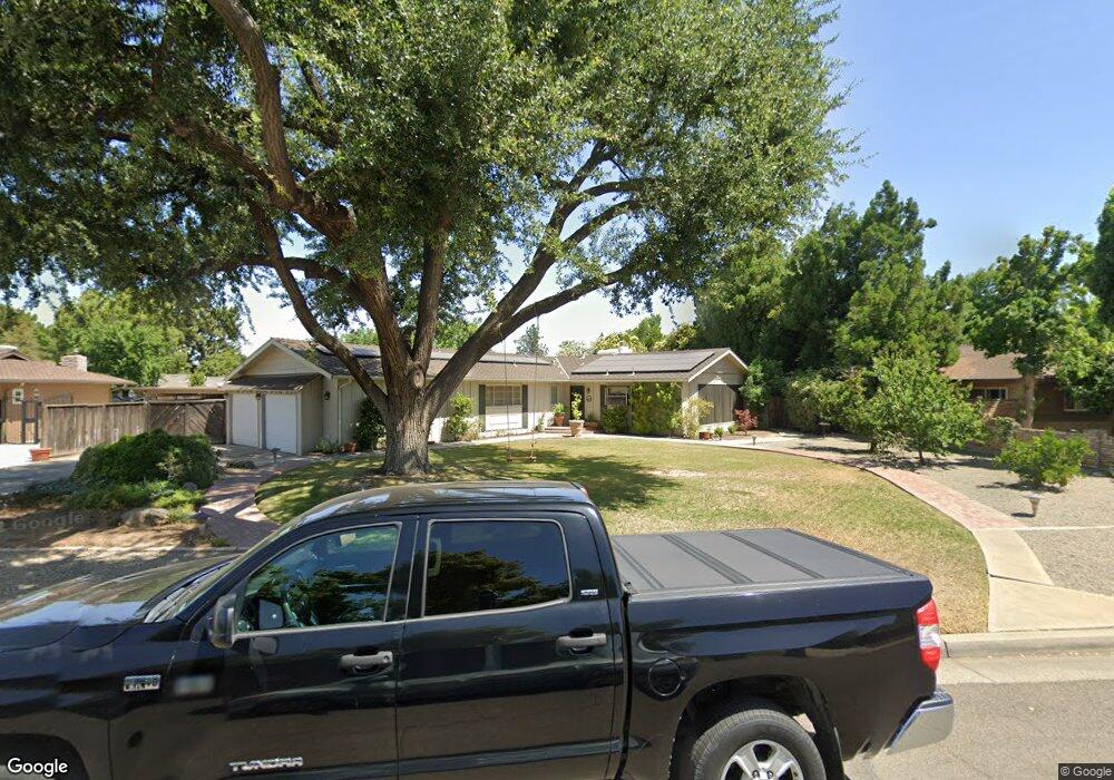
1308 W San Madele Ave Fresno, CA 93711
Bullard NeighborhoodEstimated Value: $483,000 - $584,000
4
Beds
2
Baths
2,099
Sq Ft
$257/Sq Ft
Est. Value
About This Home
This home is located at 1308 W San Madele Ave, Fresno, CA 93711 and is currently estimated at $539,383, approximately $256 per square foot. 1308 W San Madele Ave is a home located in Fresno County with nearby schools including Gibson Elementary School, Tenaya Middle School, and Bullard High School.
Ownership History
Date
Name
Owned For
Owner Type
Purchase Details
Closed on
Apr 29, 2021
Sold by
Pirok Leo J and Pirok Kathleen
Bought by
Pirok Leo J and Pirok Kathleen
Current Estimated Value
Home Financials for this Owner
Home Financials are based on the most recent Mortgage that was taken out on this home.
Original Mortgage
$221,500
Interest Rate
3.1%
Mortgage Type
New Conventional
Purchase Details
Closed on
Sep 26, 2014
Sold by
Pirok Leo J and Pirok Kathleen
Bought by
Leo J Pirok Jr & Kathleen Pirok Living T and Pirok Kathleen
Create a Home Valuation Report for This Property
The Home Valuation Report is an in-depth analysis detailing your home's value as well as a comparison with similar homes in the area
Home Values in the Area
Average Home Value in this Area
Purchase History
| Date | Buyer | Sale Price | Title Company |
|---|---|---|---|
| Pirok Leo J | -- | Timios Inc | |
| Leo J Pirok Jr & Kathleen Pirok Living T | -- | None Available |
Source: Public Records
Mortgage History
| Date | Status | Borrower | Loan Amount |
|---|---|---|---|
| Closed | Pirok Leo J | $221,500 |
Source: Public Records
Tax History Compared to Growth
Tax History
| Year | Tax Paid | Tax Assessment Tax Assessment Total Assessment is a certain percentage of the fair market value that is determined by local assessors to be the total taxable value of land and additions on the property. | Land | Improvement |
|---|---|---|---|---|
| 2025 | $2,745 | $231,800 | $55,699 | $176,101 |
| 2023 | $2,691 | $222,801 | $53,537 | $169,264 |
| 2022 | $2,653 | $218,434 | $52,488 | $165,946 |
| 2021 | $2,578 | $214,152 | $51,459 | $162,693 |
| 2020 | $2,566 | $211,957 | $50,932 | $161,025 |
| 2019 | $2,465 | $207,802 | $49,934 | $157,868 |
| 2018 | $2,410 | $203,728 | $48,955 | $154,773 |
| 2017 | $2,367 | $199,735 | $47,996 | $151,739 |
| 2016 | $2,286 | $195,819 | $47,055 | $148,764 |
| 2015 | $2,250 | $192,879 | $46,349 | $146,530 |
| 2014 | $2,205 | $189,102 | $45,442 | $143,660 |
Source: Public Records
Map
Nearby Homes
- 1159 W San Madele Ave
- 5610 N Arthur Ave
- 1473 W Scott Ave
- 1582 W San Jose Ave
- 1486 W Roberts Ave
- 1647 W Wrenwood Ave
- 1530 W Roberts Ave
- 1229 W Bullard Ave Unit 149
- 1229 W Bullard Ave Unit 105
- 1685 W Robinwood Ln
- 715 W Browning Ave
- 5180 N Channing Way
- 1720 W Barstow Ave
- 4939 N Fruit Ave
- 5672 N Ferger Ave
- 4895 N Thorne Ave
- 5180 N Wishon Ave Unit 201
- 5180 N Wishon Ave Unit 103
- 5090 N Roosevelt Ave Unit 11
- 696 W Celeste Ave
- 1322 W San Madele Ave
- 1290 W San Madele Ave
- 1309 W Barstow Ave
- 1323 W Barstow Ave
- 1291 W Barstow Ave
- 1309 W San Madele Ave
- 1338 W San Madele Ave
- 1274 W San Madele Ave
- 1323 W San Madele Ave
- 1291 W San Madele Ave
- 1339 W Barstow Ave
- 1275 W Barstow Ave
- 1339 W San Madele Ave
- 1275 W San Madele Ave
- 1260 W San Madele Ave
- 1308 W San Ramon Ave
- 1355 W Barstow Ave
- 1290 W San Ramon Ave
- 1322 W San Ramon Ave
- 1356 W San Madele Ave