13085 Avian Place Nevada City, CA 95959
Estimated Value: $468,000 - $992,000
3
Beds
3
Baths
3,264
Sq Ft
$236/Sq Ft
Est. Value
About This Home
This home is located at 13085 Avian Place, Nevada City, CA 95959 and is currently estimated at $769,472, approximately $235 per square foot. 13085 Avian Place is a home located in Nevada County with nearby schools including Margaret G. Scotten Elementary School, Bell Hill Academy, and Lyman Gilmore Middle School.
Ownership History
Date
Name
Owned For
Owner Type
Purchase Details
Closed on
Mar 25, 2022
Sold by
Julian And Helga Family Trust
Bought by
Baird James A and Baird Beverly J
Current Estimated Value
Home Financials for this Owner
Home Financials are based on the most recent Mortgage that was taken out on this home.
Original Mortgage
$250,000
Outstanding Balance
$235,730
Interest Rate
4.78%
Mortgage Type
New Conventional
Estimated Equity
$533,742
Purchase Details
Closed on
Dec 17, 2009
Sold by
Baird Julian F and Baird Helga D
Bought by
Baird Julian F and Baird Helga D
Create a Home Valuation Report for This Property
The Home Valuation Report is an in-depth analysis detailing your home's value as well as a comparison with similar homes in the area
Home Values in the Area
Average Home Value in this Area
Purchase History
| Date | Buyer | Sale Price | Title Company |
|---|---|---|---|
| Baird James A | -- | Lawyers Title | |
| Baird Julian F | -- | None Available |
Source: Public Records
Mortgage History
| Date | Status | Borrower | Loan Amount |
|---|---|---|---|
| Open | Baird James A | $250,000 |
Source: Public Records
Tax History Compared to Growth
Tax History
| Year | Tax Paid | Tax Assessment Tax Assessment Total Assessment is a certain percentage of the fair market value that is determined by local assessors to be the total taxable value of land and additions on the property. | Land | Improvement |
|---|---|---|---|---|
| 2025 | $4,237 | $378,694 | $43,909 | $334,785 |
| 2024 | $4,136 | $371,270 | $43,049 | $328,221 |
| 2023 | $4,136 | $363,991 | $42,205 | $321,786 |
| 2022 | $4,095 | $356,855 | $41,378 | $315,477 |
| 2021 | $3,990 | $349,859 | $40,567 | $309,292 |
| 2020 | $3,984 | $346,273 | $40,152 | $306,121 |
| 2019 | $3,822 | $339,484 | $39,365 | $300,119 |
| 2018 | $0 | $332,829 | $38,594 | $294,235 |
| 2017 | $3,657 | $326,304 | $37,838 | $288,466 |
| 2016 | $3,453 | $319,907 | $37,097 | $282,810 |
| 2015 | $3,404 | $315,102 | $36,540 | $278,562 |
| 2014 | $3,349 | $308,931 | $35,825 | $273,106 |
Source: Public Records
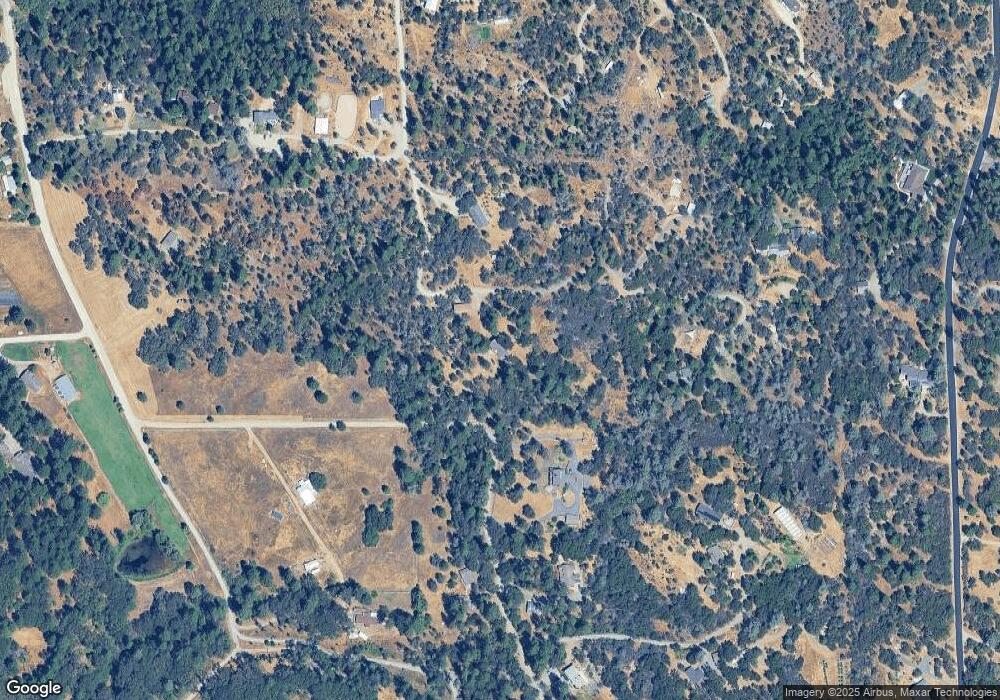
Map
Nearby Homes
- 13560 Hopeful Hill Rd
- 13351 Newtown Rd
- 13433 Newtown Rd
- 12423 Lowhills Rd
- 11790 Lowhills Rd
- 12069 Newtown Rd
- 12141 Newtown Rd
- 11620 Bitney Springs Rd
- 12776 Little Deer Creek Ln
- 12102 Masters Hill Place
- 12787 Mystic Mine Rd
- 0 Bitney Springs Rd
- 11065 White Oak Way
- 12189 Sunset Ave
- 10980 Newtown Rd
- 12404 Deer Park Dr
- 10417 Tasha Rd
- 13207 Ridge Rd
- 768 Morgan Ranch Dr
- 13054 Ridge Rd
- 13433 Kentucky St
- 13065 Avian Place
- 13155 Avian Place
- 13108 Avian Place
- 13107 Avian Place
- 13133 Avian Place
- 12755 Kentucky Flat Rd
- 12771 Newtown Rd
- 12715 Kentucky Flat Rd
- 13117 Kentucky Flat Rd
- 12751 Kentucky Flat Rd
- 12730 Lowhills Rd
- 12767 Newtown Rd
- 13022 Emerald Forest Dr
- 13249 Kentucky Flat Rd
- 12826 Lowhills Rd
- 12620 Kentucky Flat Rd
- 12619 Kentucky Flat Rd