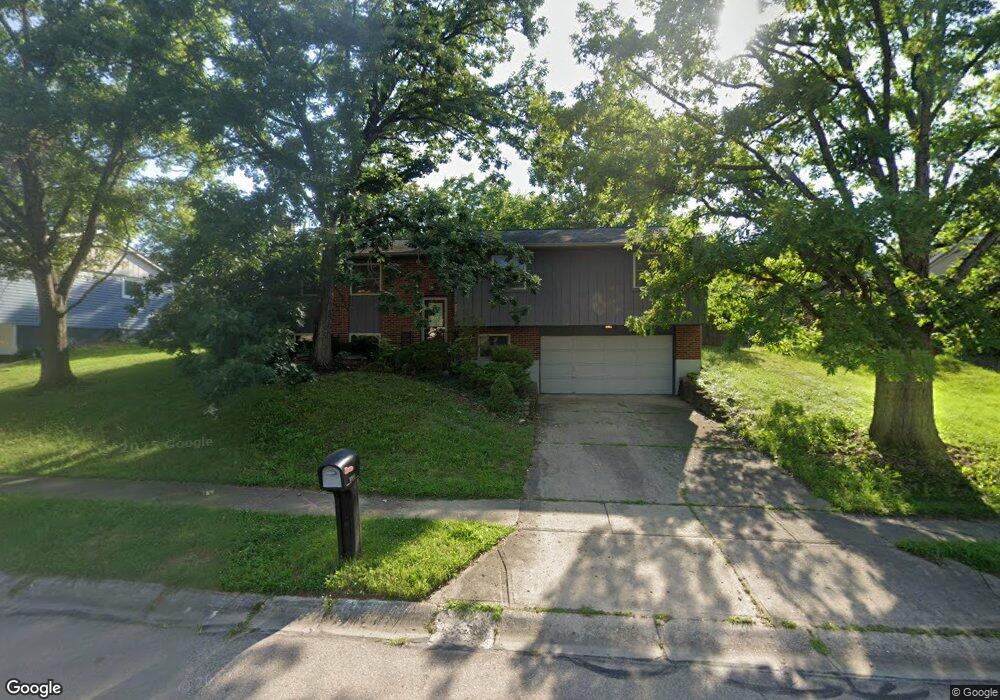
1309 Black Forest Dr Dayton, OH 45449
Estimated Value: $264,000 - $303,000
3
Beds
3
Baths
2,311
Sq Ft
$122/Sq Ft
Est. Value
About This Home
This home is located at 1309 Black Forest Dr, Dayton, OH 45449 and is currently estimated at $282,885, approximately $122 per square foot. 1309 Black Forest Dr is a home located in Montgomery County with nearby schools including West Carrollton High School and Bethel Baptist School.
Ownership History
Date
Name
Owned For
Owner Type
Purchase Details
Closed on
Dec 1, 2021
Sold by
Oliver Rachel
Bought by
Angus Robert M
Current Estimated Value
Purchase Details
Closed on
Aug 2, 2016
Sold by
Cummins Kevin D and Cummins Saybdra K
Bought by
Angus Robert M and Oliver Rachel
Home Financials for this Owner
Home Financials are based on the most recent Mortgage that was taken out on this home.
Original Mortgage
$136,000
Interest Rate
3.41%
Mortgage Type
New Conventional
Purchase Details
Closed on
Sep 3, 1998
Sold by
Zimmer Leo F and Zimmer Dolores M
Bought by
Cummins Kevin D and Cummins Saundra L
Home Financials for this Owner
Home Financials are based on the most recent Mortgage that was taken out on this home.
Original Mortgage
$115,260
Interest Rate
7.04%
Mortgage Type
VA
Create a Home Valuation Report for This Property
The Home Valuation Report is an in-depth analysis detailing your home's value as well as a comparison with similar homes in the area
Home Values in the Area
Average Home Value in this Area
Purchase History
| Date | Buyer | Sale Price | Title Company |
|---|---|---|---|
| Angus Robert M | -- | Landmark Title Agency Inc | |
| Angus Robert M | $160,000 | Landmark Title Agency South | |
| Cummins Kevin D | $113,000 | -- | |
| Cummins Kevin D | $113,000 | -- |
Source: Public Records
Mortgage History
| Date | Status | Borrower | Loan Amount |
|---|---|---|---|
| Previous Owner | Angus Robert M | $136,000 | |
| Previous Owner | Cummins Kevin D | $115,260 |
Source: Public Records
Tax History Compared to Growth
Tax History
| Year | Tax Paid | Tax Assessment Tax Assessment Total Assessment is a certain percentage of the fair market value that is determined by local assessors to be the total taxable value of land and additions on the property. | Land | Improvement |
|---|---|---|---|---|
| 2024 | $4,438 | $73,480 | $11,730 | $61,750 |
| 2023 | $4,438 | $73,480 | $11,730 | $61,750 |
| 2022 | $4,204 | $54,820 | $8,750 | $46,070 |
| 2021 | $4,211 | $54,820 | $8,750 | $46,070 |
| 2020 | $4,210 | $54,820 | $8,750 | $46,070 |
| 2019 | $3,738 | $44,900 | $8,750 | $36,150 |
| 2018 | $3,497 | $44,900 | $8,750 | $36,150 |
| 2017 | $3,472 | $44,900 | $8,750 | $36,150 |
| 2016 | $3,444 | $43,460 | $8,750 | $34,710 |
| 2015 | $3,159 | $43,460 | $8,750 | $34,710 |
| 2014 | $3,159 | $43,460 | $8,750 | $34,710 |
| 2012 | -- | $41,570 | $12,250 | $29,320 |
Source: Public Records
Map
Nearby Homes
- 609 Kings Cross Ct
- 500 Lincoln Green Dr
- 432 Crusader Dr
- 1100 S Elm St
- 1153 King Richard Pkwy
- 2125 Sherwood Forest Dr
- 275 Orchard Hill Dr
- 2302 King Richard Pkwy
- 1606 Pine Tree Ln Unit 38
- 1320 S Alex Rd
- 430 Donington Dr
- 838 Maid Marion Ct
- 1109 Arrowhead Crossing Unit A
- 354 Ellenwood Dr
- 1104 Arrowhead Crossing Unit B
- 1112 Eagle Feather Cir Unit A
- 1803 Cudgell Dr
- 1116 Eagle Feather Cir Unit E
- 2061 Pine Forest Dr
- 700 N Gebhart Church Rd
- 1313 Black Forest Dr
- 1305 Black Forest Dr
- 1368 King Richard Pkwy
- 707 Saint Dunston Ct
- 1364 King Richard Pkwy
- 701 Saint Dunston Ct
- 701 St Dunston Ct
- 1372 King Richard Pkwy
- 1360 King Richard Pkwy
- 1310 Black Forest Dr
- 1306 Black Forest Dr
- 1318 Black Forest Dr
- 1376 King Richard Pkwy
- 712 Saint Dunston Ct
- 1304 Black Forest Dr
- 1322 Black Forest Dr Unit 24
- 1322 Black Forest Dr Unit 23
- 1322 Black Forest Dr Unit 22
- 1361 King Richard Pkwy
- 1325 Black Forest Dr