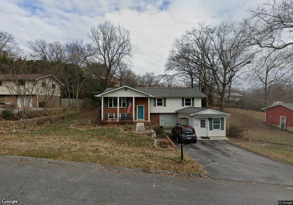
1309 Michael Ln Hixson, TN 37343
Dupont NeighborhoodEstimated Value: $279,917 - $392,000
4
Beds
3
Baths
2,585
Sq Ft
$127/Sq Ft
Est. Value
About This Home
This home is located at 1309 Michael Ln, Hixson, TN 37343 and is currently estimated at $329,229, approximately $127 per square foot. 1309 Michael Ln is a home located in Hamilton County with nearby schools including DuPont Elementary School, Hixson Middle School, and Hixson High School.
Ownership History
Date
Name
Owned For
Owner Type
Purchase Details
Closed on
Oct 6, 2021
Sold by
Engesath Adam and Engesath Alexi
Bought by
Manning Nicole Lynn
Current Estimated Value
Home Financials for this Owner
Home Financials are based on the most recent Mortgage that was taken out on this home.
Original Mortgage
$123,000
Outstanding Balance
$111,432
Interest Rate
2.8%
Mortgage Type
Commercial
Estimated Equity
$217,797
Purchase Details
Closed on
Dec 19, 2006
Sold by
Everett Shipman Kathy A
Bought by
Engesath Adam and Engesath Alexi
Purchase Details
Closed on
Jul 17, 2003
Sold by
Household Financial Services Inc
Bought by
Everett Shipman Kathy A
Purchase Details
Closed on
Dec 30, 2002
Sold by
Himes Robert W and Himes Willie L
Bought by
Household Financial Services Inc
Create a Home Valuation Report for This Property
The Home Valuation Report is an in-depth analysis detailing your home's value as well as a comparison with similar homes in the area
Home Values in the Area
Average Home Value in this Area
Purchase History
| Date | Buyer | Sale Price | Title Company |
|---|---|---|---|
| Manning Nicole Lynn | $163,000 | Title Guaranty & Trust Co | |
| Engesath Adam | $162,800 | First Title | |
| Everett Shipman Kathy A | $98,000 | First American Title Ins Co | |
| Household Financial Services Inc | $92,557 | -- |
Source: Public Records
Mortgage History
| Date | Status | Borrower | Loan Amount |
|---|---|---|---|
| Open | Manning Nicole Lynn | $123,000 |
Source: Public Records
Tax History
| Year | Tax Paid | Tax Assessment Tax Assessment Total Assessment is a certain percentage of the fair market value that is determined by local assessors to be the total taxable value of land and additions on the property. | Land | Improvement |
|---|---|---|---|---|
| 2025 | $1,401 | $92,450 | $0 | $0 |
| 2024 | $870 | $38,900 | $0 | $0 |
| 2023 | $870 | $38,900 | $0 | $0 |
| 2022 | $870 | $38,900 | $0 | $0 |
| 2021 | $870 | $38,900 | $0 | $0 |
| 2020 | $944 | $34,150 | $0 | $0 |
| 2019 | $944 | $34,150 | $0 | $0 |
| 2018 | $904 | $34,150 | $0 | $0 |
| 2017 | $944 | $34,150 | $0 | $0 |
| 2016 | $1,011 | $0 | $0 | $0 |
| 2015 | $1,970 | $36,550 | $0 | $0 |
| 2014 | $1,970 | $0 | $0 | $0 |
Source: Public Records
Map
Nearby Homes
- 1313 Michael Ln
- 4607 Cloverdale Loop
- 810 Forest Dale Ln
- 4981 N Eldridge Rd
- 1304 Highcrest Dr
- 0 Mountain Wood Ln
- 1315 Northgate Cir
- 1416 Highcrest Dr
- 541 Treetop Ln
- 4810 Delashmitt Rd
- 1426 Highcrest Dr
- 4609 Plaza Hills Ln
- 1218 Cranbrook Dr
- 4326 Comet Trail
- 1209 Echo Dr
- 4832 Stagg Rd
- 4714 Metro Park Ln
- 5227 Lawana Ln
- 936 Sherry Cir
- 430 Appian Way
- 1305 Michael Ln
- 1308 Terry Ln
- 1312 Terry Ln
- 1304 Terry Ln
- 1308 Michael Ln
- 1317 Michael Ln
- 1312 Michael Ln
- 1316 Terry Ln
- 1301 Michael Ln
- 1304 Michael Ln
- 1316 Michael Ln
- 1300 Terry Ln
- 1321 Michael Ln
- 1320 Michael Ln
- 1300 Michael Ln
- 1309 Terry Ln
- 1320 Terry Ln
- 1313 Terry Ln
- 1305 Terry Ln
- 1335 Hixson Ave
Your Personal Tour Guide
Ask me questions while you tour the home.