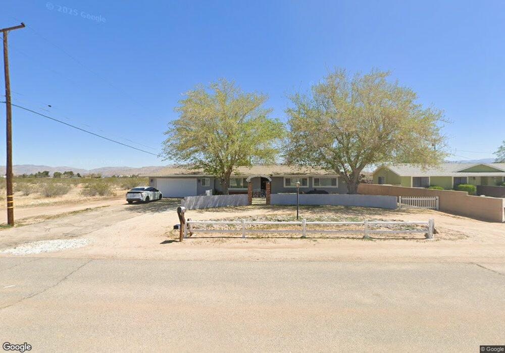
13095 Chief Joseph Rd Apple Valley, CA 92308
High Desert NeighborhoodEstimated Value: $375,000 - $420,000
3
Beds
2
Baths
1,735
Sq Ft
$226/Sq Ft
Est. Value
About This Home
This home is located at 13095 Chief Joseph Rd, Apple Valley, CA 92308 and is currently estimated at $392,753, approximately $226 per square foot. 13095 Chief Joseph Rd is a home located in San Bernardino County with nearby schools including Rancho Verde Elementary School and Apple Valley High School.
Ownership History
Date
Name
Owned For
Owner Type
Purchase Details
Closed on
Sep 28, 2011
Sold by
Estrella Sergio Armando Torres
Bought by
Pineda Rosalynn
Current Estimated Value
Home Financials for this Owner
Home Financials are based on the most recent Mortgage that was taken out on this home.
Original Mortgage
$60,000
Interest Rate
4.09%
Mortgage Type
New Conventional
Purchase Details
Closed on
Sep 20, 2011
Sold by
Schleusner Douglas P and Schleusner Trust
Bought by
Pineda Rosalynn
Home Financials for this Owner
Home Financials are based on the most recent Mortgage that was taken out on this home.
Original Mortgage
$60,000
Interest Rate
4.09%
Mortgage Type
New Conventional
Create a Home Valuation Report for This Property
The Home Valuation Report is an in-depth analysis detailing your home's value as well as a comparison with similar homes in the area
Home Values in the Area
Average Home Value in this Area
Purchase History
| Date | Buyer | Sale Price | Title Company |
|---|---|---|---|
| Pineda Rosalynn | -- | Chicago Title Inland Empire | |
| Pineda Rosalynn | $75,000 | Chicago Title Inland Empire |
Source: Public Records
Mortgage History
| Date | Status | Borrower | Loan Amount |
|---|---|---|---|
| Previous Owner | Pineda Rosalynn | $60,000 |
Source: Public Records
Tax History Compared to Growth
Tax History
| Year | Tax Paid | Tax Assessment Tax Assessment Total Assessment is a certain percentage of the fair market value that is determined by local assessors to be the total taxable value of land and additions on the property. | Land | Improvement |
|---|---|---|---|---|
| 2025 | $1,185 | $94,205 | $28,262 | $65,943 |
| 2024 | $1,185 | $92,358 | $27,708 | $64,650 |
| 2023 | $1,173 | $90,547 | $27,165 | $63,382 |
| 2022 | $1,155 | $88,771 | $26,632 | $62,139 |
| 2021 | $1,129 | $87,031 | $26,110 | $60,921 |
| 2020 | $1,114 | $86,138 | $25,842 | $60,296 |
| 2019 | $1,094 | $84,449 | $25,335 | $59,114 |
| 2018 | $1,067 | $82,793 | $24,838 | $57,955 |
| 2017 | $1,052 | $81,170 | $24,351 | $56,819 |
| 2016 | $977 | $79,579 | $23,874 | $55,705 |
| 2015 | $962 | $78,383 | $23,515 | $54,868 |
| 2014 | $949 | $76,847 | $23,054 | $53,793 |
Source: Public Records
Map
Nearby Homes
- 13076 Chief Joseph Rd
- 12945 Osage Rd
- 0 Chief Joseph Rd
- 13252 Navajo Rd
- 22020 Nisqually Rd Unit 3
- 22020 Nisqually Rd Unit 49
- 21922 Ottawa Rd Unit 13
- 21922 Ottawa Rd Unit 16
- 21928 Maumee Rd
- 13581 Yakima Rd
- 0 Nomwaket Rd
- 0 Eyota Rd
- 0 Little Beaver Rd Unit HD25073438
- 12848 Clallam Rd
- 22241 Nisqually Rd Unit 118
- 22241 Nisqually Rd Unit 121
- 22241 Nisqually Rd Unit 38
- 22241 Nisqually Rd Unit 20
- 22241 Nisqually Rd Unit 98
- 22241 Nisqually Rd Unit 169
- 13075 Chief Joseph Rd
- 13096 Pawnee Rd
- 13076 Pawnee Rd
- 21858 Ojai Rd
- 13096 Chief Joseph Rd
- 13062 Pawnee Rd
- 21828 Ojai Rd
- 13033 Chief Joseph Rd
- 13093 Pawnee Rd
- 0 Ojai Rd
- 13095 Osage Rd
- 13034 Pawnee Rd
- 13075 Osage Rd
- 13034 Chief Joseph Rd
- 13061 Osage Rd
- 13019 Chief Joseph Rd
- 13020 Pawnee Rd
- 13020 Chief Joseph Rd
- 13033 Osage Rd
- 13097 Pawnee Rd