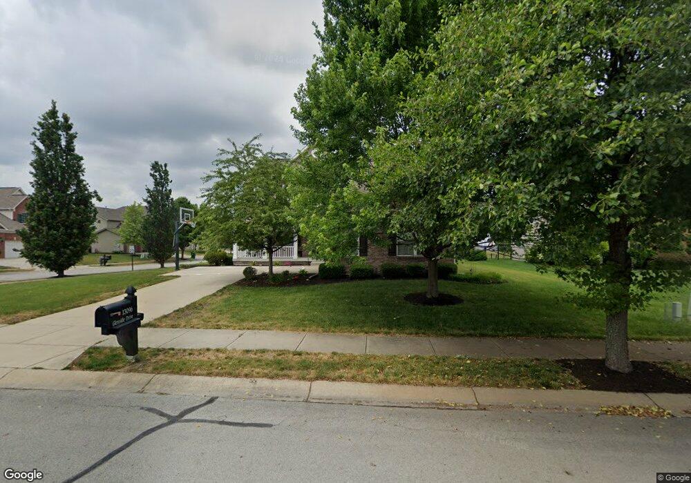
13096 Glenside Dr Fishers, IN 46037
Estimated Value: $444,714 - $496,000
4
Beds
3
Baths
2,408
Sq Ft
$197/Sq Ft
Est. Value
About This Home
This home is located at 13096 Glenside Dr, Fishers, IN 46037 and is currently estimated at $473,929, approximately $196 per square foot. 13096 Glenside Dr is a home located in Hamilton County with nearby schools including Hickok Elementary School, Fall Creek Elementary School, and Fall Creek Intermediate School.
Ownership History
Date
Name
Owned For
Owner Type
Purchase Details
Closed on
Mar 7, 2009
Sold by
Ragsdale Jason W and Ragsdale Kristi M
Bought by
Hampton Robert and Hampton Angela
Current Estimated Value
Home Financials for this Owner
Home Financials are based on the most recent Mortgage that was taken out on this home.
Original Mortgage
$226,816
Interest Rate
4.84%
Mortgage Type
FHA
Purchase Details
Closed on
Feb 23, 2007
Sold by
Rh Of Indiana Lp
Bought by
Ragsdale Jason W and Ragsdale Kristi M
Home Financials for this Owner
Home Financials are based on the most recent Mortgage that was taken out on this home.
Original Mortgage
$195,920
Interest Rate
6.27%
Mortgage Type
Purchase Money Mortgage
Purchase Details
Closed on
Sep 26, 2006
Sold by
Boomerang Development Llc
Bought by
Rh Of Indiana Lp
Create a Home Valuation Report for This Property
The Home Valuation Report is an in-depth analysis detailing your home's value as well as a comparison with similar homes in the area
Home Values in the Area
Average Home Value in this Area
Purchase History
| Date | Buyer | Sale Price | Title Company |
|---|---|---|---|
| Hampton Robert | -- | First American Title | |
| Ragsdale Jason W | -- | None Available | |
| Rh Of Indiana Lp | -- | None Available |
Source: Public Records
Mortgage History
| Date | Status | Borrower | Loan Amount |
|---|---|---|---|
| Previous Owner | Hampton Robert | $226,816 | |
| Previous Owner | Ragsdale Jason W | $195,920 |
Source: Public Records
Tax History Compared to Growth
Tax History
| Year | Tax Paid | Tax Assessment Tax Assessment Total Assessment is a certain percentage of the fair market value that is determined by local assessors to be the total taxable value of land and additions on the property. | Land | Improvement |
|---|---|---|---|---|
| 2024 | $3,880 | $351,300 | $78,000 | $273,300 |
| 2023 | $3,880 | $346,400 | $78,000 | $268,400 |
| 2022 | $3,880 | $324,600 | $78,000 | $246,600 |
| 2021 | $3,422 | $287,400 | $78,000 | $209,400 |
| 2020 | $3,252 | $269,800 | $78,000 | $191,800 |
| 2019 | $3,160 | $262,300 | $59,000 | $203,300 |
| 2018 | $3,060 | $253,600 | $59,000 | $194,600 |
| 2017 | $3,000 | $252,600 | $59,000 | $193,600 |
| 2016 | $2,895 | $244,100 | $59,000 | $185,100 |
| 2014 | $2,529 | $234,300 | $59,000 | $175,300 |
| 2013 | $2,529 | $231,300 | $59,000 | $172,300 |
Source: Public Records
Map
Nearby Homes
- 13128 Glenside Dr
- 12994 Dekoven Dr
- 12997 Bartlett Dr
- 12964 Walbeck Dr
- 12957 E 131st St
- 12419 Brandamore Ln
- 13276 E Lieder Way
- 13288 E Lieder Way
- 13311 Susser Way
- 12670 E 131st St
- 12438 Hawks Landing Dr
- 12599 Brookdale Dr
- 13315 Patriotic Way
- 12985 Saxony Blvd
- 12604 Brooks School Rd
- 12890 Old Glory Dr
- 13091 Duval Dr
- 12607 Courage Crossing
- 13484 Molique Blvd
- 12649 Endurance Dr
- 13112 Glenside Dr
- 13093 Carnaby Place
- 12778 Balbo Place
- 12766 Balbo Place
- 13099 Carnaby Place
- 12792 Balbo Place
- 12754 Balbo Place
- 13097 Glenside Dr
- 13105 Glenside Dr
- 12802 Balbo Place
- 13144 Glenside Dr
- 13113 Glenside Dr
- 13107 Carnaby Place
- 12742 Balbo Place
- 13129 Glenside Dr
- 12767 Federal Place
- 12751 Federal Place
- 12729 Balbo Place
- 12783 Federal Place
- 13160 Glenside Dr