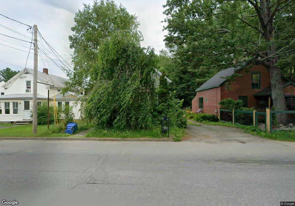
131 1st Rangeway Waterville, ME 04901
Estimated Value: $177,032 - $222,000
3
Beds
1
Bath
1,172
Sq Ft
$171/Sq Ft
Est. Value
About This Home
This home is located at 131 1st Rangeway, Waterville, ME 04901 and is currently estimated at $200,008, approximately $170 per square foot. 131 1st Rangeway is a home located in Kennebec County with nearby schools including George J. Mitchell School, Albert S. Hall School, and Waterville Junior High School.
Ownership History
Date
Name
Owned For
Owner Type
Purchase Details
Closed on
Sep 1, 2006
Sold by
Frankenfield David R
Bought by
Smith Amanda S and Smith Matthew G
Current Estimated Value
Home Financials for this Owner
Home Financials are based on the most recent Mortgage that was taken out on this home.
Original Mortgage
$69,700
Outstanding Balance
$41,789
Interest Rate
6.83%
Mortgage Type
Purchase Money Mortgage
Estimated Equity
$158,219
Create a Home Valuation Report for This Property
The Home Valuation Report is an in-depth analysis detailing your home's value as well as a comparison with similar homes in the area
Home Values in the Area
Average Home Value in this Area
Purchase History
| Date | Buyer | Sale Price | Title Company |
|---|---|---|---|
| Smith Amanda S | -- | -- |
Source: Public Records
Mortgage History
| Date | Status | Borrower | Loan Amount |
|---|---|---|---|
| Open | Smith Amanda S | $69,700 |
Source: Public Records
Tax History
| Year | Tax Paid | Tax Assessment Tax Assessment Total Assessment is a certain percentage of the fair market value that is determined by local assessors to be the total taxable value of land and additions on the property. | Land | Improvement |
|---|---|---|---|---|
| 2025 | $2,361 | $138,900 | $21,100 | $117,800 |
| 2024 | $2,132 | $106,600 | $16,200 | $90,400 |
| 2023 | $2,121 | $106,600 | $16,200 | $90,400 |
| 2022 | $1,401 | $54,200 | $12,200 | $42,000 |
| 2021 | $770 | $54,200 | $12,200 | $42,000 |
| 2020 | $1,396 | $54,200 | $12,200 | $42,000 |
| 2019 | $1,396 | $54,200 | $12,200 | $42,000 |
| 2018 | $220 | $54,200 | $12,200 | $42,000 |
| 2017 | $1,264 | $54,200 | $12,200 | $42,000 |
| 2016 | $1,236 | $54,200 | $12,200 | $42,000 |
| 2015 | $1,674 | $60,200 | $14,000 | $46,200 |
| 2014 | $1,649 | $60,200 | $14,000 | $46,200 |
| 2013 | $1,649 | $60,200 | $14,000 | $46,200 |
Source: Public Records
Map
Nearby Homes
- 10 Edgewood St
- 11 Russell St
- 122 Western Ave
- 11 Averill Terrace
- 35 Oakland St
- 28 Mathews Ave
- 8 Forest Park
- 14 Mathews Ave
- 1 Eaton Dr
- 28 1st Rangeway
- 97 Merryfield Ave
- 55 Western Ave
- 25 Kennedy Memorial Dr
- 119 Cool St
- 4 Westview Dr
- 18 Pleasant St
- 5 Collette St
- 12 Edgemont Ave
- 23 West St
- 47 Sanger Ave
- 133 1st Rangeway
- 127 1st Rangeway
- 130 1st Rangeway
- 148 Western Ave
- 150 Western Ave
- 124 1st Rangeway
- 146 Western Ave
- 65 Francis St
- 63 Francis St
- 1 Chase Gate Rd
- 2 Chase Ave
- 71 Francis St
- 61 Francis St
- 144 Western Ave
- 4 Chase Ave
- 142 Western Ave
- 145 Western Ave
- 59 Francis St
- 6 Chase Ave
- 139 1st Rangeway
Your Personal Tour Guide
Ask me questions while you tour the home.