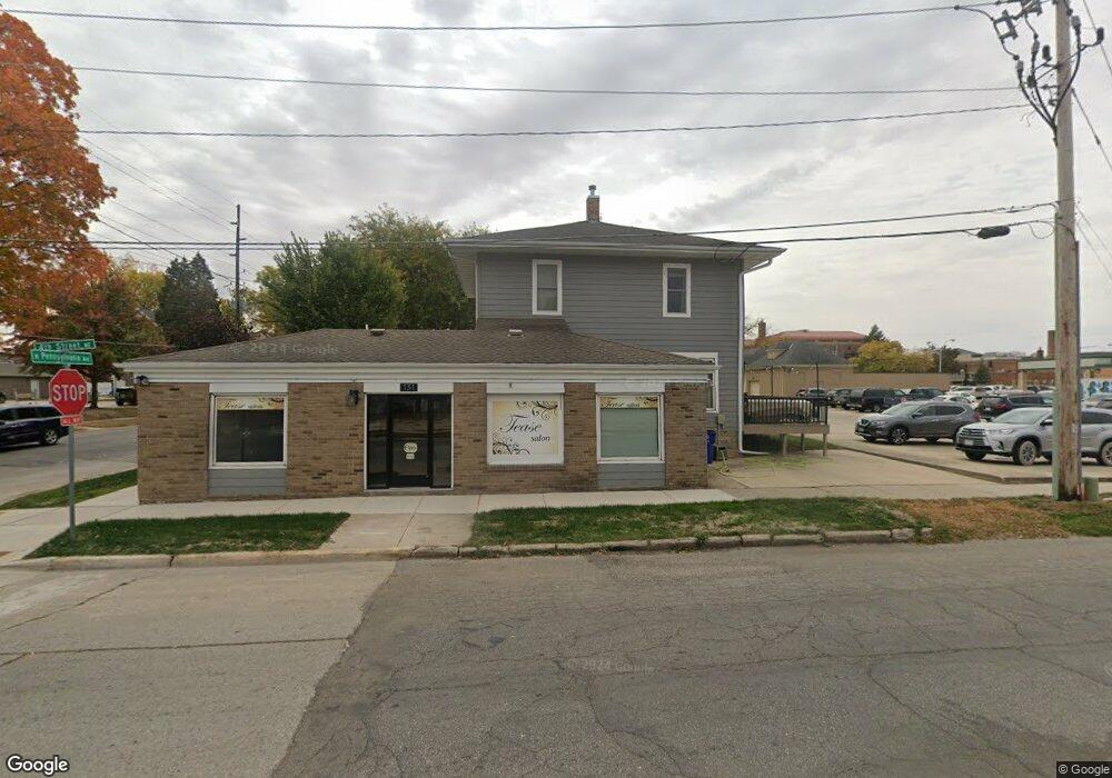
131 4th St NE Mason City, IA 50401
Estimated Value: $124,000 - $188,000
3
Beds
1
Bath
800
Sq Ft
$194/Sq Ft
Est. Value
About This Home
This home is located at 131 4th St NE, Mason City, IA 50401 and is currently estimated at $155,461, approximately $194 per square foot. 131 4th St NE is a home located in Cerro Gordo County with nearby schools including Mason City High School, North Iowa Christian School, and Mason City Seventh Day Adventi.
Ownership History
Date
Name
Owned For
Owner Type
Purchase Details
Closed on
Oct 24, 2011
Sold by
Rodriguez Investment Co Llc
Bought by
Manwarren Nicole J
Current Estimated Value
Home Financials for this Owner
Home Financials are based on the most recent Mortgage that was taken out on this home.
Original Mortgage
$62,300
Outstanding Balance
$24,595
Interest Rate
4.12%
Mortgage Type
Purchase Money Mortgage
Estimated Equity
$130,866
Create a Home Valuation Report for This Property
The Home Valuation Report is an in-depth analysis detailing your home's value as well as a comparison with similar homes in the area
Home Values in the Area
Average Home Value in this Area
Purchase History
| Date | Buyer | Sale Price | Title Company |
|---|---|---|---|
| Manwarren Nicole J | $89,000 | None Available | |
| Manwarre Nicole J | $89,000 | None Available |
Source: Public Records
Mortgage History
| Date | Status | Borrower | Loan Amount |
|---|---|---|---|
| Open | Manwarre Nicole J | $62,300 | |
| Closed | Manwarre Nicole J | $62,300 |
Source: Public Records
Tax History Compared to Growth
Tax History
| Year | Tax Paid | Tax Assessment Tax Assessment Total Assessment is a certain percentage of the fair market value that is determined by local assessors to be the total taxable value of land and additions on the property. | Land | Improvement |
|---|---|---|---|---|
| 2024 | $2,632 | $174,590 | $11,670 | $162,920 |
| 2023 | $630 | $174,590 | $11,670 | $162,920 |
| 2022 | $646 | $134,540 | $8,980 | $125,560 |
| 2021 | $688 | $125,500 | $8,980 | $116,520 |
| 2020 | $1,098 | $110,210 | $8,980 | $101,230 |
| 2019 | $642 | $0 | $0 | $0 |
| 2018 | $628 | $0 | $0 | $0 |
| 2017 | $544 | $0 | $0 | $0 |
| 2016 | $428 | $0 | $0 | $0 |
| 2015 | $428 | $0 | $0 | $0 |
| 2014 | $1,282 | $0 | $0 | $0 |
| 2013 | $1,316 | $0 | $0 | $0 |
Source: Public Records
Map
Nearby Homes
- 415 N Massachusetts Ave
- 32 6th St NW
- 102 S Connecticut Ave Unit A-E
- 311 10th St NE
- 210 1st St SW
- 721 N Jefferson Ave
- 636 2nd St NE
- 5 Willow Dr
- 215 9th St NW
- 323 6th St NW
- 221 9th St NW
- 1032 N Georgia Ave
- 222 9th St NW
- 522 N Madison Ave
- 128 10th St NW
- 682 3rd St NE
- 635 10th St NE
- 634 3rd St SE
- 341 S Carolina Ave
- 413 S Carolina Ave
- 321 N Pennsylvania Ave
- 315 N Pennsylvania Ave
- 410 N Pennsylvania Ave
- 316 N Pennsylvania Ave
- 205 4th St NE
- 206 4th St NE
- 116 4th St NE
- 206 3rd St NE
- 126 3rd St NE
- 416 N Pennsylvania Ave
- 208 3rd St NE
- 210 4th St NE
- 215 4th St NE
- 123 5th St NW
- 219 4th St NE
- 415 N Pennsylvania Ave
- 218 4th St NE
- 407 N Delaware Ave
- 220 3rd St NE
- 221 4th St NE