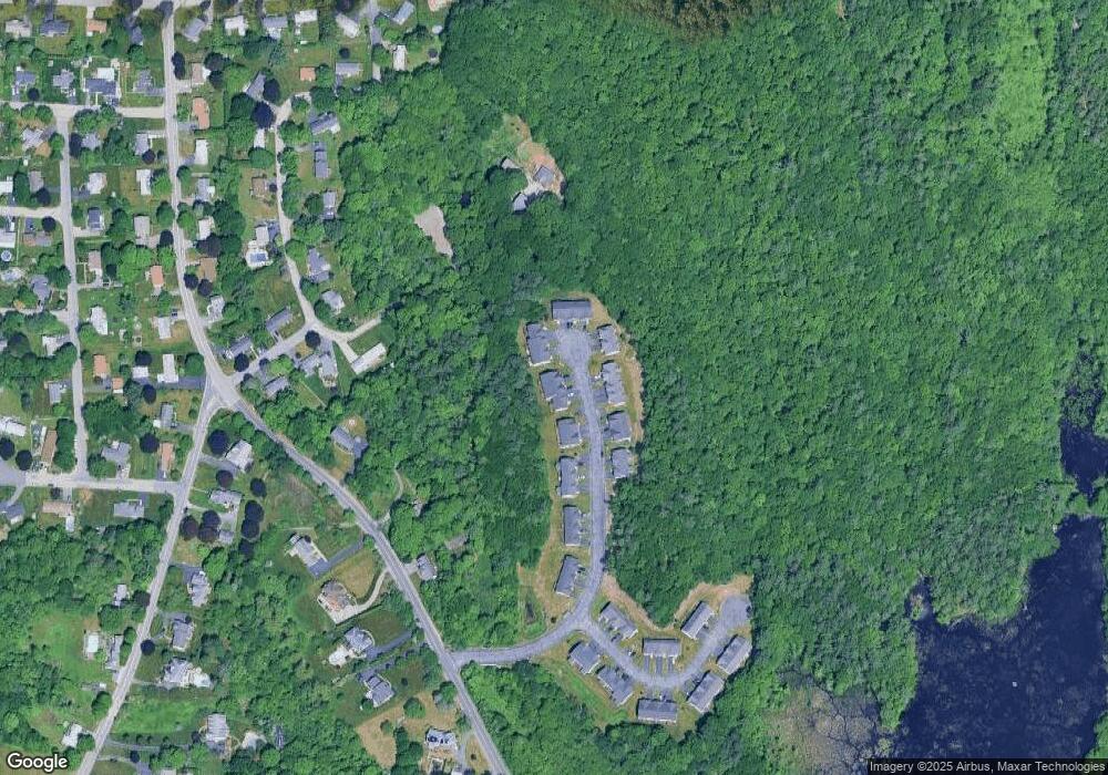
131 Afra Dr Unit 39 West Boylston, MA 01583
Estimated Value: $562,000 - $687,386
3
Beds
3
Baths
2,500
Sq Ft
$251/Sq Ft
Est. Value
About This Home
This home is located at 131 Afra Dr Unit 39, West Boylston, MA 01583 and is currently estimated at $628,097, approximately $251 per square foot. 131 Afra Dr Unit 39 is a home located in Worcester County with nearby schools including Major Edwards Elementary School, West Boylston Junior/Senior High School, and Abby Kelley Foster Charter Public School.
Ownership History
Date
Name
Owned For
Owner Type
Purchase Details
Closed on
Aug 30, 2024
Sold by
Whalers Re Intl Ltd
Bought by
Junior Itari R and Alves Luciene W
Current Estimated Value
Home Financials for this Owner
Home Financials are based on the most recent Mortgage that was taken out on this home.
Original Mortgage
$356,475
Outstanding Balance
$352,034
Interest Rate
6.77%
Mortgage Type
Purchase Money Mortgage
Estimated Equity
$276,063
Purchase Details
Closed on
Sep 28, 2011
Sold by
Afra Terrace Llc
Bought by
Whalers Real Estate In
Purchase Details
Closed on
May 9, 2007
Sold by
Nigha Rt and Ali
Bought by
Afra Terrace Llc
Create a Home Valuation Report for This Property
The Home Valuation Report is an in-depth analysis detailing your home's value as well as a comparison with similar homes in the area
Home Values in the Area
Average Home Value in this Area
Purchase History
| Date | Buyer | Sale Price | Title Company |
|---|---|---|---|
| Junior Itari R | $367,500 | None Available | |
| Junior Itari R | $367,500 | None Available | |
| Whalers Real Estate In | $356,000 | -- | |
| Whalers Real Estate In | $356,000 | -- | |
| Afra Terrace Llc | -- | -- | |
| Afra Terrace Llc | -- | -- |
Source: Public Records
Mortgage History
| Date | Status | Borrower | Loan Amount |
|---|---|---|---|
| Open | Junior Itari R | $356,475 | |
| Closed | Junior Itari R | $356,475 |
Source: Public Records
Tax History Compared to Growth
Tax History
| Year | Tax Paid | Tax Assessment Tax Assessment Total Assessment is a certain percentage of the fair market value that is determined by local assessors to be the total taxable value of land and additions on the property. | Land | Improvement |
|---|---|---|---|---|
| 2025 | $84 | $604,600 | $0 | $604,600 |
| 2024 | $7,774 | $526,000 | $0 | $526,000 |
| 2023 | $7,534 | $483,600 | $0 | $483,600 |
| 2022 | $7,383 | $417,600 | $0 | $417,600 |
| 2021 | $7,508 | $406,700 | $0 | $406,700 |
| 2020 | $7,196 | $387,300 | $0 | $387,300 |
| 2019 | $7,301 | $387,300 | $0 | $387,300 |
| 2018 | $6,953 | $371,400 | $0 | $371,400 |
| 2017 | $6,982 | $371,400 | $0 | $371,400 |
| 2016 | $6,374 | $345,500 | $0 | $345,500 |
| 2015 | $6,005 | $327,400 | $0 | $327,400 |
Source: Public Records
Map
Nearby Homes
- 1 Highland Ave
- 62 Maple St
- 54 Maple St
- 12 Birchbrush Ln
- 156 Hillside Village Dr
- 740 Burncoat St Unit B
- 39 Davidson Rd
- 83 Hillside Village Dr
- 152 Worcester St Unit 8
- 97 Hillside Village Dr
- 59 Santoro Rd
- 33 Meola Ave
- 39 Meola Ave
- 1110 W Boylston St Unit A
- 33 Isleboro St
- 1097 W Boylston St
- 29 Isleboro St
- 44 Dixfield St
- 156 Prospect St
- 31 Danielles Way