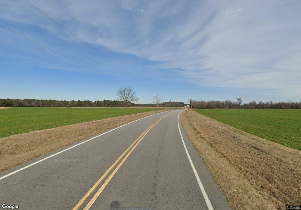
131 Angier Hwy Benson, NC 27504
Estimated Value: $188,000 - $351,000
3
Beds
2
Baths
1,976
Sq Ft
$152/Sq Ft
Est. Value
About This Home
This home is located at 131 Angier Hwy, Benson, NC 27504 and is currently estimated at $299,575, approximately $151 per square foot. 131 Angier Hwy is a home located in Johnston County with nearby schools including Benson Elementary School, Benson Middle School, and South Johnston High School.
Ownership History
Date
Name
Owned For
Owner Type
Purchase Details
Closed on
Jul 23, 2019
Sold by
Cox Jason R and Cox Jenny Marie
Bought by
Cox Jason R and Cox Jenny Marie
Current Estimated Value
Home Financials for this Owner
Home Financials are based on the most recent Mortgage that was taken out on this home.
Original Mortgage
$162,000
Outstanding Balance
$141,926
Interest Rate
3.82%
Mortgage Type
New Conventional
Estimated Equity
$157,649
Purchase Details
Closed on
Jun 27, 2017
Sold by
Kinkade Rebecca Boyette and Kinkade Roger C
Bought by
Moore Christopher D and Rizzo Jennie T
Purchase Details
Closed on
Apr 10, 2015
Sold by
Llbbd Llc
Bought by
Cox Jason R
Purchase Details
Closed on
May 12, 2006
Sold by
Duncan Braxton Carter and Parrish Gwendolyn Haswell
Bought by
Moore Marilyn Jones
Create a Home Valuation Report for This Property
The Home Valuation Report is an in-depth analysis detailing your home's value as well as a comparison with similar homes in the area
Home Values in the Area
Average Home Value in this Area
Purchase History
| Date | Buyer | Sale Price | Title Company |
|---|---|---|---|
| Cox Jason R | -- | None Available | |
| Moore Christopher D | $189,500 | None Available | |
| Cox Jason R | $75,000 | None Available | |
| Moore Marilyn Jones | -- | None Available |
Source: Public Records
Mortgage History
| Date | Status | Borrower | Loan Amount |
|---|---|---|---|
| Open | Cox Jason R | $162,000 |
Source: Public Records
Tax History Compared to Growth
Tax History
| Year | Tax Paid | Tax Assessment Tax Assessment Total Assessment is a certain percentage of the fair market value that is determined by local assessors to be the total taxable value of land and additions on the property. | Land | Improvement |
|---|---|---|---|---|
| 2025 | $2,375 | $238,420 | $110,030 | $128,390 |
| 2024 | $1,861 | $142,860 | $57,770 | $85,090 |
| 2023 | $1,800 | $142,860 | $57,770 | $85,090 |
| 2022 | $2,053 | $142,860 | $57,770 | $85,090 |
| 2021 | $1,857 | $142,860 | $57,770 | $85,090 |
| 2020 | $1,944 | $142,860 | $57,770 | $85,090 |
| 2019 | $1,948 | $142,860 | $57,770 | $85,090 |
| 2018 | $1,804 | $129,450 | $44,010 | $85,440 |
| 2017 | $1,786 | $127,530 | $44,010 | $83,520 |
| 2016 | $1,795 | $127,530 | $44,010 | $83,520 |
| 2015 | $1,722 | $127,530 | $44,010 | $83,520 |
| 2014 | $1,722 | $127,530 | $44,010 | $83,520 |
Source: Public Records
Map
Nearby Homes
- 166 Tarheel Rd
- 230 Wendy Place
- 294 White Azalea Way
- 272 White Azalea Way
- 236 White Azalea Way
- 120 Crystal Place
- Colfax Plan at Weddington
- Davidson Plan at Weddington
- Avery Plan at Weddington
- Asheboro Plan at Weddington
- Cooper Plan at Weddington
- Cypress Plan at Weddington
- Wescott Plan at Weddington
- 107 Oak Park Dr
- 110 Oak Park Dr
- 103 Hunterwood Place
- 37 Gardenia Ct
- 115 Hunterwood Place
- 124 Hunterwood Place
- 14 Atlantic Ave
- 107 Angier Hwy
- 422 Railroad Rd
- 404 Railroad Rd
- 380 Railroad Rd
- 462 Railroad
- 435 Railroad Rd
- 435 Railroad Rd
- 484 Railroad Rd
- 484 Railroad Rd
- 445 Railroad Rd
- 445 Railroad Rd
- 407 Railroad Rd
- 461 Railroad Rd
- 499 Railroad
- 000 Farmer Dr
- 0 Railroad Rd Unit 1617277
- 0 Railroad Rd Unit TR1966128
- 000 Railroad Rd
- 310 Railroad Rd
- 400 Railroad Rd
