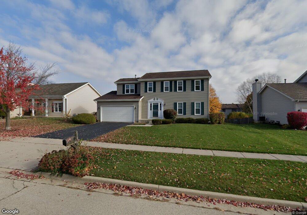
131 Barnes Rd Elgin, IL 60124
Far West Elgin NeighborhoodEstimated Value: $417,829 - $450,000
4
Beds
3
Baths
1,856
Sq Ft
$233/Sq Ft
Est. Value
About This Home
This home is located at 131 Barnes Rd, Elgin, IL 60124 and is currently estimated at $433,207, approximately $233 per square foot. 131 Barnes Rd is a home located in Kane County with nearby schools including Country Trails Elementary School, Prairie Knolls Middle School, and Central Middle School.
Ownership History
Date
Name
Owned For
Owner Type
Purchase Details
Closed on
Jun 18, 1998
Sold by
Randall Ridge Iv Ltd Partnership
Bought by
Dimoplon Gloria
Current Estimated Value
Home Financials for this Owner
Home Financials are based on the most recent Mortgage that was taken out on this home.
Original Mortgage
$150,000
Outstanding Balance
$30,453
Interest Rate
7.22%
Estimated Equity
$402,754
Create a Home Valuation Report for This Property
The Home Valuation Report is an in-depth analysis detailing your home's value as well as a comparison with similar homes in the area
Home Values in the Area
Average Home Value in this Area
Purchase History
| Date | Buyer | Sale Price | Title Company |
|---|---|---|---|
| Dimoplon Gloria | $188,000 | Chicago Title Insurance Co |
Source: Public Records
Mortgage History
| Date | Status | Borrower | Loan Amount |
|---|---|---|---|
| Open | Dimoplon Gloria | $150,000 |
Source: Public Records
Tax History
| Year | Tax Paid | Tax Assessment Tax Assessment Total Assessment is a certain percentage of the fair market value that is determined by local assessors to be the total taxable value of land and additions on the property. | Land | Improvement |
|---|---|---|---|---|
| 2024 | $8,555 | $113,418 | $28,317 | $85,101 |
| 2023 | $8,110 | $102,464 | $25,582 | $76,882 |
| 2022 | $7,897 | $93,429 | $23,326 | $70,103 |
| 2021 | $7,594 | $87,349 | $21,808 | $65,541 |
| 2020 | $7,344 | $83,388 | $20,819 | $62,569 |
| 2019 | $7,089 | $79,432 | $19,831 | $59,601 |
| 2018 | $6,686 | $74,830 | $18,682 | $56,148 |
| 2017 | $7,027 | $76,639 | $17,661 | $58,978 |
| 2016 | $6,948 | $71,101 | $16,385 | $54,716 |
| 2015 | -- | $65,170 | $15,018 | $50,152 |
| 2014 | -- | $57,432 | $14,833 | $42,599 |
| 2013 | -- | $58,947 | $15,224 | $43,723 |
Source: Public Records
Map
Nearby Homes
- 2865 Winchester Dr
- 2829 Randall Ridge Dr
- 3032 Long Common Pkwy
- 2705 Colonial Dr
- 3340 Cameron Dr Unit 176
- 11N060 Johnstown Rd
- 3390 Cameron Dr
- 3388 Sanctuary Dr Unit 52
- 3619 Daisy Ln
- 40 Acres Randall Rd
- 3316 Highwood Ct
- 1855 Diamond Dr
- 1849 Diamond Dr
- 218 Middleton Ct
- 519 Shagbark Dr
- 250 Water Lily Ln
- 233 Pawtucket Ave
- Lot 1 Highland Springs Dr
- 640 Highland Springs Dr
- 3311 Lafayette St