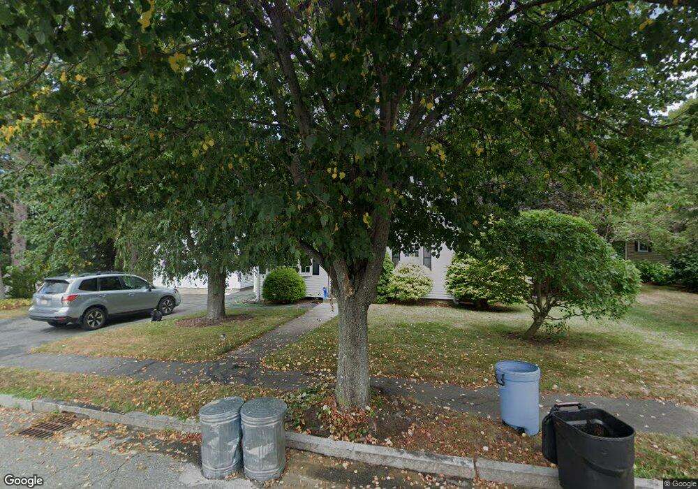
131 Berkley St Waltham, MA 02451
North Waltham NeighborhoodEstimated Value: $880,460 - $995,000
3
Beds
3
Baths
2,201
Sq Ft
$428/Sq Ft
Est. Value
About This Home
This home is located at 131 Berkley St, Waltham, MA 02451 and is currently estimated at $941,365, approximately $427 per square foot. 131 Berkley St is a home located in Middlesex County with nearby schools including Douglas Macarthur Elementary School, John F Kennedy Middle School, and Waltham Sr High School.
Ownership History
Date
Name
Owned For
Owner Type
Purchase Details
Closed on
Jul 6, 2011
Sold by
Babcock Arthur J and Babcock Marjory A
Bought by
Quigley Ryan A
Current Estimated Value
Home Financials for this Owner
Home Financials are based on the most recent Mortgage that was taken out on this home.
Original Mortgage
$360,000
Outstanding Balance
$248,719
Interest Rate
4.6%
Mortgage Type
Purchase Money Mortgage
Estimated Equity
$692,646
Purchase Details
Closed on
May 22, 1989
Sold by
Dunham Leo F
Bought by
Babcock Arthur
Home Financials for this Owner
Home Financials are based on the most recent Mortgage that was taken out on this home.
Original Mortgage
$156,000
Interest Rate
10.97%
Mortgage Type
Purchase Money Mortgage
Create a Home Valuation Report for This Property
The Home Valuation Report is an in-depth analysis detailing your home's value as well as a comparison with similar homes in the area
Home Values in the Area
Average Home Value in this Area
Purchase History
| Date | Buyer | Sale Price | Title Company |
|---|---|---|---|
| Quigley Ryan A | $450,000 | -- | |
| Babcock Arthur | $195,000 | -- |
Source: Public Records
Mortgage History
| Date | Status | Borrower | Loan Amount |
|---|---|---|---|
| Open | Quigley Ryan A | $360,000 | |
| Previous Owner | Babcock Arthur | $145,000 | |
| Previous Owner | Babcock Arthur | $153,900 | |
| Previous Owner | Babcock Arthur | $156,000 |
Source: Public Records
Tax History Compared to Growth
Tax History
| Year | Tax Paid | Tax Assessment Tax Assessment Total Assessment is a certain percentage of the fair market value that is determined by local assessors to be the total taxable value of land and additions on the property. | Land | Improvement |
|---|---|---|---|---|
| 2025 | $7,571 | $771,000 | $462,200 | $308,800 |
| 2024 | $7,233 | $750,300 | $441,700 | $308,600 |
| 2023 | $7,175 | $695,300 | $400,800 | $294,500 |
| 2022 | $7,073 | $634,900 | $359,900 | $275,000 |
| 2021 | $6,999 | $618,300 | $359,900 | $258,400 |
| 2020 | $7,421 | $583,900 | $335,400 | $248,500 |
| 2019 | $6,979 | $551,300 | $331,300 | $220,000 |
| 2018 | $7,203 | $510,200 | $306,800 | $203,400 |
| 2017 | $6,048 | $481,500 | $278,100 | $203,400 |
| 2016 | $5,694 | $465,200 | $261,800 | $203,400 |
| 2015 | $5,284 | $402,400 | $229,000 | $173,400 |
Source: Public Records
Map
Nearby Homes
- 14 Benjamin Rd
- 15 Kings Way Unit 25
- 98 Seminole Ave
- 28 Goldencrest Ave
- 249 Lake St
- 234 Lake St
- 463 Lincoln St
- 30 Wampum Ave
- 1105 Lexington St Unit 102
- 102 Milner St
- 129 Lake St
- 92 Milner St
- 30 Jacqueline Rd Unit C
- 5 April Ln Unit 12
- 11 Autumn Ln
- 28 Hillcrest St
- 65 Montclair Ave
- 311 Concord Ave
- 14 Piedmont Ave
- 15 Cedarcroft Ln