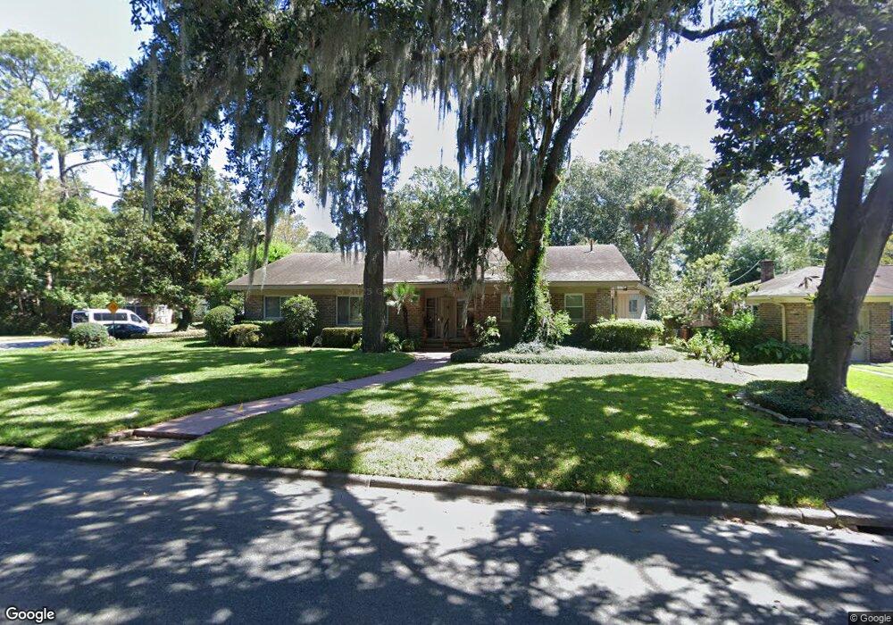
131 Brandywine Rd Savannah, GA 31405
Abercorn Heights-Lamara Heights NeighborhoodEstimated Value: $490,639 - $610,000
4
Beds
3
Baths
2,520
Sq Ft
$219/Sq Ft
Est. Value
About This Home
This home is located at 131 Brandywine Rd, Savannah, GA 31405 and is currently estimated at $551,410, approximately $218 per square foot. 131 Brandywine Rd is a home located in Chatham County with nearby schools including Jacob G. Smith Elementary School, Myers Middle School, and Beach High School.
Ownership History
Date
Name
Owned For
Owner Type
Purchase Details
Closed on
Feb 12, 2019
Sold by
Port City Investors Llc
Bought by
Faber Paulette
Current Estimated Value
Purchase Details
Closed on
Jun 3, 2015
Sold by
Pos Mark D
Bought by
Port City Investors Llc
Home Financials for this Owner
Home Financials are based on the most recent Mortgage that was taken out on this home.
Original Mortgage
$77,500
Interest Rate
3.88%
Mortgage Type
New Conventional
Create a Home Valuation Report for This Property
The Home Valuation Report is an in-depth analysis detailing your home's value as well as a comparison with similar homes in the area
Home Values in the Area
Average Home Value in this Area
Purchase History
| Date | Buyer | Sale Price | Title Company |
|---|---|---|---|
| Faber Paulette | -- | -- | |
| Port City Investors Llc | -- | -- |
Source: Public Records
Mortgage History
| Date | Status | Borrower | Loan Amount |
|---|---|---|---|
| Previous Owner | Port City Investors Llc | $77,500 |
Source: Public Records
Tax History Compared to Growth
Tax History
| Year | Tax Paid | Tax Assessment Tax Assessment Total Assessment is a certain percentage of the fair market value that is determined by local assessors to be the total taxable value of land and additions on the property. | Land | Improvement |
|---|---|---|---|---|
| 2025 | $2,264 | $160,000 | $34,800 | $125,200 |
| 2024 | $2,264 | $168,720 | $34,800 | $133,920 |
| 2023 | $1,451 | $181,080 | $34,800 | $146,280 |
| 2022 | $1,570 | $144,160 | $24,000 | $120,160 |
| 2021 | $4,999 | $120,600 | $24,000 | $96,600 |
| 2020 | $3,745 | $119,320 | $24,000 | $95,320 |
| 2019 | $5,269 | $118,600 | $24,000 | $94,600 |
| 2018 | $5,248 | $116,680 | $24,000 | $92,680 |
| 2017 | $4,190 | $119,280 | $30,360 | $88,920 |
| 2016 | $3,452 | $118,320 | $30,360 | $87,960 |
| 2015 | $5,041 | $120,880 | $30,360 | $90,520 |
| 2014 | -- | $108,960 | $0 | $0 |
Source: Public Records
Map
Nearby Homes
- 130 Brandywine Rd
- 120 E 66th St
- 116 E 66th St
- 5205 Habersham St
- 5209 Habersham St
- 110 E 65th St
- 23 E 65th St
- 214 Brandywine Rd
- 218 E 65th St
- 110 E Derenne Ave
- 112 E Derenne Ave
- 220 E 65th St
- 4904 Battey St
- 202 E 64th St
- 223 E 64th St
- 114 E Derenne Ave
- 306 E 66th St
- 209 E Derenne Ave
- 0 Highway 21 Unit 10607358
- 404 E 66th St
- 137 Brandywine Rd
- 127 Brandywine Rd
- 125 Brandywine Rd
- 128 Brandywine Rd
- 134 Brandywine Rd
- 138 Brandywine Rd
- 126 Brandywine Rd
- 5201 Habersham St
- 123 Brandywine Rd
- 140 Brandywine Rd
- 124 Brandywine Rd
- 5203 Habersham St
- 121 Brandywine Rd
- 122 Brandywine Rd
- 201 Brandywine Rd
- 5108 Abercorn St
- 5106 Abercorn St
- 5110 Abercorn St
- 120 Brandywine Rd
- 5104 Abercorn St