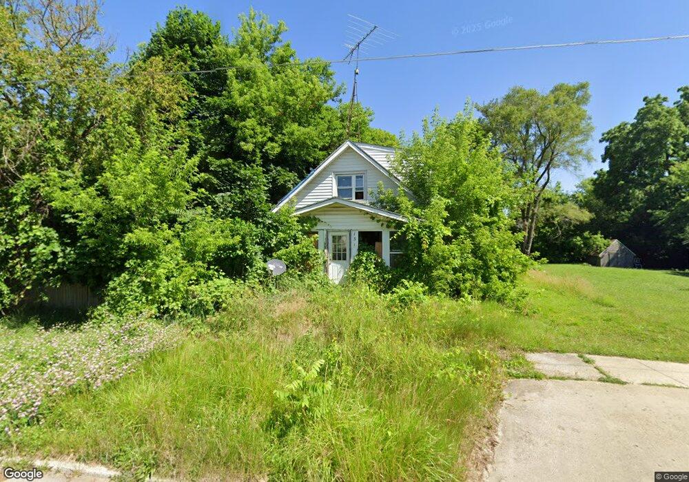
131 Bruce St Flint, MI 48503
Southside Business District NeighborhoodEstimated Value: $23,000 - $64,000
2
Beds
1
Bath
896
Sq Ft
$51/Sq Ft
Est. Value
About This Home
This home is located at 131 Bruce St, Flint, MI 48503 and is currently estimated at $46,116, approximately $51 per square foot. 131 Bruce St is a home located in Genesee County with nearby schools including Freeman Elementary School, Flint Southwestern Classical Academy, and International Academy of Flint (K-12).
Ownership History
Date
Name
Owned For
Owner Type
Purchase Details
Closed on
Oct 25, 2011
Sold by
Gross Anite M and Gross Annette M
Bought by
Gross Annette M
Current Estimated Value
Purchase Details
Closed on
Oct 5, 2011
Sold by
Bradshaw Garry R and Bradshaw Sharon K
Bought by
Gross Anite M
Purchase Details
Closed on
Jan 8, 2003
Sold by
Gallion Reid
Bought by
Deutsche Bank Trust Co Americas and Bankers Trust Co
Purchase Details
Closed on
Jul 5, 2001
Sold by
Pedrin Michael R and Pedrin Julie A
Bought by
Gallion Reid
Create a Home Valuation Report for This Property
The Home Valuation Report is an in-depth analysis detailing your home's value as well as a comparison with similar homes in the area
Home Values in the Area
Average Home Value in this Area
Purchase History
| Date | Buyer | Sale Price | Title Company |
|---|---|---|---|
| Gross Annette M | -- | None Available | |
| Gross Anite M | -- | None Available | |
| Deutsche Bank Trust Co Americas | $19,800 | -- | |
| Gallion Reid | $36,000 | Cislo Title Company |
Source: Public Records
Tax History
| Year | Tax Paid | Tax Assessment Tax Assessment Total Assessment is a certain percentage of the fair market value that is determined by local assessors to be the total taxable value of land and additions on the property. | Land | Improvement |
|---|---|---|---|---|
| 2025 | $707 | $13,600 | $0 | $0 |
| 2024 | $665 | $14,800 | $0 | $0 |
| 2023 | $658 | $13,100 | $0 | $0 |
| 2022 | $0 | $9,300 | $0 | $0 |
| 2021 | $662 | $8,100 | $0 | $0 |
| 2020 | $619 | $8,900 | $0 | $0 |
| 2019 | $613 | $7,100 | $0 | $0 |
| 2018 | $580 | $7,000 | $0 | $0 |
| 2017 | $568 | $0 | $0 | $0 |
| 2016 | $565 | $0 | $0 | $0 |
| 2015 | -- | $0 | $0 | $0 |
| 2014 | -- | $0 | $0 | $0 |
| 2012 | -- | $6,800 | $0 | $0 |
Source: Public Records
Map
Nearby Homes
- 149 E Tobias St
- 149 E Linsey Blvd
- 133 E Oakley St
- 2050 Ferris Ave
- 2224 Crocker Ave
- 2221 Howard Ave
- 3218 Collingwood Pkwy
- 213 E Lakeview Ave
- 636 Partridge St
- 2010 Crocker Ave
- 517 Morley Ave
- 115 E Livingston Dr
- 407 E 12th St
- 1720 Park St
- 2029 Winans Ave
- 1517 Tacoma St
- 1511 Tacoma St
- 1701 Park St
- 3214 S Grand Traverse St
- 615 Freeman Ave
Your Personal Tour Guide
Ask me questions while you tour the home.