131 Carney Ln Whitehall, MT 59759
Estimated Value: $468,000 - $931,000
3
Beds
2
Baths
3,000
Sq Ft
$260/Sq Ft
Est. Value
About This Home
This home is located at 131 Carney Ln, Whitehall, MT 59759 and is currently estimated at $781,040, approximately $260 per square foot. 131 Carney Ln is a home with nearby schools including Twin Bridges Elementary School, Twin Bridges Junior High School, and Twin Bridges High School.
Ownership History
Date
Name
Owned For
Owner Type
Purchase Details
Closed on
Dec 16, 2009
Sold by
Schlabach Devon J
Bought by
Mitchell Ross P and Mitchell Jennifer B
Current Estimated Value
Home Financials for this Owner
Home Financials are based on the most recent Mortgage that was taken out on this home.
Original Mortgage
$395,000
Outstanding Balance
$255,681
Interest Rate
4.91%
Mortgage Type
VA
Estimated Equity
$525,359
Create a Home Valuation Report for This Property
The Home Valuation Report is an in-depth analysis detailing your home's value as well as a comparison with similar homes in the area
Home Values in the Area
Average Home Value in this Area
Purchase History
| Date | Buyer | Sale Price | Title Company |
|---|---|---|---|
| Mitchell Ross P | -- | First National Title Company |
Source: Public Records
Mortgage History
| Date | Status | Borrower | Loan Amount |
|---|---|---|---|
| Open | Mitchell Ross P | $395,000 |
Source: Public Records
Tax History Compared to Growth
Tax History
| Year | Tax Paid | Tax Assessment Tax Assessment Total Assessment is a certain percentage of the fair market value that is determined by local assessors to be the total taxable value of land and additions on the property. | Land | Improvement |
|---|---|---|---|---|
| 2025 | $1,701 | $450,588 | $0 | $0 |
| 2024 | $2,068 | $397,800 | $0 | $0 |
| 2023 | $2,246 | $397,800 | $0 | $0 |
| 2022 | $1,796 | $254,053 | $0 | $0 |
| 2021 | $1,516 | $254,053 | $0 | $0 |
| 2020 | $1,520 | $221,904 | $0 | $0 |
| 2019 | $1,534 | $221,904 | $0 | $0 |
| 2018 | $1,502 | $213,821 | $0 | $0 |
| 2017 | $1,363 | $213,821 | $0 | $0 |
| 2016 | $1,607 | $235,996 | $0 | $0 |
| 2015 | $1,622 | $235,996 | $0 | $0 |
| 2014 | $1,543 | $115,955 | $0 | $0 |
Source: Public Records
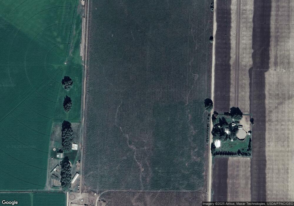
Map
Nearby Homes
- 18 White Rock Ln
- 285 Mt Highway 55
- 12 Bench Rd
- Lot 24 Jack Rabbit Ln
- 33 Fish Creek Rd
- TBD Montana 41
- 5301 Mt Highway 41 Hwy N
- 43 Stillwater Dr
- 6 Angler Way
- 47 Tobacco Root Rd
- 915 Point of Rocks Rd
- 5845 Dry Creek Ranch Rd
- 7 E Slope Rd
- 16 Upper Slope Rd
- Lot 10 S Boulder Rd
- Lot 11 S Boulder Rd
- TBD Sheep Camp Rd
- 1043 Montana 55
- 2674 S Boulder Rd
- 842 Mt Highway 2 W
- 132 Carney Ln Unit Waterloo
- 125 Carney Ln
- 153 Carney Ln
- 15 Wilhelm Ln
- 129 Wilhelm Ln
- 2 Gornick Ln
- 161 Carney Ln
- 83 Carney Ln
- 148 Carney Ln
- 97 Carney Ln
- 77 Carney Ln
- 20 White Rock Ln
- 51 Gornick Ln
- 33 Point of Rocks Rd
- 51 Parrot Way
- 18 White Rock Ln Unit LotWP001
- 60 Carney Ln
- 27 Parrot Way
- 53 Carney Ln
- 15 White Rock Ln