131 Daniel Way Divide, CO 80814
Estimated Value: $776,685 - $867,000
3
Beds
3
Baths
1,864
Sq Ft
$437/Sq Ft
Est. Value
About This Home
This home is located at 131 Daniel Way, Divide, CO 80814 and is currently estimated at $814,671, approximately $437 per square foot. 131 Daniel Way is a home located in Teller County with nearby schools including Woodland Park Junior/Senior High School and Merit Academy.
Ownership History
Date
Name
Owned For
Owner Type
Purchase Details
Closed on
Aug 14, 2014
Sold by
Epstein Michael and Epstein Barbara
Bought by
Garber Paul Jerod and Garber Billie Sue
Current Estimated Value
Purchase Details
Closed on
Dec 20, 2011
Sold by
Epstein Michael and Epstein Barbara
Bought by
The Epstein Family Trust
Purchase Details
Closed on
May 20, 2005
Sold by
Mardinly James J and Lotka Maureen E
Bought by
Epstein Michael and Epstein Barbara
Home Financials for this Owner
Home Financials are based on the most recent Mortgage that was taken out on this home.
Original Mortgage
$316,000
Interest Rate
5.92%
Mortgage Type
Fannie Mae Freddie Mac
Purchase Details
Closed on
Jun 28, 1996
Bought by
Garber Paul Jerold and Garber Billie Sue
Purchase Details
Closed on
May 4, 1994
Bought by
Garber Paul Jerold and Garber Billie Sue
Create a Home Valuation Report for This Property
The Home Valuation Report is an in-depth analysis detailing your home's value as well as a comparison with similar homes in the area
Home Values in the Area
Average Home Value in this Area
Purchase History
| Date | Buyer | Sale Price | Title Company |
|---|---|---|---|
| Garber Paul Jerod | $366,500 | Empire Title North Llc | |
| The Epstein Family Trust | -- | None Available | |
| Epstein Michael | $395,000 | Security Title | |
| Garber Paul Jerold | $19,500 | -- | |
| Garber Paul Jerold | $15,000 | -- |
Source: Public Records
Mortgage History
| Date | Status | Borrower | Loan Amount |
|---|---|---|---|
| Previous Owner | Epstein Michael | $316,000 |
Source: Public Records
Tax History
| Year | Tax Paid | Tax Assessment Tax Assessment Total Assessment is a certain percentage of the fair market value that is determined by local assessors to be the total taxable value of land and additions on the property. | Land | Improvement |
|---|---|---|---|---|
| 2024 | $2,640 | $48,120 | $6,893 | $41,227 |
| 2023 | $2,793 | $48,120 | $6,890 | $41,230 |
| 2022 | $2,054 | $36,250 | $4,070 | $32,180 |
| 2021 | $2,123 | $37,290 | $4,190 | $33,100 |
| 2020 | $2,136 | $38,440 | $4,380 | $34,060 |
| 2019 | $2,110 | $38,440 | $0 | $0 |
| 2018 | $1,545 | $27,290 | $0 | $0 |
| 2017 | $1,549 | $27,290 | $0 | $0 |
| 2016 | $1,427 | $25,070 | $0 | $0 |
| 2015 | $1,602 | $25,070 | $0 | $0 |
| 2014 | $1,610 | $24,870 | $0 | $0 |
Source: Public Records
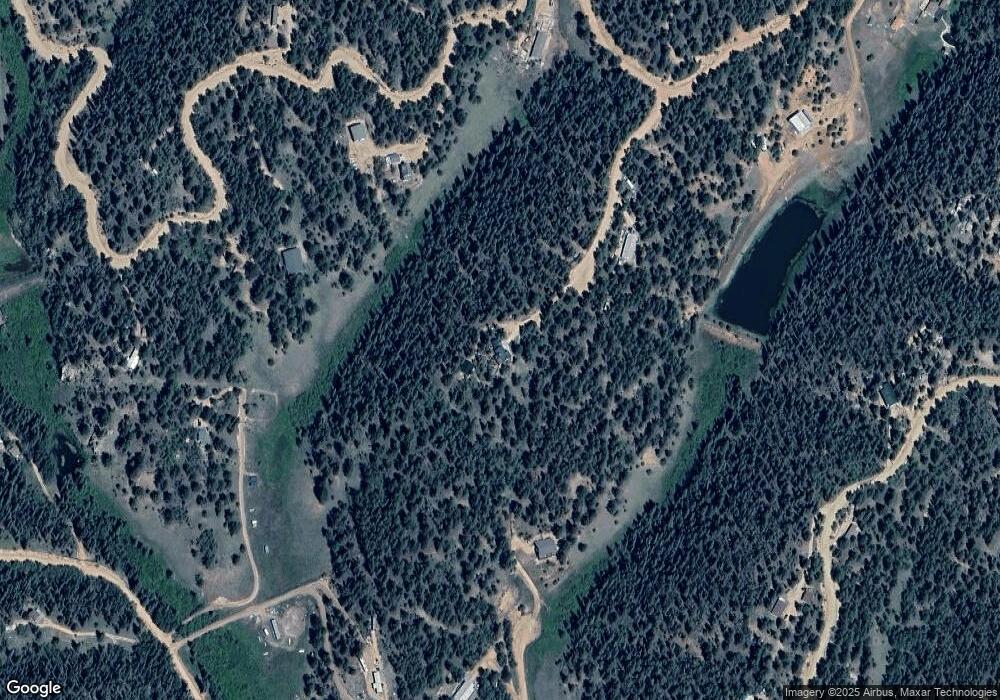
Map
Nearby Homes
- 381 Saddleback Creek Dr
- 449 Woody Creek Rd
- 7935 County Road 51 Unit 32
- 4710 Wildhorn Rd
- 65 Spruce Creek Rd
- 2450 Pathfinder Rd
- 1002 Indian Creek Rd Unit R0011770
- 1360 Kiowa Rd
- 1641 Kiowa Rd
- 86 Bear Creek Dr
- 79 Beaver Creek Cir
- 3447 Pathfinder Rd
- 185 Wildcat Creek Dr
- 860 Spring Creek Dr
- 76 Ute Creek Dr
- 3721 County Road 3
- 1001 E Bison Creek Trail
- 464 E Bison Creek Trail
- 2265 Vagabond Creek Dr
- 1965 Vagabond Creek Dr Unit 9
- 98 Colt Cir
- 638 John Dr
- 346 John Dr
- 241 Pioneer Creek Dr
- 734 John Dr
- 205 Pioneer Creek Dr
- 205 Pioneer Creek Dr
- 29 Colt Cir
- 54 Colt Cir
- 116 John Dr
- 926 John Dr
- 3579 Pathfinder Rd
- 591 John Dr
- 3647 Pathfinder Rd
- 51 Circle Dr Unit COLT
- 509 John Dr
- 3576 Pathfinder Rd
- 1249 Gold Dust Creek Rd
- 877 John Dr
- 509 John Dr