

131 Durham Rd Unit B Freeport, ME 04032
2
Beds
1
Bath
900
Sq Ft
3
Acres
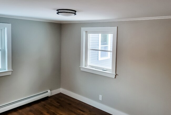
About This Home
Property Id: 1114556
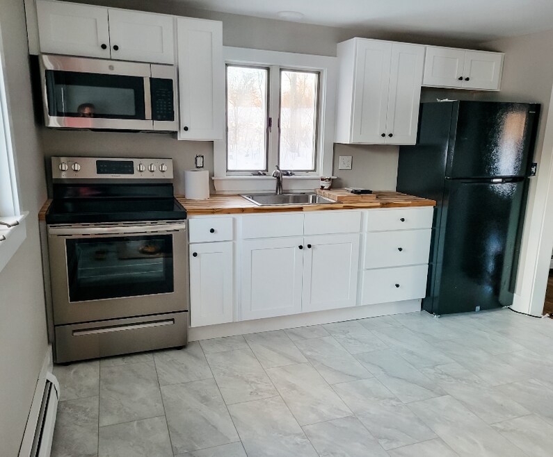
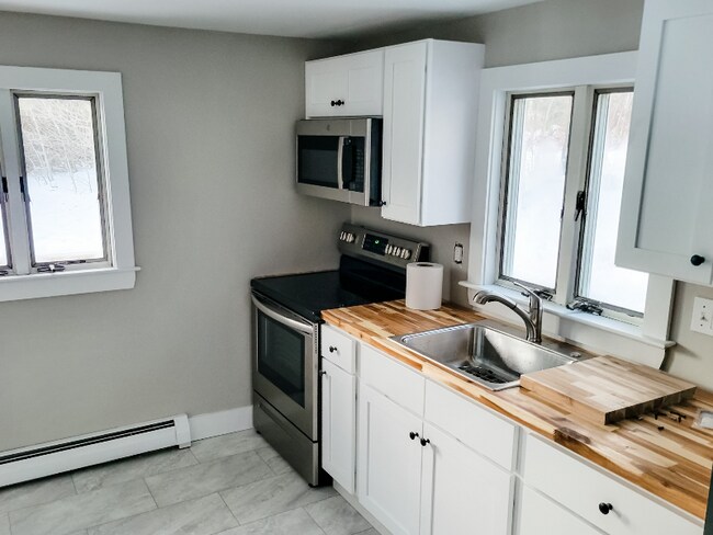
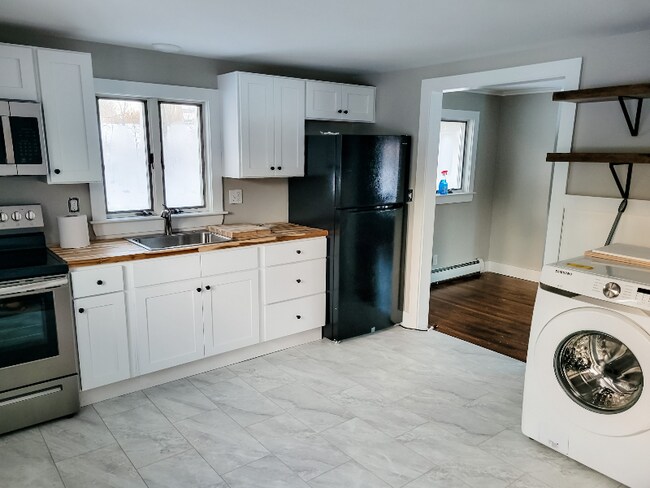
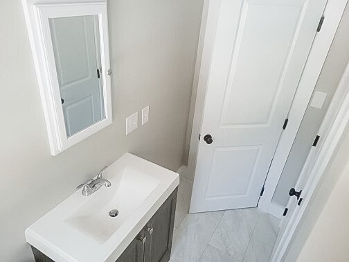
Beautifully renovated 2BR/1BA unit nestled on peaceful 3 acres - minutes from vibrant Freeport!
Unwind in approximately 900 sq ft featuring:
-Recently renovated kitchen
-Sparkling updated bathroom
-Recent tile & flooring
-Fresh paint & modern trim
-Spacious bedrooms & natural light
-Convenient driveway parking
-Tranquil 3-acre setting
-Minutes to downtown
More than just a living space, it's a peaceful oasis close to town. Schedule your viewing today!
Listing Provided By

Map
Nearby Homes
- 4 Poland Rd Unit B
- 2 Conway St
- 18 Sandy Beach Rd
- 194 Swamp Rd Unit 178 Swamp Rd
- 158 Mckeen St
- 13 Krampf Cir
- 1175 Mere Point Rd Unit Apartment B
- 1 Juniper Dr
- 20 Emanual Dr
- 11 Ivanhoe Dr
- 61 Cumberland St
- 7 Spring St Unit A
- 30 E Elm St Unit B
- 35 Cumberland St Unit 3
- 35 Cumberland St Unit 1
- 298 Main St
- 278 Maine St Unit 3 Columbia Ave
- 17 Page St Unit 1
- 15 Lincoln St Unit 3
- 8 Page St Unit 2