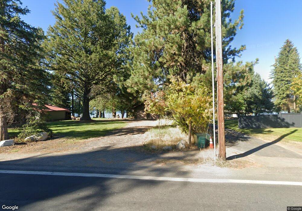
131 E Lake St McCall, ID 83638
Estimated Value: $1,358,000 - $3,494,000
4
Beds
3
Baths
1,280
Sq Ft
$2,101/Sq Ft
Est. Value
About This Home
This home is located at 131 E Lake St, McCall, ID 83638 and is currently estimated at $2,689,369, approximately $2,101 per square foot. 131 E Lake St is a home with nearby schools including McCall-Donnelly High School, Mountain Life Education, and McCall Adventist Christian School.
Ownership History
Date
Name
Owned For
Owner Type
Purchase Details
Closed on
Sep 15, 2025
Sold by
Hormaechea Carmen and Hormaechea Michael
Bought by
Hormaechea Michael
Current Estimated Value
Purchase Details
Closed on
Mar 24, 2021
Sold by
Massman Gretchen I
Bought by
Massman Gretchen I
Purchase Details
Closed on
Feb 25, 2020
Sold by
Gordon Ione C and Massman Gretchen I
Bought by
Gordon Ione C and Massman Gretchen I
Create a Home Valuation Report for This Property
The Home Valuation Report is an in-depth analysis detailing your home's value as well as a comparison with similar homes in the area
Home Values in the Area
Average Home Value in this Area
Purchase History
| Date | Buyer | Sale Price | Title Company |
|---|---|---|---|
| Hormaechea Michael | -- | Title One | |
| Massman Gretchen I | -- | None Available | |
| Gordon Ione C | -- | None Available |
Source: Public Records
Tax History
| Year | Tax Paid | Tax Assessment Tax Assessment Total Assessment is a certain percentage of the fair market value that is determined by local assessors to be the total taxable value of land and additions on the property. | Land | Improvement |
|---|---|---|---|---|
| 2025 | $13,964 | $3,922,587 | $2,816,287 | $1,106,300 |
| 2023 | $13,964 | $2,640,703 | $1,670,124 | $970,579 |
| 2022 | $11,528 | $2,405,734 | $1,530,947 | $874,787 |
| 2021 | $11,636 | $1,623,241 | $1,097,860 | $525,381 |
| 2020 | $11,481 | $1,413,813 | $994,706 | $419,107 |
| 2019 | $11,506 | $1,296,903 | $935,761 | $361,142 |
| 2018 | $12,312 | $1,267,817 | $942,918 | $324,899 |
| 2017 | $12,245 | $1,184,335 | $867,087 | $317,248 |
| 2016 | $12,635 | $1,195,257 | $867,087 | $328,170 |
| 2015 | $12,905 | $1,175,652 | $0 | $0 |
| 2013 | -- | $1,200,864 | $0 | $0 |
Source: Public Records
Map
Nearby Homes
- 101 E Lake St Unit C15
- 704 Brown Dr
- Lot 1 Springer Ct Unit 1
- Lot 1 Springer Ct
- TBD Divot Ln Unit 4
- 616 N 3rd St Unit 304
- 616 N 3rd St Unit 211
- 616 N 3rd St Unit 215
- 137 Stibnite St E
- 324 Sunshine
- TBD N Mission St
- 1850 National Forest Development Road 318th
- 697 N Samson Trail Unit 7
- 699 N Samson Trail Unit 5
- 697 N Samson Trail
- 699 N Samson Trail
- 790 Idaho 55
- 601 Hemlock St Unit 10
- 305 N 3rd St
- 615 Syringa Dr
Your Personal Tour Guide
Ask me questions while you tour the home.