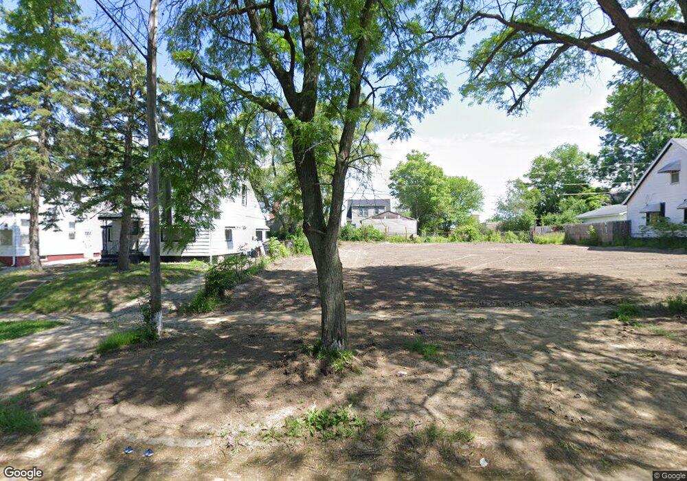
131 E Pulaski Ave Flint, MI 48505
King Avenue Plus NeighborhoodEstimated Value: $29,000 - $61,627
3
Beds
1
Bath
905
Sq Ft
$50/Sq Ft
Est. Value
About This Home
This home is located at 131 E Pulaski Ave, Flint, MI 48505 and is currently estimated at $45,542, approximately $50 per square foot. 131 E Pulaski Ave is a home located in Genesee County with nearby schools including Brownell STEM Academy, The New Standard Academy, and Eagle's Nest Academy.
Ownership History
Date
Name
Owned For
Owner Type
Purchase Details
Closed on
Aug 11, 2008
Sold by
Wells Fargo Bank Na
Bought by
Foster Debra
Current Estimated Value
Purchase Details
Closed on
Feb 14, 2008
Sold by
Tyler Quentella
Bought by
Wells Fargo Bank Na
Purchase Details
Closed on
Jul 27, 2001
Sold by
Lard Betty
Bought by
Tyler Quentella
Home Financials for this Owner
Home Financials are based on the most recent Mortgage that was taken out on this home.
Original Mortgage
$45,450
Interest Rate
7.14%
Create a Home Valuation Report for This Property
The Home Valuation Report is an in-depth analysis detailing your home's value as well as a comparison with similar homes in the area
Home Values in the Area
Average Home Value in this Area
Purchase History
| Date | Buyer | Sale Price | Title Company |
|---|---|---|---|
| Foster Debra | $3,900 | None Available | |
| Wells Fargo Bank Na | -- | None Available | |
| Tyler Quentella | $47,000 | -- |
Source: Public Records
Mortgage History
| Date | Status | Borrower | Loan Amount |
|---|---|---|---|
| Previous Owner | Tyler Quentella | $45,450 |
Source: Public Records
Tax History
| Year | Tax Paid | Tax Assessment Tax Assessment Total Assessment is a certain percentage of the fair market value that is determined by local assessors to be the total taxable value of land and additions on the property. | Land | Improvement |
|---|---|---|---|---|
| 2025 | -- | $0 | $0 | $0 |
| 2024 | -- | $0 | $0 | $0 |
| 2023 | -- | $0 | $0 | $0 |
| 2022 | $0 | $0 | $0 | $0 |
| 2021 | $0 | $0 | $0 | $0 |
| 2020 | $0 | $0 | $0 | $0 |
| 2019 | $788 | $0 | $0 | $0 |
| 2018 | $530 | $5,200 | $0 | $0 |
| 2017 | $520 | $0 | $0 | $0 |
| 2016 | $788 | $0 | $0 | $0 |
| 2015 | -- | $0 | $0 | $0 |
| 2014 | -- | $0 | $0 | $0 |
| 2012 | -- | $11,200 | $0 | $0 |
Source: Public Records
Map
Nearby Homes
- 124 W Flint Park Blvd
- 350 E Mott Ave
- 329 W Baltimore Blvd
- 506 W Marengo Ave
- 605 E Baltimore Blvd
- 525 W Pulaski Ave
- 618 E Parkway Ave
- 680 E Pierson Rd
- 225 E Piper Ave
- 702/718 W Flint Park Blvd
- 5714 Suburban Ct
- 4808 Edwards Ave
- 606 W Stewart Ave
- 345 E Austin Ave
- 536 W Home Ave
- 5610 Baldwin Blvd
- 3810 Marvin St
- 505 W Ruth Ave
- 610 W Austin Ave
- 421 E Lorado Ave
- 135 E Pulaski Ave
- 127 E Pulaski Ave
- 201 E Pulaski Ave
- 123 E Pulaski Ave
- 132 E Pierson Rd
- 128 E Pierson Rd
- 205 E Pulaski Ave
- 115 E Pulaski Ave
- 209 E Pulaski Ave
- 210 E Pierson Rd
- 132 E Pulaski Ave
- 136 E Pulaski Ave
- 128 E Pulaski Ave
- 116 E Pierson Rd
- 202 E Pulaski Ave
- 124 E Pulaski Ave
- 111 E Pulaski Ave
- 213 E Pulaski Ave
- 206 E Pulaski Ave
- 120 E Pulaski Ave
Your Personal Tour Guide
Ask me questions while you tour the home.