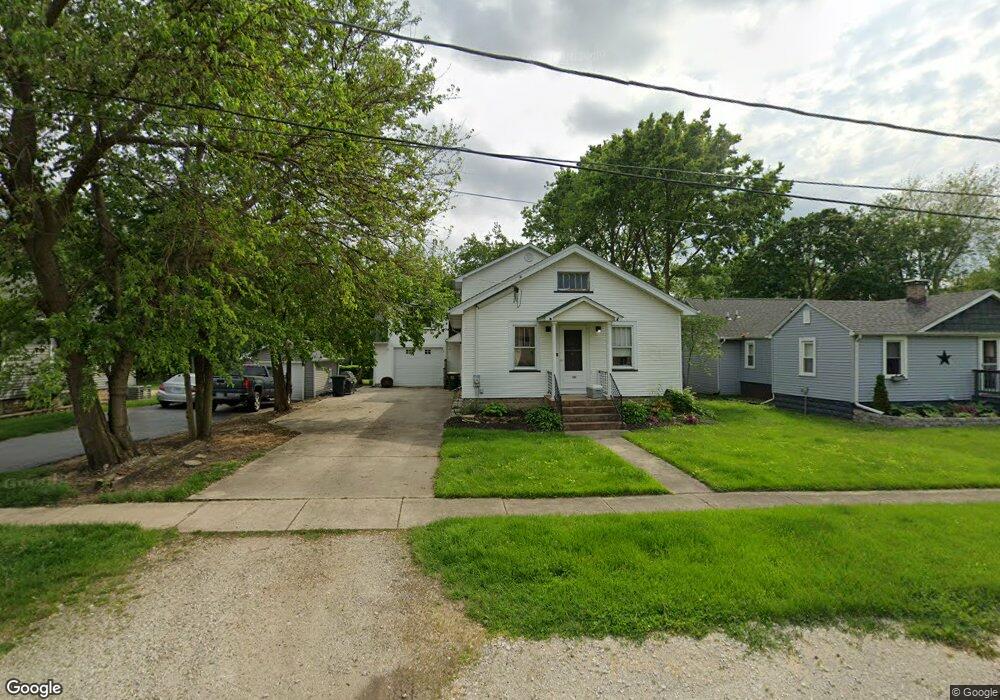
131 E Tyler St Oswego, IL 60543
Downtown Oswego NeighborhoodEstimated Value: $311,000 - $371,000
4
Beds
2
Baths
2,256
Sq Ft
$153/Sq Ft
Est. Value
About This Home
This home is located at 131 E Tyler St, Oswego, IL 60543 and is currently estimated at $345,386, approximately $153 per square foot. 131 E Tyler St is a home located in Kendall County with nearby schools including Southbury Elementary School, Traughber Junior High School, and Oswego High School.
Ownership History
Date
Name
Owned For
Owner Type
Purchase Details
Closed on
Dec 16, 2024
Sold by
Murray Mary
Bought by
Mary Condon Murray Trust and Murray
Current Estimated Value
Purchase Details
Closed on
Feb 4, 1999
Sold by
Condon Rose Mary
Bought by
Murray Mary
Purchase Details
Closed on
Jul 1, 1986
Create a Home Valuation Report for This Property
The Home Valuation Report is an in-depth analysis detailing your home's value as well as a comparison with similar homes in the area
Home Values in the Area
Average Home Value in this Area
Purchase History
| Date | Buyer | Sale Price | Title Company |
|---|---|---|---|
| Mary Condon Murray Trust | -- | None Listed On Document | |
| Mary Condon Murray Trust | -- | None Listed On Document | |
| Murray Mary | -- | -- | |
| -- | $45,000 | -- |
Source: Public Records
Tax History
| Year | Tax Paid | Tax Assessment Tax Assessment Total Assessment is a certain percentage of the fair market value that is determined by local assessors to be the total taxable value of land and additions on the property. | Land | Improvement |
|---|---|---|---|---|
| 2024 | $6,518 | $91,998 | $24,285 | $67,713 |
| 2023 | $5,631 | $80,700 | $21,303 | $59,397 |
| 2022 | $5,631 | $73,363 | $19,366 | $53,997 |
| 2021 | $5,700 | $71,924 | $18,986 | $52,938 |
| 2020 | $5,623 | $70,514 | $18,614 | $51,900 |
| 2019 | $5,663 | $70,000 | $18,614 | $51,386 |
| 2018 | $6,637 | $74,516 | $16,871 | $57,645 |
| 2017 | $6,425 | $68,678 | $15,549 | $53,129 |
| 2016 | $6,147 | $65,097 | $14,738 | $50,359 |
| 2015 | $6,174 | $62,593 | $14,171 | $48,422 |
| 2014 | -- | $60,186 | $13,626 | $46,560 |
| 2013 | -- | $69,032 | $14,194 | $54,838 |
Source: Public Records
Map
Nearby Homes
- 206 E Washington St
- 69 Monroe St
- 268 S Adams St
- 55 Garfield St
- 238 Cooney Way
- 403 Tanya Ln
- 251 Cooney Way
- 237 Cooney Way
- 236 Cooney Way
- 101 Bell Ct
- 616 Briarwood Ln
- 395 Danforth Dr
- 5055 U S 34
- 1451 Vintage Dr
- 114 Riverview Ct
- 739 Alberta Ave
- 187 Eisenhower Dr
- 94 Templeton Dr
- 706 Springside Ct
- 505 Parkland Ct
- 125 E Tyler St
- 4 Faro Ct
- 117 E Tyler St
- 169 E Washington St
- 122 E Tyler St
- 107 E Tyler St
- 3 Faro Ct
- 75 E Tyler St
- 116 E Tyler St
- 105 E Tyler St
- 207 E Washington St
- 112 E Tyler St
- 2 Faro Ct
- 88 E Benton St
- 106 E Tyler St
- 80 E Benton St
- 136 E Washington St
- 96 E Benton St
- 117 E Washington St
- 130 E Washington St